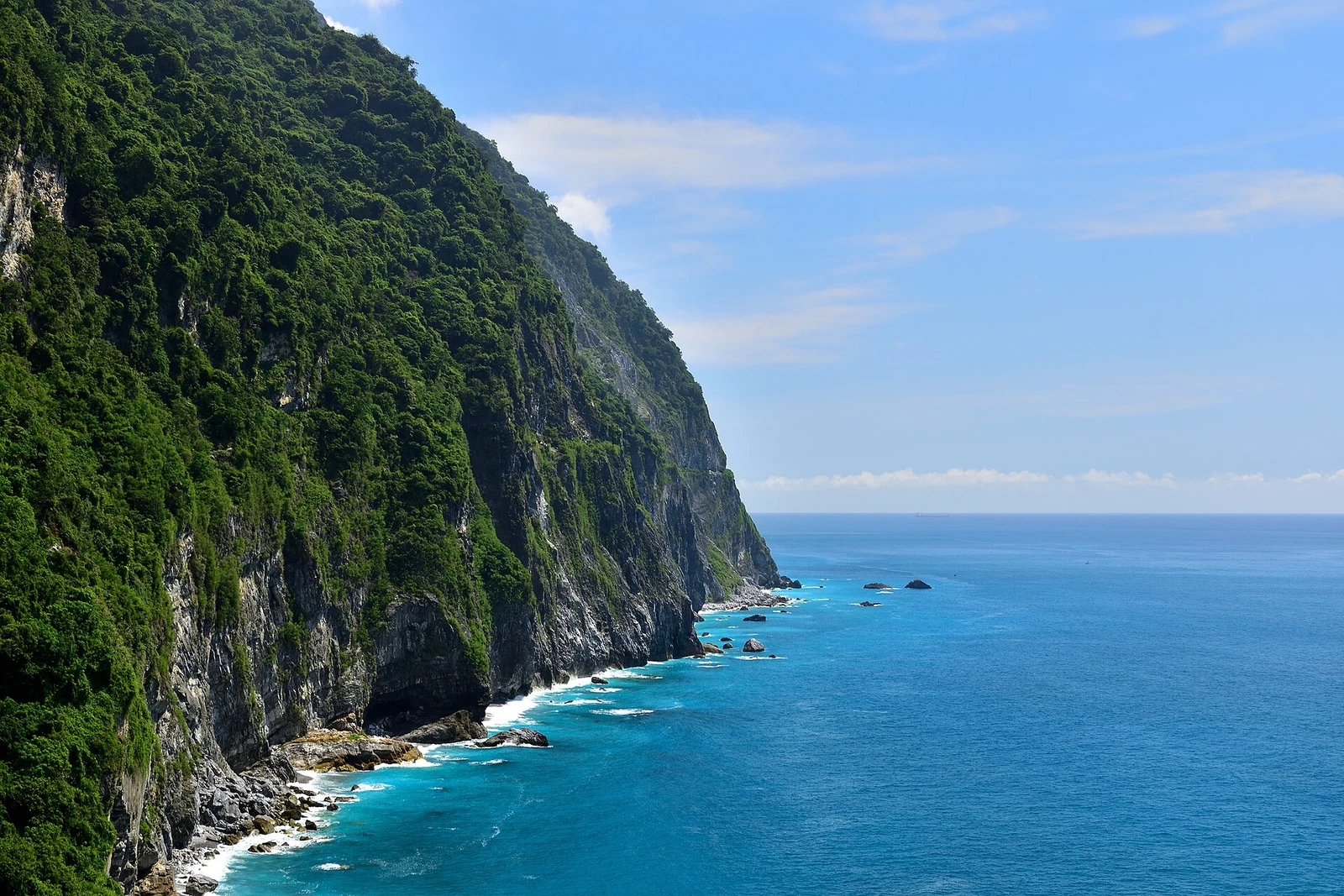
The Qingshui Cliff runs for about twenty-one kilometres along the coast of Xiulin Township, at the southern end of the Suhua Highway. The cliffs average 800 metres above the sea, and Qingshui Mountain rises 2,408 metres almost directly from the water. There are very few coastal cliffs in the world with this much elevation gain in such a short distance. The rock is a metamorphic complex of marble, gneiss and green schist, sheared and folded by the collision that built the island. Below the road, the beaches are made of marble cobbles and sand.
From the journal
The road under the wall
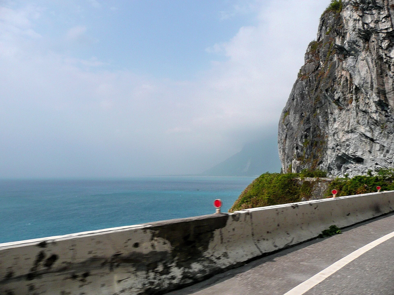
The Suhua Highway runs along the foot of a 2,400-metre mountain that drops straight into the Pacific. The cliff is both a landscape and a barrier.
In the same city · Hualien ↗A mountain with no foothills
A barrier for species and roads
The cliff is a boundary in more than one sense. Biologists have found that it separates eastern and western populations of the brown tree frog and two closely related species of grass lizard, with the split occurring across the Liwu River. For people, the cliff was long an obstacle: the road along it was cut into the rock in the twentieth century, and the railway runs through tunnels below. Landslides are frequent after typhoons and earthquakes. The highway has been rebuilt and widened in sections, with tunnels replacing the most exposed stretches, but the cliff still sets the terms.
How to see it
The classic view is from the road itself, where the cliff rises on one side and the Pacific falls away on the other. There are lay-bys and a few short trails, but the road is narrow and used by trucks, so stopping requires care. The railway offers a different view from the tunnels and bridges between Heren and Chongde. On a clear day the water is deep blue and the cliff face is grey and green, with the bedding planes tilted at a steep angle. The cliff is within Taroko National Park, so the same access warnings apply, especially after heavy rain.