The City on This Bank
Dandong’s riverfront holds public parks, remembered crossings and a food culture connected to the wider region.
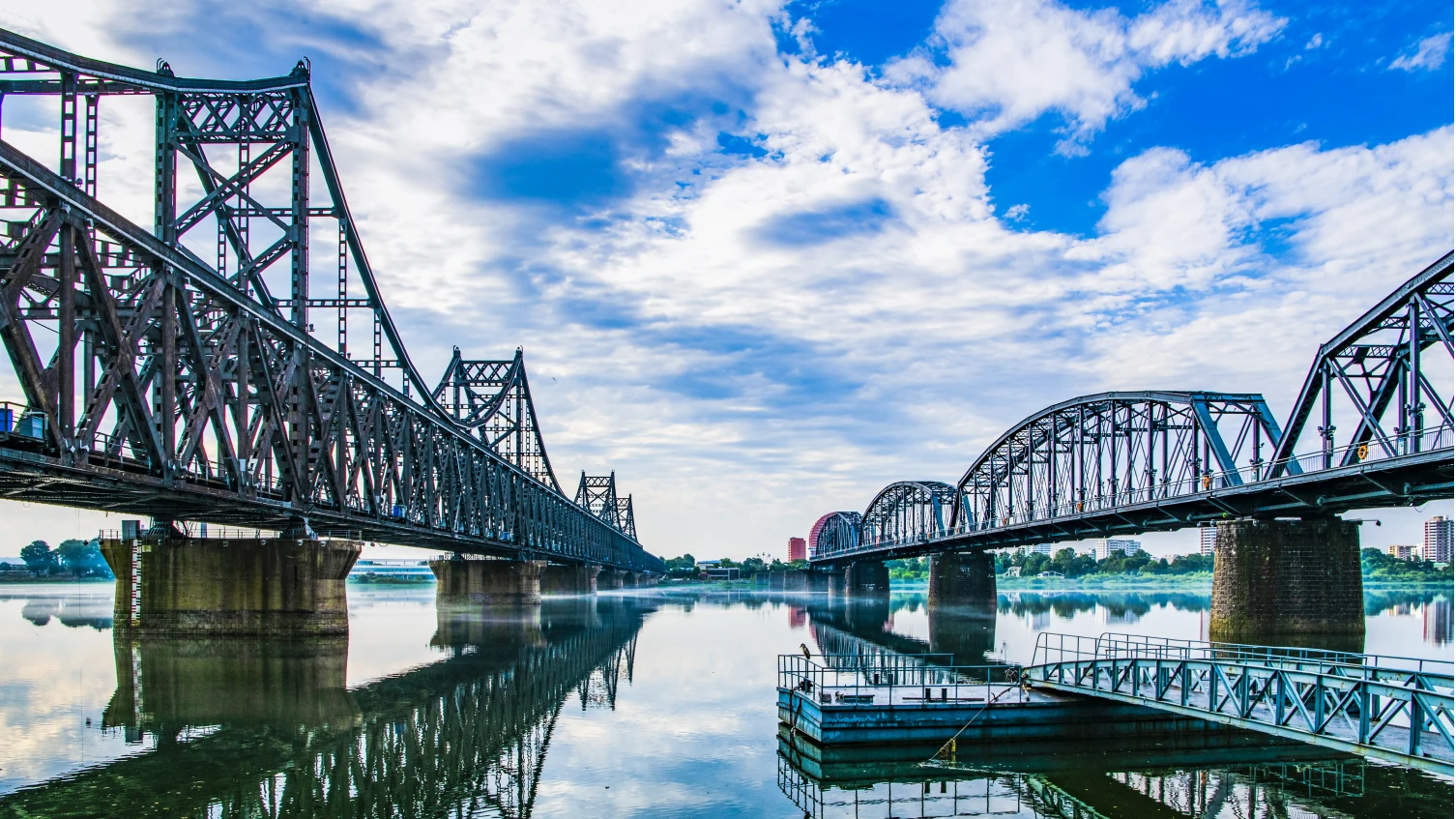
The Yalu River places Dandong beside North Korea, with Sinuiju across from the urban waterfront. Bridges and war memorials make that geography visible, but they are only part of the city’s story. Public parks share the riverbank with commemorative spaces; upstream, Hekou’s orchards follow a working calendar of blossom and fruit.
The wider prefecture extends into Fengcheng’s mountains and Donggang’s coast. At Dagushan, temple names connect a hillside to seafaring beliefs. On Dalu Island, fishing households live with both maritime memory and practical questions of water supply and tidal circulation. Farther along the shore, migratory birds depend on organisms hidden in the mud. Dandong’s river, towns and sea belong to one regional picture, though each deserves its own close view.
Dandong’s riverfront holds public parks, remembered crossings and a food culture connected to the wider region.
At the Yalu estuary, a shorebird’s long journey depends on small animals in the mud and a feeding ground that remains productive.
Four surviving spans turn an interrupted crossing into a material record of the Korean War.
A rebuilt ridge-top wall gives visible form to the eastern reaches of the Ming defensive system.
A hilltop museum connects monumental remembrance with documents and objects from wartime work.
Peach orchards give a Yalu-side village a calendar of spring flowers, autumn fruit and work between.
At Donggang’s tidal shore, mud holds the food needed for journeys across the East Asian–Australasian Flyway.
Narrow rock ridges and modern walkways show different ways of making a mountain approachable.
Fishing, seafood and the memory of an 1894 naval battle share an island with the practical demands of coastal life.
A coastal hillside gathers historic temples and newer religious buildings with distinct dates and purposes.