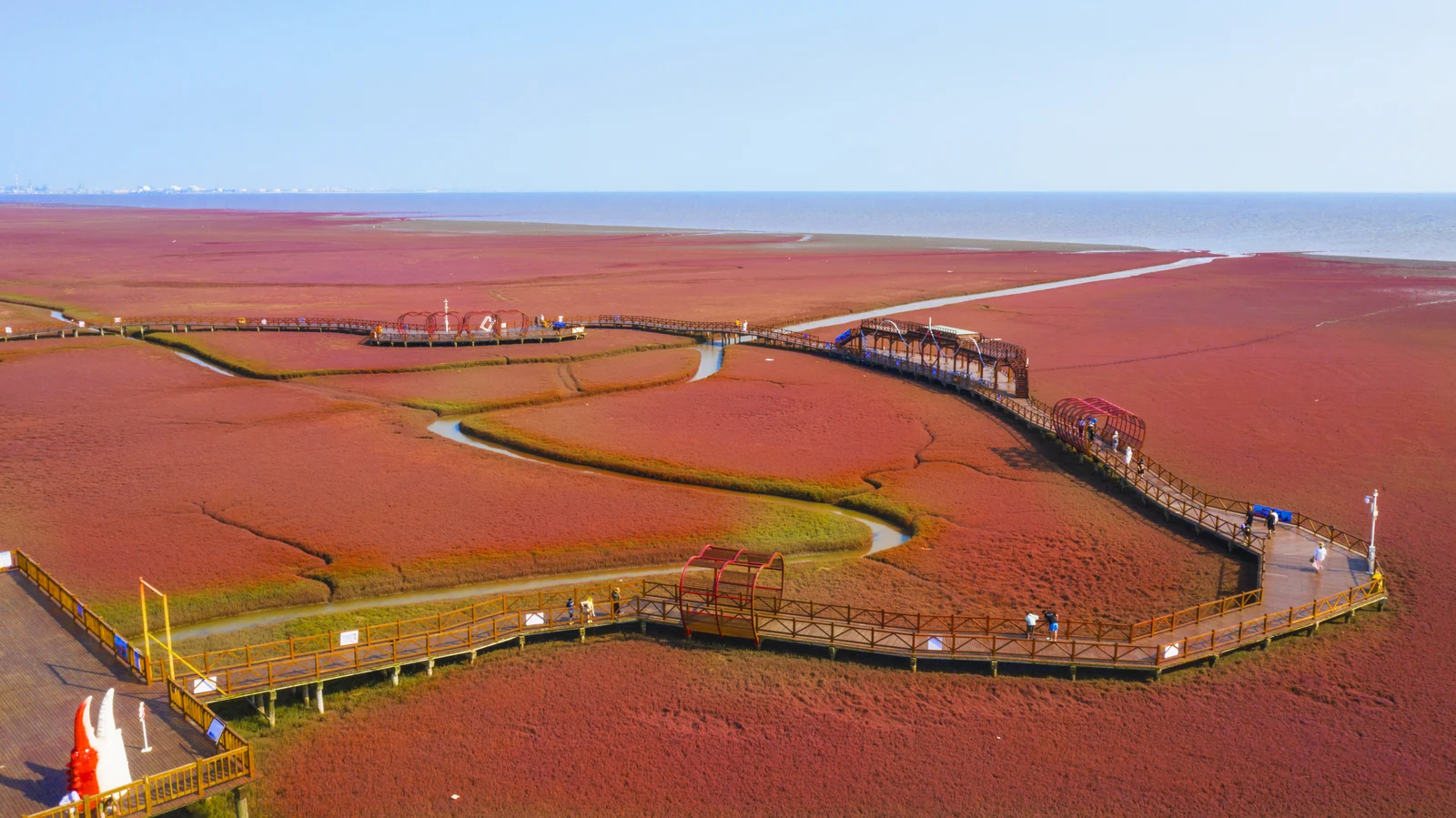
A Red Beach Made of Small Plants
The broad sweep of colour begins with the leaves of a salt-tolerant plant, not with red sand.
Panjin is best understood through water and the different ways people manage it. Near Liaodong Bay, low saltmarsh plants create the Red Beach’s changing colour; elsewhere, reed beds shelter birds and farmers raise crabs among rice. The modern city also grew with the Liaohe oilfield. These landscapes connect through conservation, work and the decisions that shape a river delta.
The broad sweep of colour begins with the leaves of a salt-tolerant plant, not with red sand.
Restoring a saltmarsh means more than putting plants back: it means understanding how water reaches them.
ReadA paddy can hold two kinds of harvest, but sharing the water takes careful management.
Read
Panjin’s wetlands and industrial history belong to the same landscape, with people working along their meeting edges.
Read