Dongxi Xiang: Old Streets and New Fabric
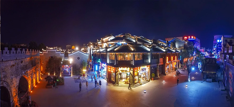
The lanes outside Jingjiang Princes’ City show how inherited urban space, buried remains and reconstruction can coexist.
Guilin is both an urban destination and a wider prefecture-level jurisdiction. Its city centre brings limestone peaks, inscribed cliffs and a former princely compound into close proximity. Farther south, Yangshuo County offers the Li River corridor and the smaller Yulong valley; Longsheng, Xing’an and Gongcheng open different histories within the same jurisdiction. Begin with the landscape’s structure, then follow particular traces of human work: stone writing, a bridge repair, a noodle-maker’s judgement or the maintenance of a field. The region becomes more interesting when its famous view is allowed to contain changing lives.
The lanes outside Jingjiang Princes’ City show how inherited urban space, buried remains and reconstruction can coexist.
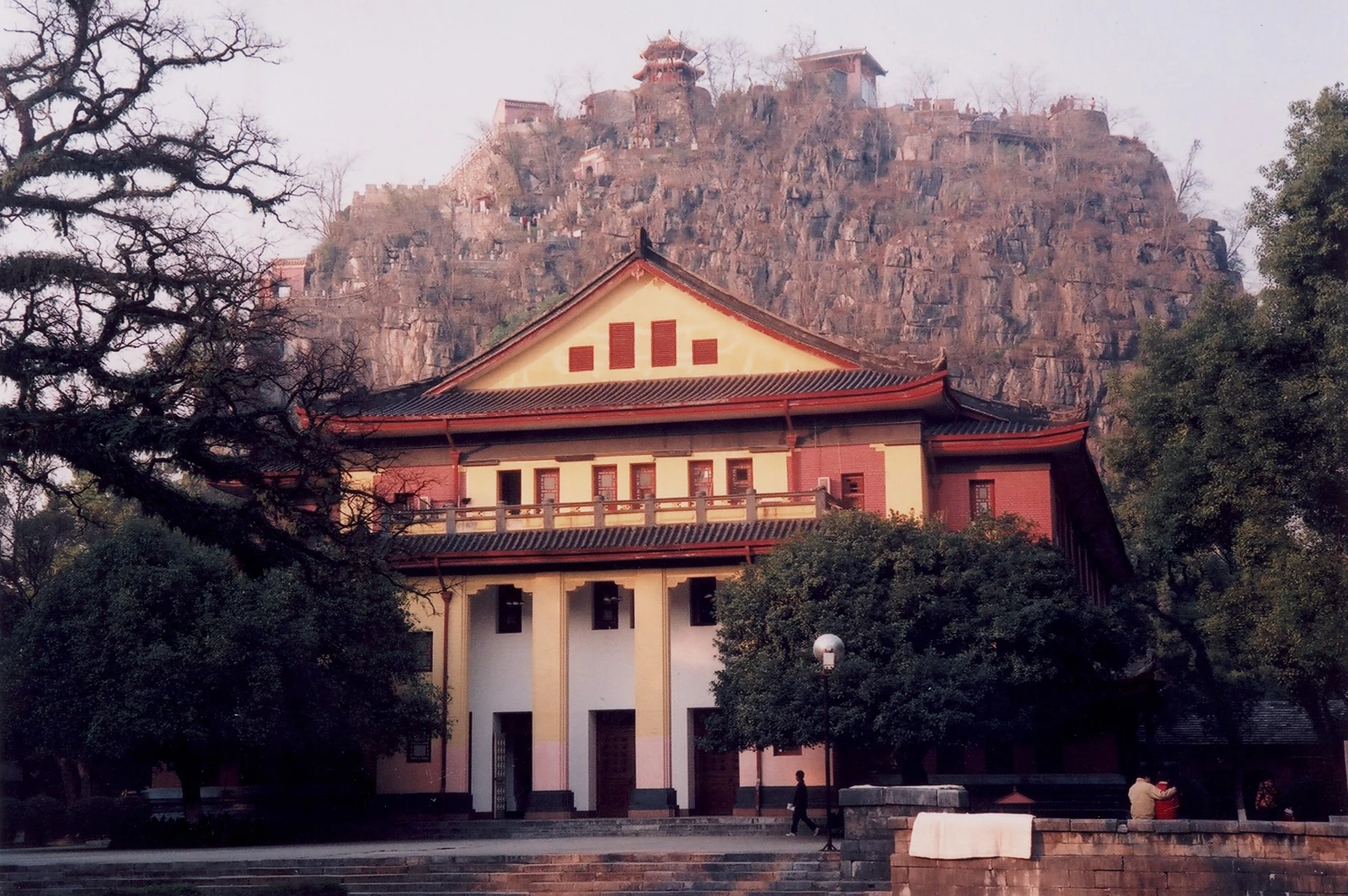
Duxiu Peak’s famous inscription connects landscape praise with examination ambition and a much longer literary conversation.
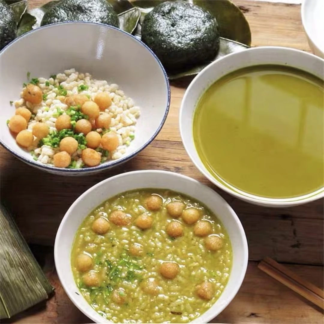
Pounding, boiling and sharing turn tea into a savory social occasion in Gongcheng Yao Autonomous County, southeast of Guilin.
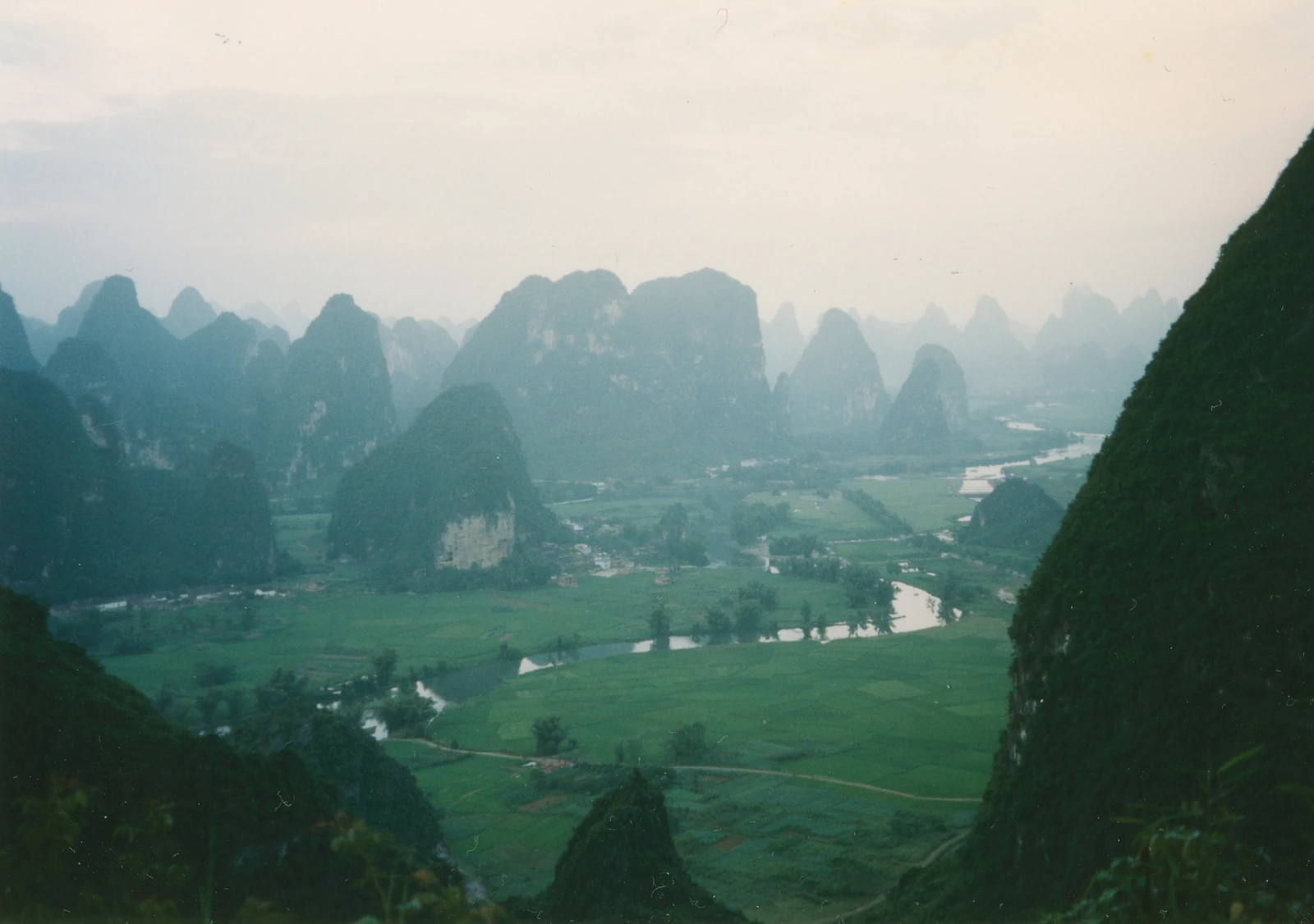
Guilin’s limestone landscape includes clustered hills, isolated towers and the water-shaped ground between them.
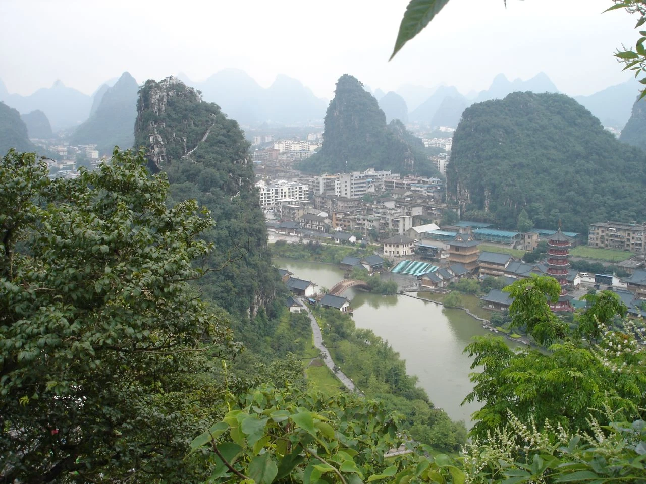
Named waterways, designed lake gardens and Elephant Trunk Hill bring water, limestone and urban history together in central Guilin.
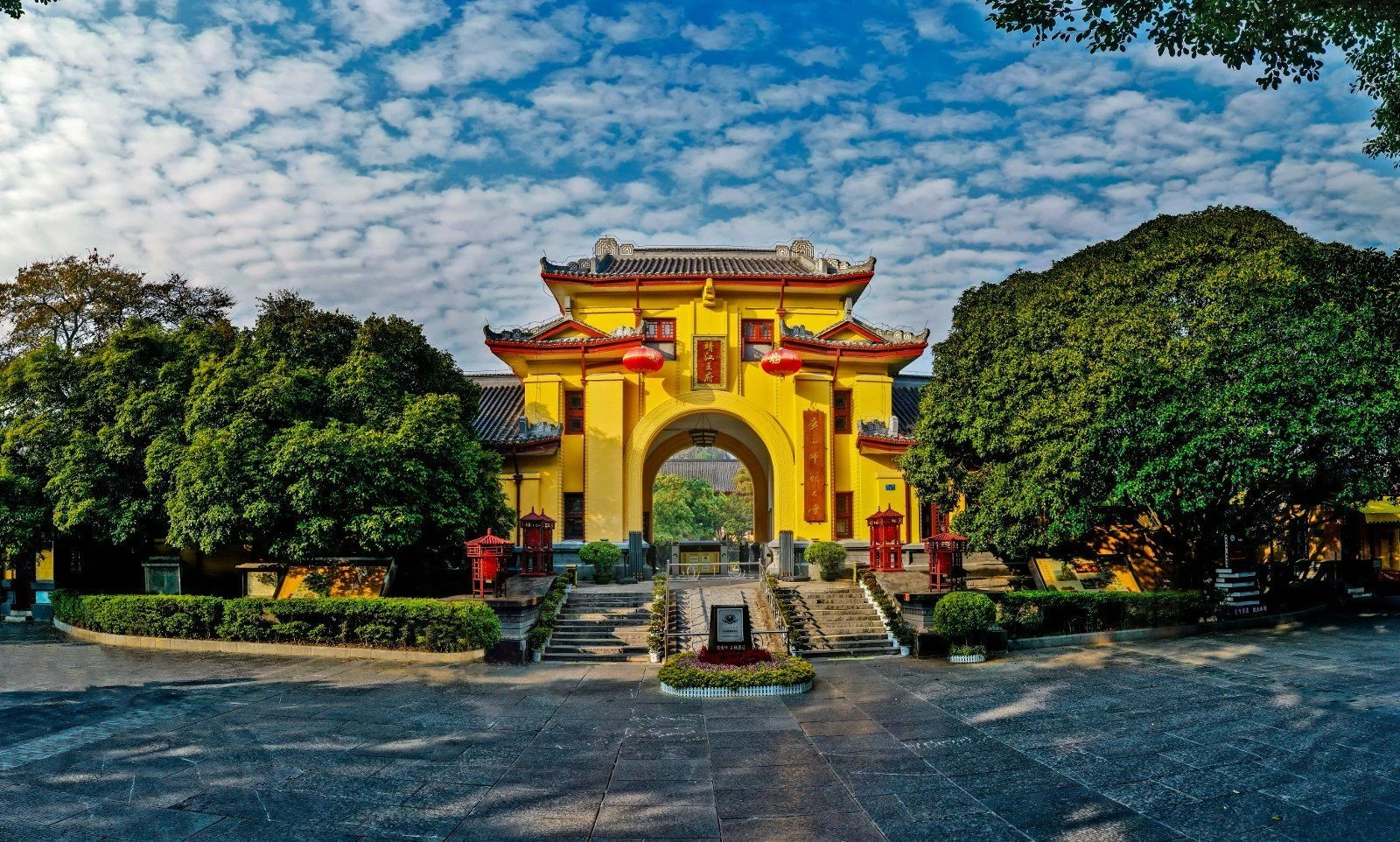
Duxiu Peak anchors Jingjiang Princes’ City, where Ming rule, Qing examinations, modern education and archaeological remains occupy the same Guilin compound.
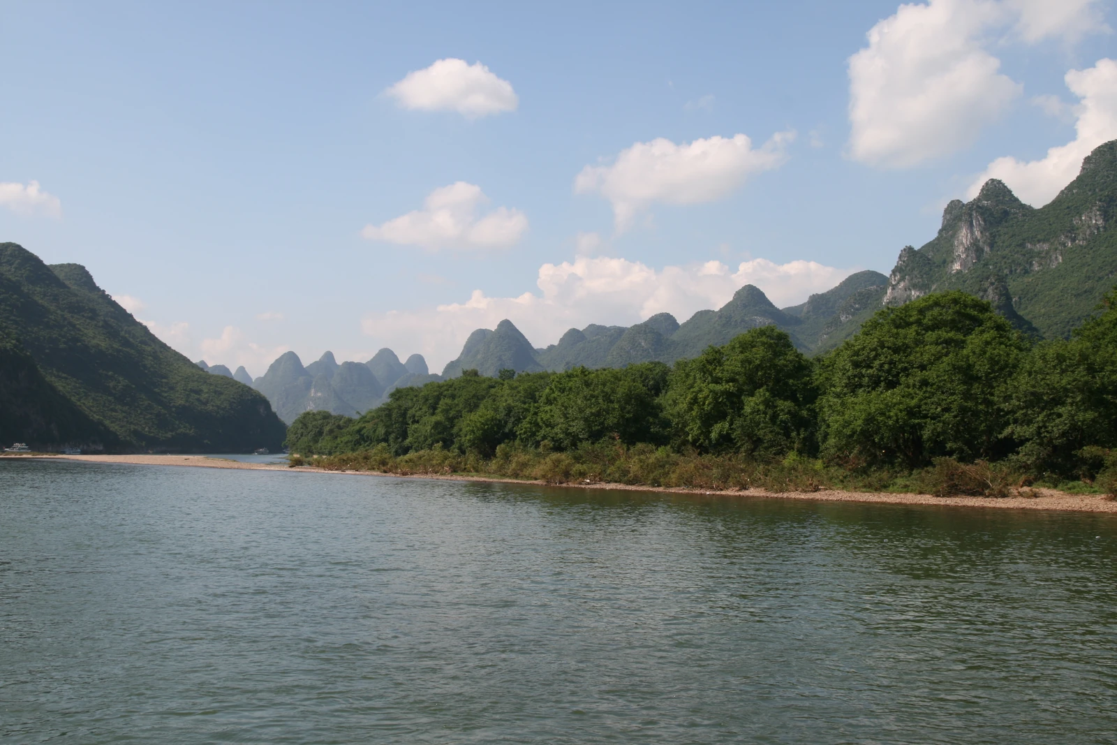
The Li River’s limestone gorge, alluvial ground and changing viewpoints reveal a landscape shaped by water, painting and watershed care.
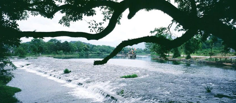
At Lingqu in Xing’an County, overflow weirs, divided channels and curved reaches connect the Xiang and Li river systems.

Lingqu began as a military supply route and later served movement, agriculture and communities through centuries of repair and reuse.
Read
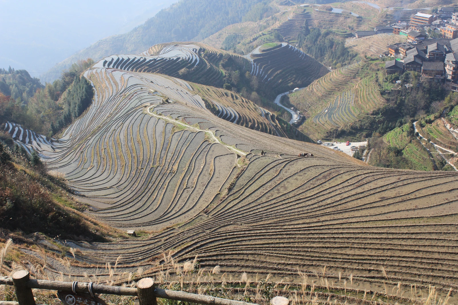
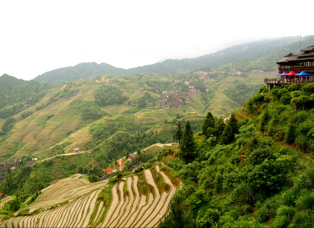
Forest litter, channels and local water management connect Longji’s terraces with the wider working landscape of Longsheng County.
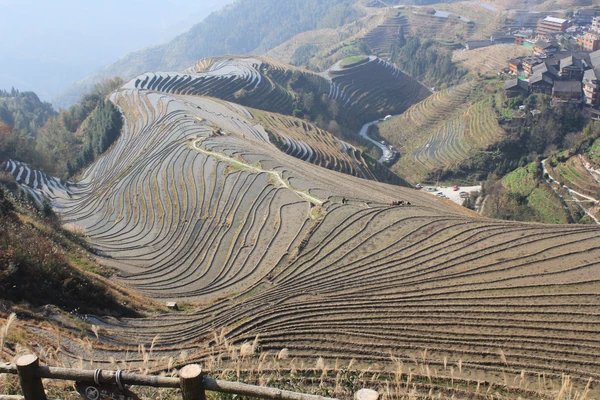
Longji’s seasonal surfaces reflect the farming cycle, from wet soil and young plants to grain, harvest and field maintenance.
Read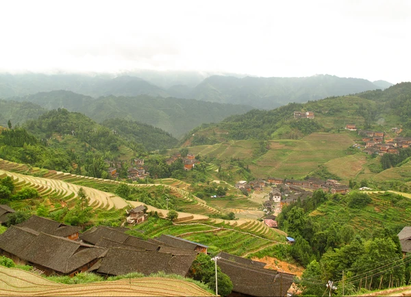
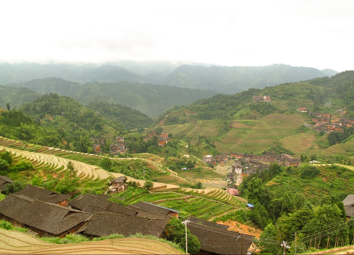
Ping’an, Longji Ancient Zhuang Village and Dazhai are distinct communities within Longji, where residents, houses and changing livelihoods shape the terraced landscape.
Read
Dazhai’s experience reveals why conserving Longji requires viable farming, fair tourism benefits and continuing negotiation.
Read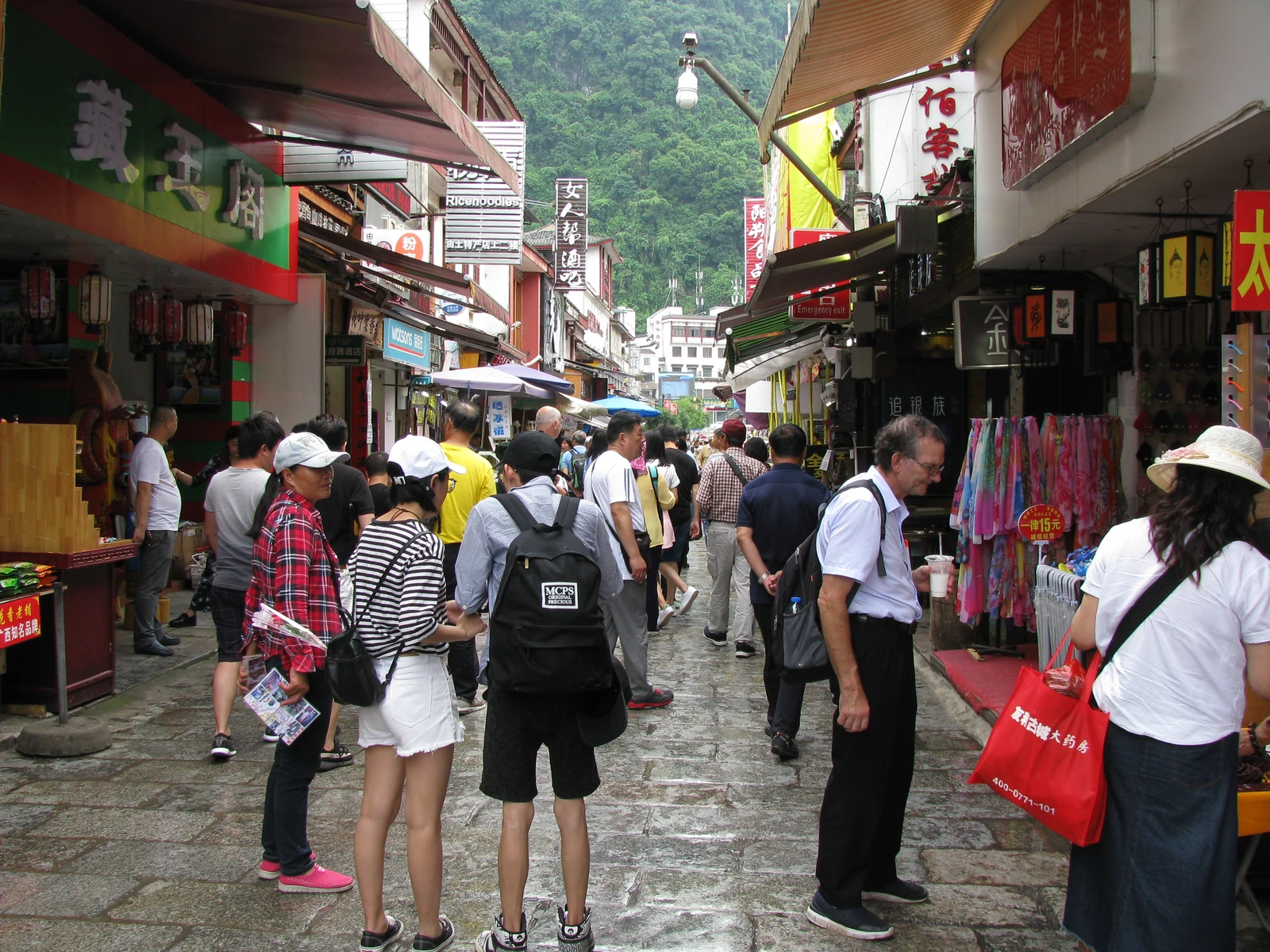
Local memories, language schools and street-vendor research reveal how travel transformed a small-town street into a contested shared space.

A celebrated river image is only the beginning: Xingping also contains residential streets, repair histories and a carefully produced photography economy.
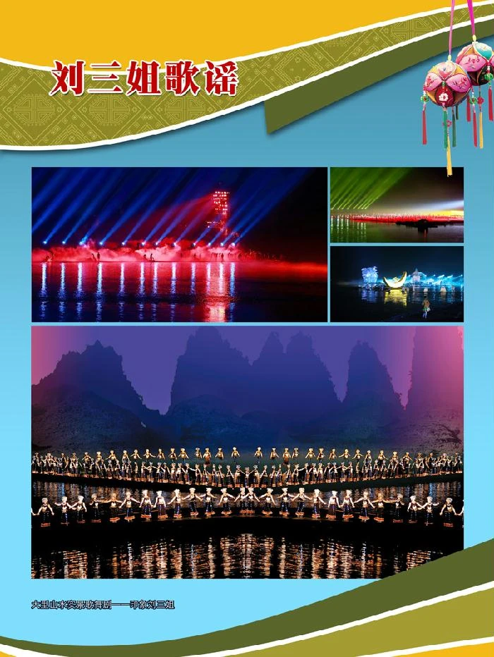
A legendary singer, community song traditions and modern adaptations meet in Yangshuo’s best-known cultural name, while retaining distinct histories.
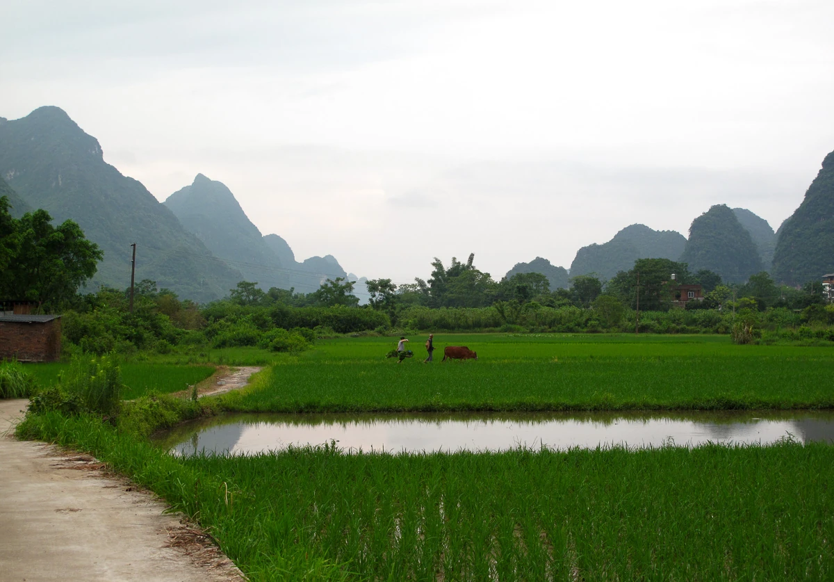
Weirs, fields and village infrastructure reveal the work behind a landscape often described only as peaceful countryside.
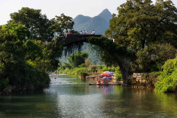
Xiangui, Yulong and Fuli bridges carry distinct histories in their stonework: Song inscriptions, a Qing railing and rebuilding after a flood.
Read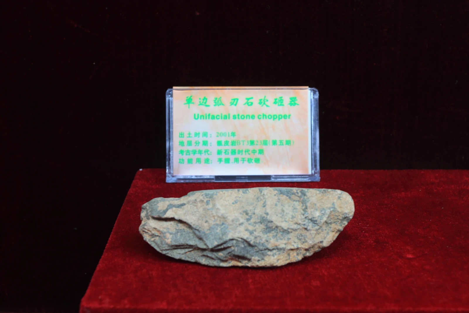
Pottery, tools, animal remains and pollen reveal different parts of a prehistoric world at a cave in southern Guilin.