From the journal

The Yulong Valley at Field Level

Weirs, fields and village infrastructure reveal the work behind a landscape often described only as peaceful countryside.

In the same city · Guilin ↗
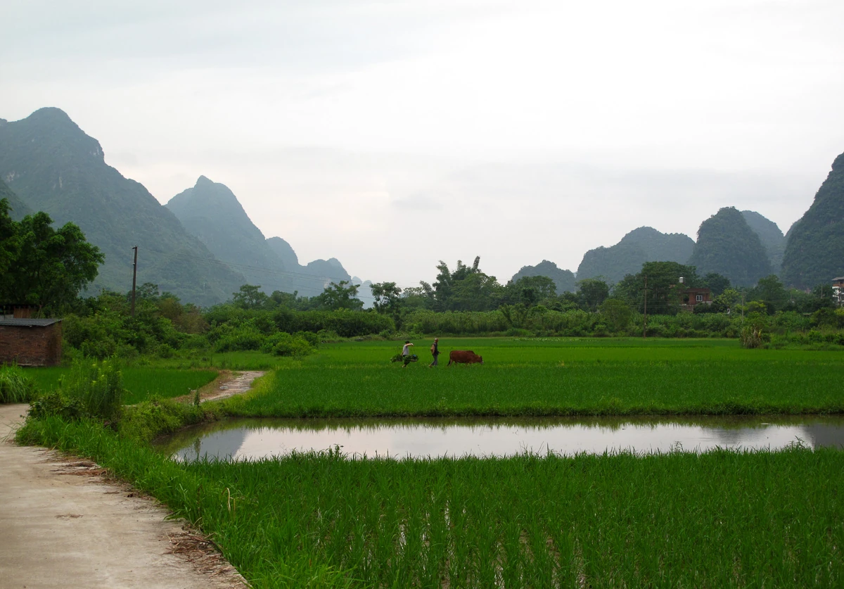
Rice fields, a narrow water channel and distant people lie below Yangshuo’s karst hills.
Cultivated fields in the Yulong valley near Yangshuo, showing the landscape as agricultural space. Source-reported photograph date: 2017-06-27.

Fields and weirs beneath the peaks

The Yulong valley brings village edges, fields, stone crossings and stretches of water shaped by weirs into the foreground of its karst scenery. Paths connect cultivated land and settlements; crossings tie the banks together.

The official scenic-area account explains that impounded stretches behind weirs produce the calm water associated with reflections. The still surface carries a history of intervention. Human arrangements of water and land contribute to the valley's familiar image alongside the peaks rising behind it.
A valley of tributaries and villages

Longcun lies on the lower Jinbao River within the wider Yulong tourism area. A January 2025 account describes farmland, tourism development and the protection of agricultural land in local spatial planning. It distinguishes completed works from facilities then still being designed or approved.

The village brings a tributary into the valley's story. Beyond the main scenic channel, land and water have their own local arrangements. Longcun's plans describe the meeting of agricultural use, village services and an expanding visitor economy at a particular moment in that process.

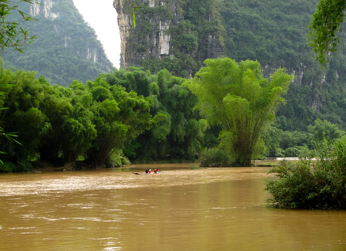
Bamboo and trees edge the muddy Yulong River beneath a karst cliff.
The Yulong River landscape near Yangshuo. Source-reported photograph date: 2017-06-27.

The field as a workplace

A field remains productive space even when it becomes part of a travel image. Its edges, access points and water channels support cultivation. Narrow embankments divide crops and carry practical responsibilities, while work continues beside the scenery.

The boundary of a field can be clear to its users without a fence marking it for strangers. Staying on public paths and seeking permission for access allows the agricultural landscape to retain the uses that give it its form.

Ordinary services behind the quiet view

The Longcun account reports work on sewage collection, separation of rainwater and wastewater, refuse handling and divided responsibilities for waterways and roads. These services connect the village's visible setting with the less visible work of maintenance.

A 2022 county meeting on Yulong-area management also emphasised farmland protection, planning and continuing management. Across these dated accounts, rural beauty and practical services share the same terrain. Waterways, fields and roads depend on care as livelihoods and visitor use change around them.

Crossings and continuity

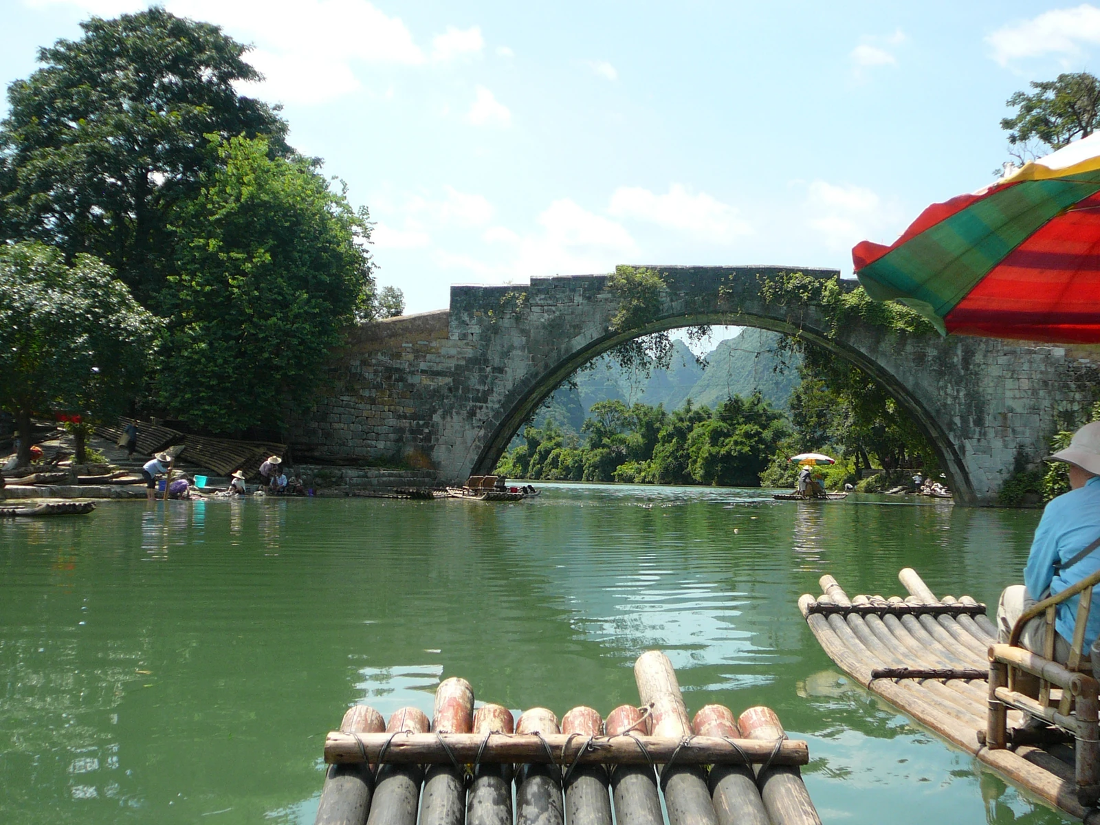
The valley's stone bridges make the relationship between use and care visible. A bridge connects places while carrying a history of construction, damage and repair. Fuli's documented twentieth-century rebuilding renewed an older crossing after a flood.

At valley scale, productive fields, village services and changing livelihoods also coexist. Continuity takes work: maintaining a channel, repairing a crossing or organising ordinary services. The Yulong landscape gathers these activities into a place that people sustain as well as admire.

Yulong Bridge spans green water beyond the bamboo poles of a tourist raft.
Yulong Bridge near Yangshuo, seen from a bamboo raft, with activity along the riverbank. Source-reported photograph date: 2010-07-05.
Fuli Bridge arches over a river with visitors above and bamboo rafts below.
Fuli Bridge near Yangshuo, identified in the photographer’s record; capture date unstated.
Continue exploring · Yulong River Valley ↗
Photo credits and rights
  1. Cultivated fields in the Yulong valley near Yangshuo, showing the landscape as agricultural space. Source-reported photograph date: 2017-06-27.Rutger van der Maar · CC BY 2.0 Photo source ↗ Rights information ↗ Resized and converted to WebP; full composition retained.
  2. The Yulong River landscape near Yangshuo. Source-reported photograph date: 2017-06-27.Rutger van der Maar · CC BY 2.0 Photo source ↗ Rights information ↗ Resized and converted to WebP; full composition retained.
  3. Yulong Bridge near Yangshuo, seen from a bamboo raft, with activity along the riverbank. Source-reported photograph date: 2010-07-05.Brian Sterling · CC BY-SA 2.0 Photo source ↗ Rights information ↗ Resized and converted to WebP; full composition retained.
  4. Fuli Bridge near Yangshuo, identified in the photographer’s record; capture date unstated.Rod Waddington · CC BY-SA 2.0 Photo source ↗ Rights information ↗ Resized and converted to WebP; full composition retained.