From the journal

The Li River as a Moving Landscape

The Li River’s limestone gorge, alluvial ground and changing viewpoints reveal a landscape shaped by water, painting and watershed care.

In the same city · Guilin ↗
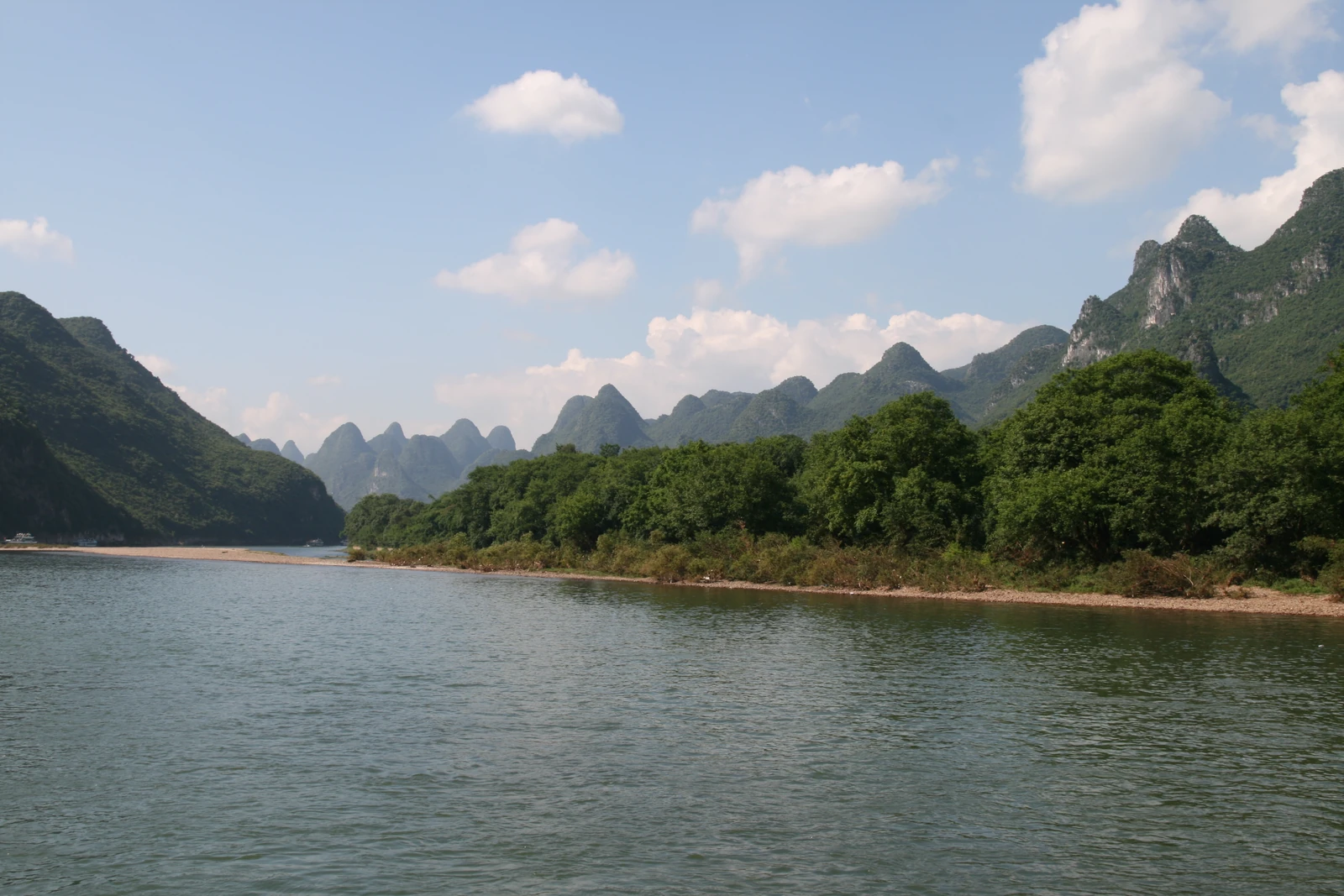
Trees edge a bend of the Li River beneath steep green karst peaks.
A Li River cruise view between Guilin and Yangshuo, photographed on 17 July 2009.

A sequence rather than a single view

The Li River is often introduced through one balanced arrangement of water and peaks. A journey through its corridor offers something different: relationships that keep changing. A foreground hill may hide another; a bend can separate forms that first appeared joined; a broad view may contract into a passage between higher ground. The landscape unfolds as a sequence rather than one definitive frame.

The river corridor includes distinct places and regulated activities. Access follows particular routes and local arrangements. From a lawful viewpoint, the changing relationships between scenes are as revealing as the familiar panorama.

Moored boats glow red on the Xingping riverfront beneath dark karst silhouettes at dusk.
Xingping’s riverfront at dusk, photographed on 15 October 2014. The image was uploaded in 2015.
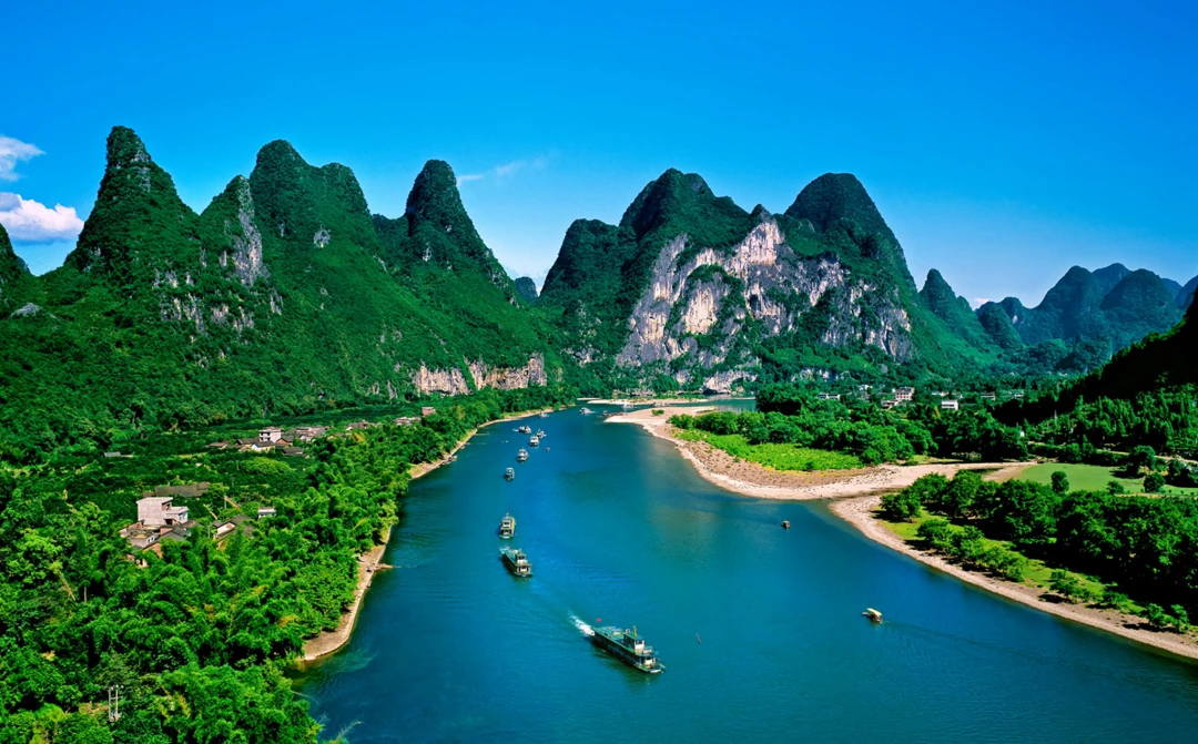
Boats pass a broad bend beneath the pale exposed face of Nine Horses Hill on the Li River.
Nine Horses Hill and the Li River, shown on the scenic authority’s official website. Boats, riverbanks and the exposed cliff face make the river corridor visible at several scales. Capture date unconfirmed.

The river is doing geological work

Tony Waltham’s geomorphological account identifies the Li as the basin’s main drainage route and describes its gorge cutting through clustered limestone terrain. Alluvial deposits form floodplains and terraces beside the river and its tributaries. Water is part of the process that shaped the view, not a reflective surface added afterward.

Steep limestone faces can rise beside comparatively level ground. That contrast helps explain how dramatic relief and usable land appear in close proximity. The flat ground beside the river does not all have the same origin or use; geology and water organize a varied terrain.

A painter’s solution to too many viewpoints

Guilin-born painter Li Shibin approached the river through a long scroll. In a 2015 interview, he discussed a work more than thirteen metres long that brought together places from the Xing’an area through Guilin and Daxu to Xingping and Yangshuo. The report describes houses, fishing and other human activity alongside mountains and water.

The scroll assembles a sequence rather than forcing everything into one stationary perspective. Its foregrounds and distances carry people through the same landscape as the peaks. Settlements and landing places take their place beside the scenery, showing how human activity and the river corridor belong in the same view.

Care across the catchment

A 2021 Guangxi report on Li River conservation discussed quarry remediation and the difficulty of treating ecological problems one project at a time. It quoted a botanical researcher on the limits of local interventions when an entire watershed is involved. The report also set out targets for further work.

A landscape may appear coherent from a boat or riverbank while its care depends on decisions across a much larger area. Water arriving at a viewpoint has travelled through other places, so distant ground can remain functionally connected to the scene.

The landscape is larger than the image

UNESCO’s account of the Guilin component recognizes both its scenic qualities and geological significance, and emphasizes catchment protection. Beauty draws attention to the river; geology and watershed care explain why the relationships behind the view matter.

Continue exploring · Li River in Yangshuo ↗
Photo credits and rights
  1. Landscape seen during a Li River cruise between Guilin and Yangshuo. The exact river reach is unconfirmed. Source-reported photograph date: 2009-07-17.Bernt Rostad · CC BY 2.0 Photo source ↗ Rights information ↗ Resized and converted to WebP; full composition retained.
  2. Xingping’s riverfront at dusk, photographed on 15 October 2014. The image was uploaded in 2015.Carlos Adampol Galindo · CC BY-SA 2.0 Photo source ↗ Rights information ↗ Resized and converted to WebP; full composition retained.
  3. Nine Horses Hill and the Li River, shown on the scenic authority’s official website. Boats, riverbanks and the exposed cliff face make the river corridor visible at several scales. Capture date unconfirmed.Guilin Li River Scenic Area Market Development Office, official scenic-area website · Rights information Photo source ↗ Resized and converted to WebP; full composition retained.