From the journal

Forest, Water and Shared Work in Longji

Forest litter, channels and local water management connect Longji’s terraces with the wider working landscape of Longsheng County.

In the same city · Guilin ↗
A stone footpath runs beside high terrace banks and young rice plants at Longji.
A path and retaining banks within Longji’s cultivated terraces, photographed on 23 June 2017.

Woodland and Water Above the Terraces

A view of Longji is usually framed around the terraces. Woodland belongs inside the story. The agricultural heritage proposal describes a mountain mosaic in which forest and bamboo, villages, cultivated slopes and waterways are connected. Rice fields occupy only part of this arrangement. Dry-land crops and household spaces have different needs, even when they appear close together from a viewing point.

The connected sequence from wooded ground through settlement and field edge to lower channels shows why the terraces depend on the wider catchment. Woodland, settlement and fields share the same catchment, giving conservation a scale beyond individual plots.
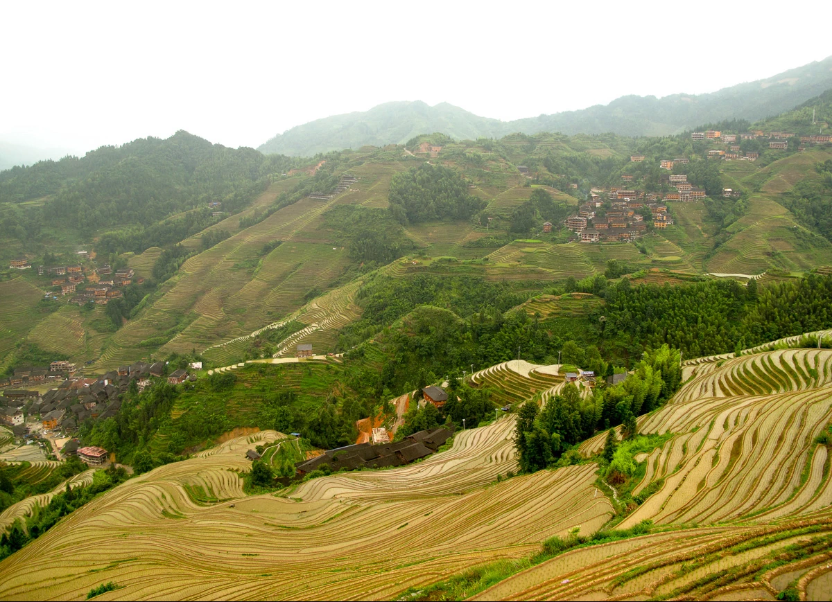
Layered rice terraces cover a Longji valley beneath scattered houses.
A broad view across Longji’s terraced agricultural landscape. Source-reported photograph date: 2017-06-23.

The forest floor is part of the machinery

A 2011 Longji study examined the litter layer beneath five kinds of forest stands. Its measurements showed that fallen leaves and other surface material held water, with different capacities in different stands. The forest therefore extends beyond its canopy silhouette.

FAO’s wider watershed guidance explains the mechanisms: vegetation and soils influence infiltration, runoff and sediment movement, while trees also use and release water. Calling forest a simple reservoir misses those exchanges. Around Longji, woodland forms a living part of the catchment. Roots, soil and ground cover shape water movement alongside the visible tree canopy.

Small levels make a steep mountain usable

The terraces interrupt a slope with surfaces where water can be held and managed. FAO identifies gravity irrigation and modest control structures among the techniques sustaining the southern Chinese rice-terrace heritage system. The engineering is distributed: the effectiveness of one field depends on connections beyond its own boundary.

The level cultivated surface and the drop at its outer edge form small steps in a steep slope. Channels connect those surfaces, and a modest obstruction or gate may regulate a farmer’s water supply. Moving such a feature for a clearer reflection or photograph would alter a working system.

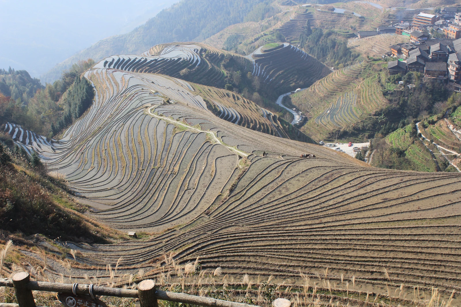
Brown and water-filled Longji terraces curve around hills beneath a village.
Bare and wet terraces at Longji in December, seen from the Nine Dragons and Five Tigers viewpoint on 16 December 2016.

A channel also carries an agreement

A 2022 report by Guangxi's natural-resources department describes Longji practices of protecting woodland through prohibitory inscriptions and allocating water with carved wooden devices.

The physical divider records a share of water, while an agreement gives that allocation meaning among neighbours. Maintaining the object and recognising the rule are connected forms of work on a shared slope.

Water needs on a shared slope

In January 2025, a Guangxi People's Congress report described drought pressures and insufficient water infrastructure in parts of Longji. It discussed proposals made in 2024 for additional storage and water allocation.

Fields, households and fire protection all depend on water. Storage, channels and decisions about distribution remain part of keeping a steep agricultural landscape productive. The terraces' beauty carries the work needed to sustain them through changing weather.

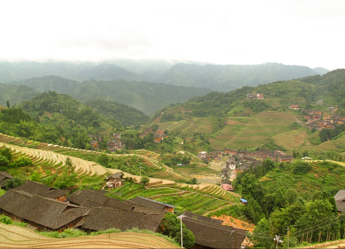
Village roofs fill the foreground beneath curving Longji rice terraces.
Village buildings and fields at Longji, photographed on 23 June 2017.
Continue exploring · Longji Rice Terraces ↗
Photo credits and rights
  1. A path and retaining banks within Longji’s cultivated terraces. The photograph shows the working landscape, not a diagram of its water-distribution system. Source-reported photograph date: 2017-06-23.Rutger van der Maar · CC BY 2.0 Photo source ↗ Rights information ↗ Resized and converted to WebP; full composition retained.
  2. A broad view across Longji’s terraced agricultural landscape. Source-reported photograph date: 2017-06-23.Rutger van der Maar · CC BY 2.0 Photo source ↗ Rights information ↗ Resized and converted to WebP; full composition retained.
  3. Bare and wet terraces at Longji in December, seen from the Nine Dragons and Five Tigers viewpoint on 16 December 2016.Arian Zwegers · CC BY 2.0 Photo source ↗ Rights information ↗ Resized and converted to WebP; full composition retained.
  4. Village buildings and fields at Longji, photographed on 23 June 2017.Rutger van der Maar · CC BY 2.0 Photo source ↗ Rights information ↗ Resized and converted to WebP; full composition retained.