Two Slabs and a Courtroom at the Nanyang Prefectural Office
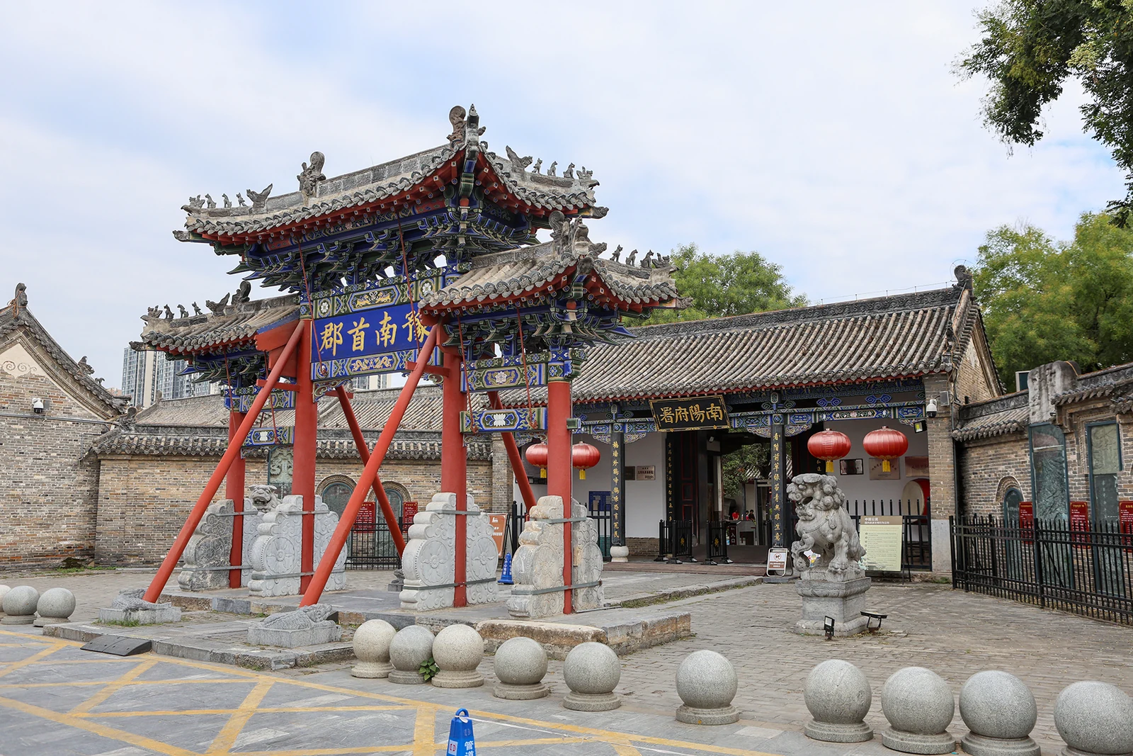
Inside the Nanyang fu office, two mismatched stone slabs in the floor of the main hall record how a Qing court was arranged.
The city government describes Nanyang as lying in the south-west of Henan at the meeting point of Henan, Hubei and Shaanxi, named for its position south of the Funiu Mountains and north of the Han River, with mountains on three sides and open ground in the south, a country it calls the Nanyang basin. It lists among its titles the national civilised city, national sanitary city, outstanding tourist city of China and national forest city. What a visitor meets instead of slogans is a working set of places: a Qing-era prefectural hall where cases were judged, a railway of shops where jade is carved, a museum of fossil eggs, and a control room where the water for Beijing is watched on a single screen. The writing below takes those rooms one at a time, and only says what can be checked.
Inside the Nanyang fu office, two mismatched stone slabs in the floor of the main hall record how a Qing court was arranged.
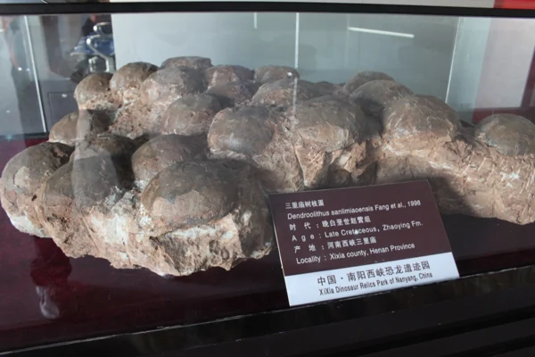
The dinosaur park near Xixia shows fossil eggs twice: in cases, and inside a gallery cut through the ground they were buried in.
Read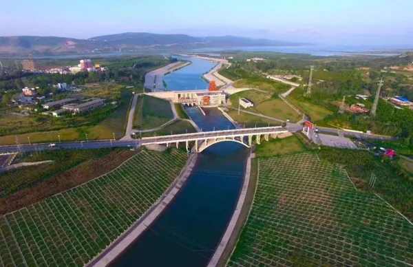
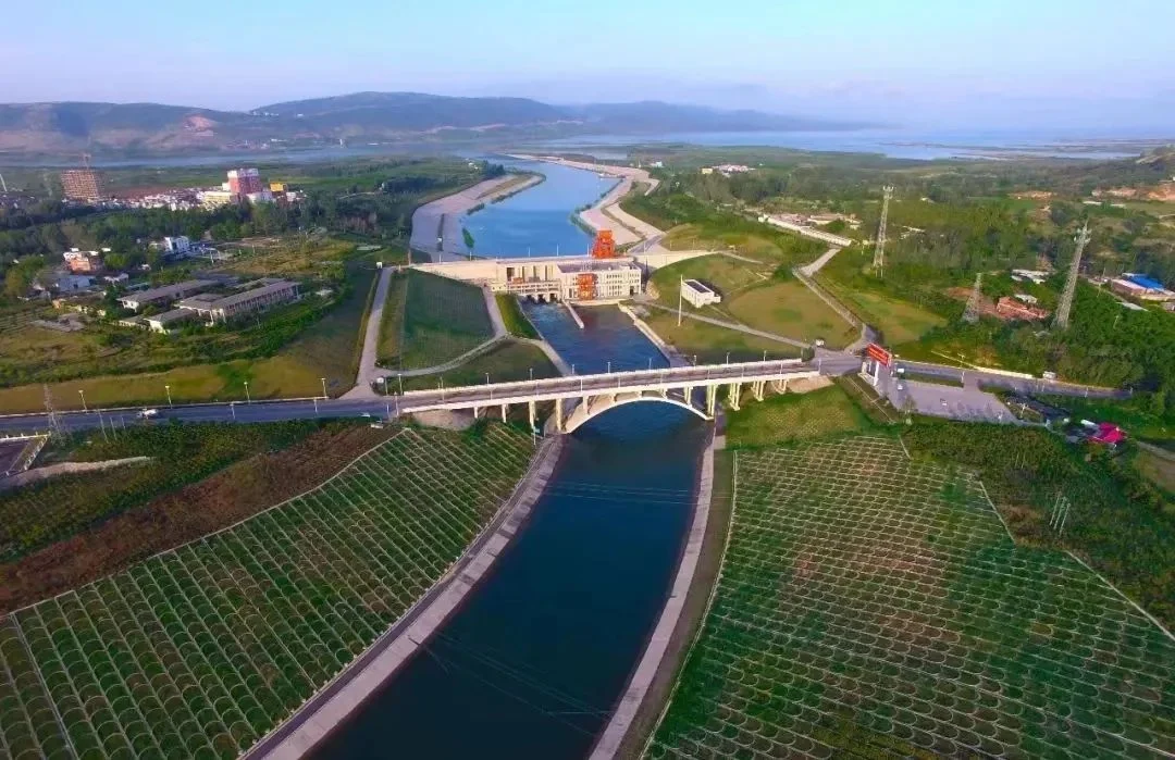
The Taocha headworks is less a monument than a control room, and the water quality figures it produces change month by month.
Read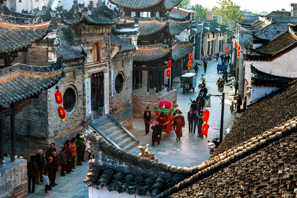
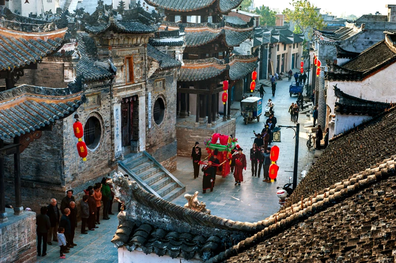
Jingziguan was a shipping town, and the border stone in its main street is still the object of a step.
ReadA Ming-Qing prefectural compound on Minzhu Street, where two mismatched stone slabs still mark where plaintiffs and defendants stood.
A dinosaur park whose centrepiece is not a model but a tunnel cut through the original burial of fossil eggs.
Where the water of the Dan River turns north, watched from a control room whose screen unifies every sensor on the shore.
A Qing street of five li shared by three provinces, with a three-sided boundary stone in the middle of the paving.
A merchant guild hall built over 136 years by Shanxi and Shaanxi traders, and remembered in a stele inside the magistrate’s office.
The jade that gave Nanyang its name, and the rows of small workshops where it is still cut.