The gorge cut through marble
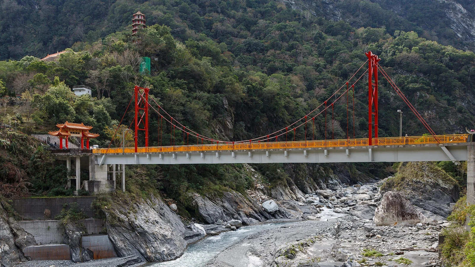
The Liwu River has cut a canyon through marble in eastern Taiwan. Taroko is both a national park and a Truku homeland, with roads shaped by the challenges of the terrain.
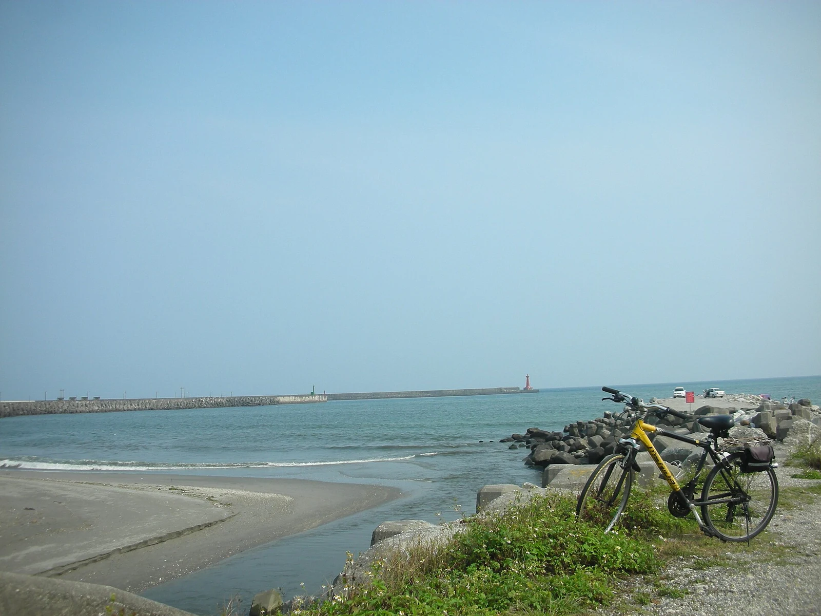
Hualien stretches along Taiwan’s eastern coast, between the Pacific, the coastal mountains and the East Rift Valley. The Central Mountain Range rises immediately behind the coastal plain, and the county holds Taroko gorge, the Qingshui cliffs and a string of Amis, Truku and Bunun communities. Hualien City is the transport hub, with the railway, the port and the road up to the gorge. Earthquakes and typhoons are part of life here, and the landscape is still being built.
The Liwu River has cut a canyon through marble in eastern Taiwan. Taroko is both a national park and a Truku homeland, with roads shaped by the challenges of the terrain.

The Suhua Highway passes below Qingshui Mountain, whose summit is 2,408 metres above sea level. The coastal cliff has an elevation difference of about 800 metres.
Read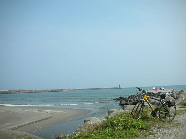
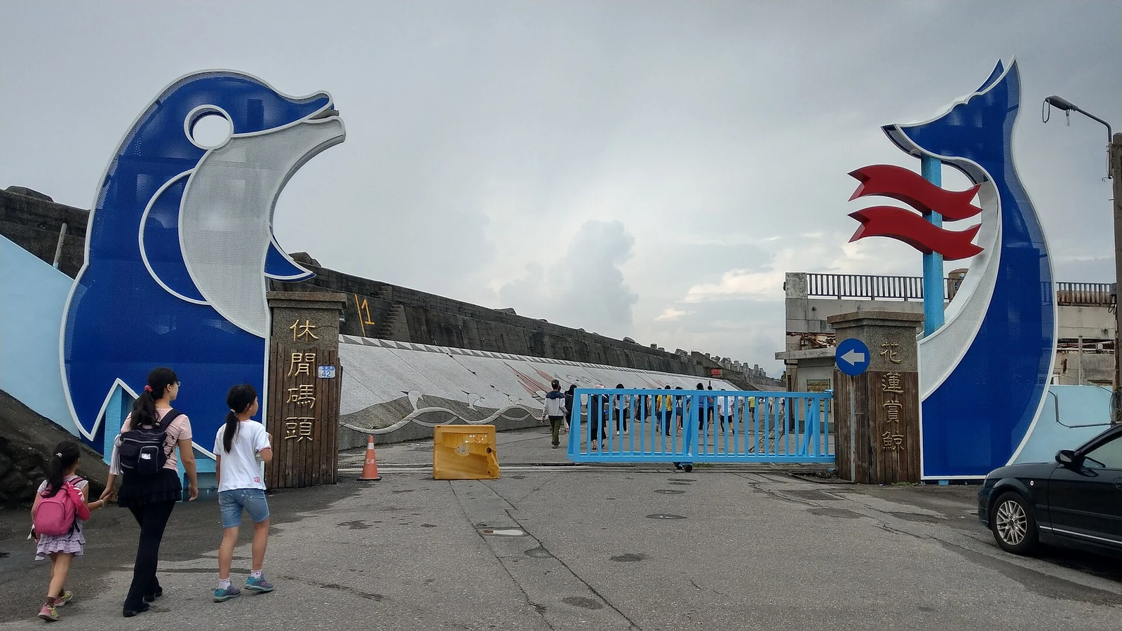
Hualien City is small and rainy, with mountains and sea close at hand. Its night market and stone workshops offer a glimpse of life across the county.
Read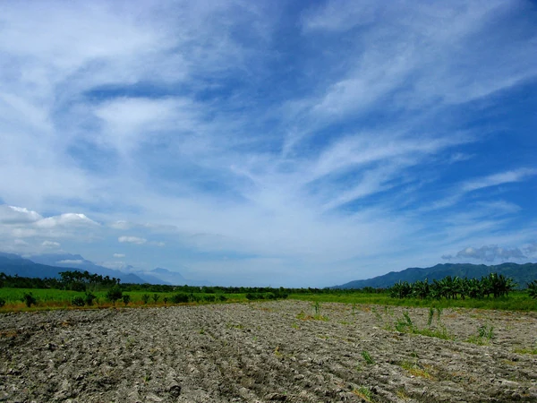
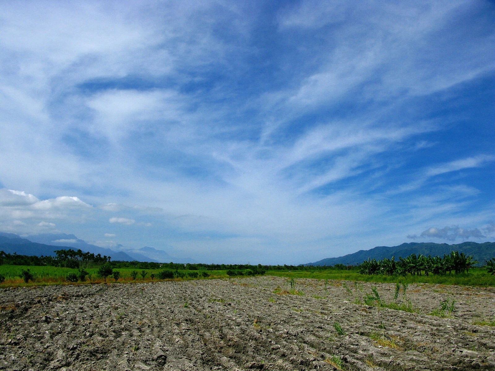
The East Rift Valley stretches for 180 kilometres between two mountain ranges, with rice fields and villages linked by the Huadong Highway and railway.
ReadA marble canyon cut by the Liwu River, with trails, shrines and cliffs inside a 92,000-hectare national park.
Twenty-one kilometres of coastal cliff where the Central Mountain Range falls directly into the Pacific.
The county seat and port at the mouth of the Hualien River, with a night market, a stone museum and a harbour.
A 180-kilometre trough between two mountain ranges, watered by three rivers and farmed for rice.