Xiling is the easternmost of the Yangtze’s Three Gorges and is commonly described as the longest. It runs towards Nanjin Pass at Yichang through reaches with their own names and rock formations. The cliffs organise the river into a sequence of narrowed views, rather than one uninterrupted wall. Its position is at the eastern end of the Three Gorges region, not the western end.
From the journal
Xiling Gorge on Both Sides of the Dam
The easternmost of the Three Gorges extends through Yichang’s river country, with different water landscapes above and below the Sandouping dam.
In the same city · Yichang ↗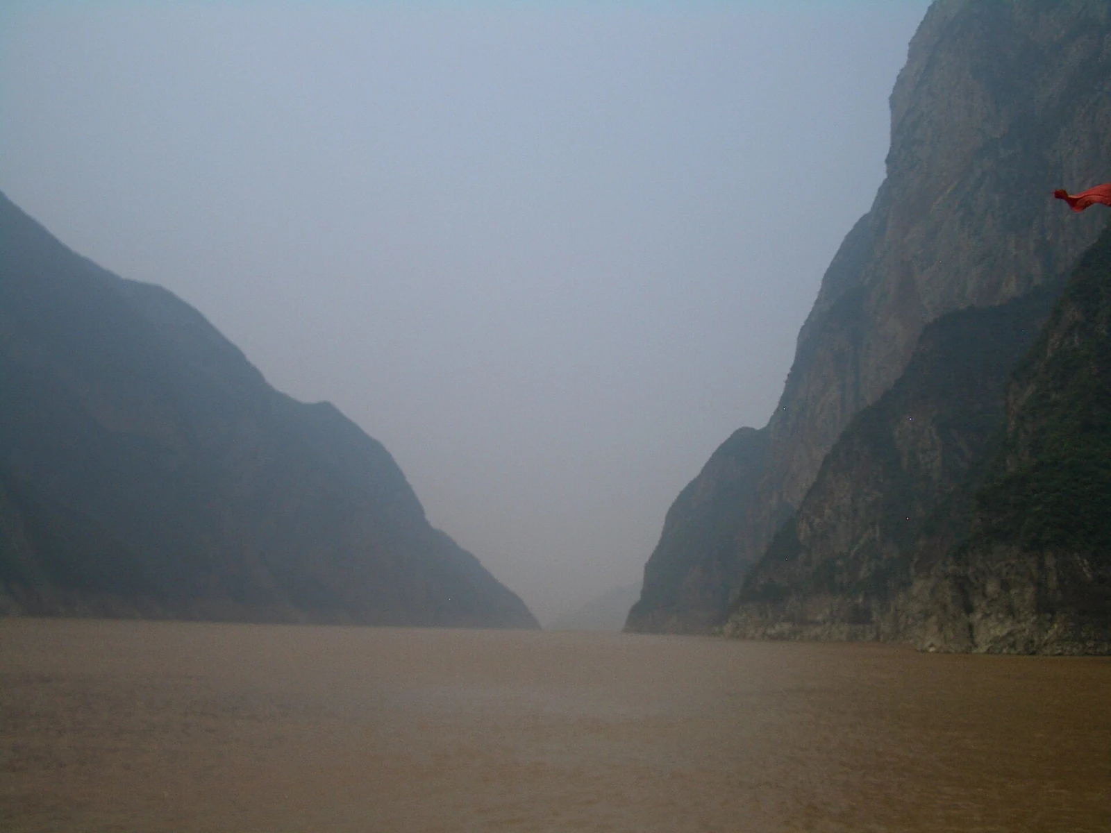
The easternmost gorge
A passage once read by boatmen
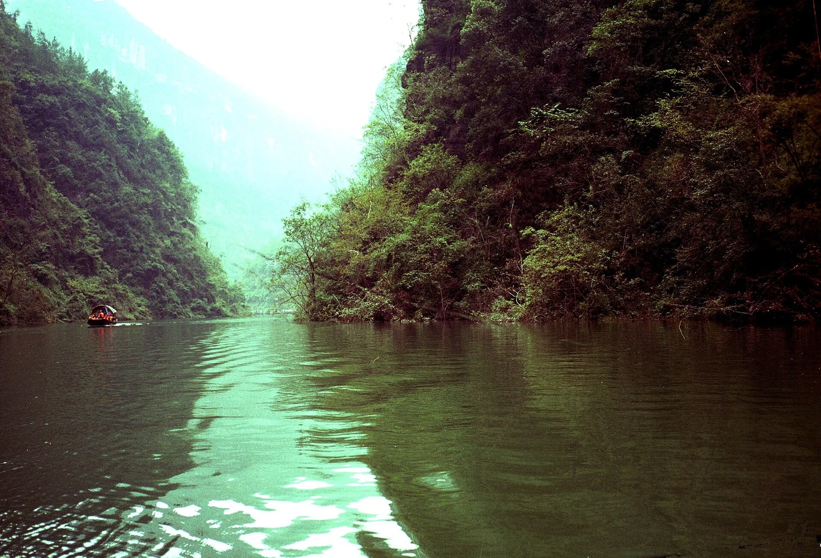
Before the great dam projects, shoals, currents and rapids made parts of this passage difficult to navigate. Named rocks and reaches helped people describe and remember the river. Those names retain older ways of reading the channel, even where the water has changed. A boatman’s dangerous reach and a modern visitor’s cliff panorama are different encounters with the same valley.
Two dams, different reaches
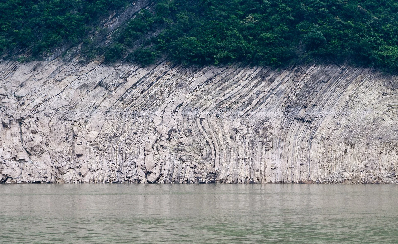
The Three Gorges Dam stands at Sandouping within the Xiling reach, while Gezhouba lies below its eastern exit. Upstream of Sandouping stretches the main Three Gorges reservoir; downstream, another reach continues towards Gezhouba. Each structure influences a different water landscape. Locating the cliffs and channels in relation to both dams restores the gorge’s sequence and the variety still held within one familiar name.