Hongshixia is the shortest walk most visitors will remember from Yuntai Mountain, and UNESCO's own description of the geopark explains what you are looking at. Over 2.6 million years, surface water worked along two sets of fractures in red quartz sandstone, cutting a zigzag valley about 1.5 kilometres long and more than 60 metres deep. The red walls are the oxidation of iron-bearing minerals in the rock itself, so the colour belongs to the stone rather than to any lighting effect. Above the valley, the cliffs of Yuntaishan, built of quartz sandstone and thick carbonate beds, reach up to 600 metres. UNESCO lists Hongshixia Valley among the park's prominent geosites, together with the Dragon Ridge Great Wall, a limestone ridge 11.5 kilometres long and 100 to 200 metres high, and Whale Bay. The valley floor carries the walk; the walls carry the age.
From the journal
Red Rock, Green Water: A Walking Day in Yuntai Mountain
In Xiuwu County above Jiaozuo, a valley of red quartz sandstone carries walking paths and water, and the whole range is catalogued as a UNESCO Global Geopark.
In the same city · Jiaozuo ↗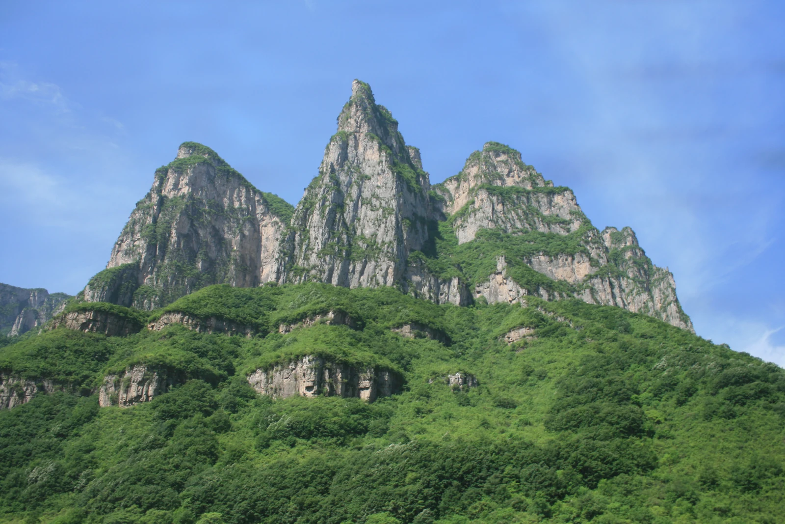
Why the valley is red and the path is green
Eleven names on one range
The Jiaozuo municipal government sets out the scenic area as 240 square kilometres and gives the visitor a working list of eleven named places inside it: Hongshixia Valley, Tanpuxia, Quanpuxia, Qinglongxia, Fenglinxia, Zifang Lake, Zhuyufeng, Diecaidong, Mihougu, Baijiayan and Wanshansi. The list mixes water with worship and with primates - a monk's hall, a pavilion, a cave, a valley of macaques - which matches how the mountain is actually walked. The same government page classifies the area as a global geopark, a national AAAAA tourist scenic area and a national scenic and historic interest area, and records one more piece of history: on 27 August 2007 Yuntai Mountain was formally twinned with the Grand Canyon National Park in the United States as a sister park.
The name, and who wrote it down
UNESCO's geopark entry adds a small historical note that changes how the mountain's name reads. The name Yuntaishan first appears, the page says, in a stone tablet inscription from the reign of the Kangxi Emperor in the Qing dynasty, and the word for cloud refers to the fog and mist that habitually hold the ridges. The geopark also records the religious and cultural layers that run through it: Confucian, Buddhist and Taoist sites including Jiaying Pass, Miaoleli Pagoda, Tianning Temple and Sansheng Pagoda, all designated national key cultural relic protection units, alongside Northern Wei cliff carvings and the Fu City ruins. Heritage is not treated as separate from landscape there. On the UNESCO page, the two things named as inscribed intangible practices in the park are taijiquan and paper cutting.