Jingpo Lake: where lava blocked a river
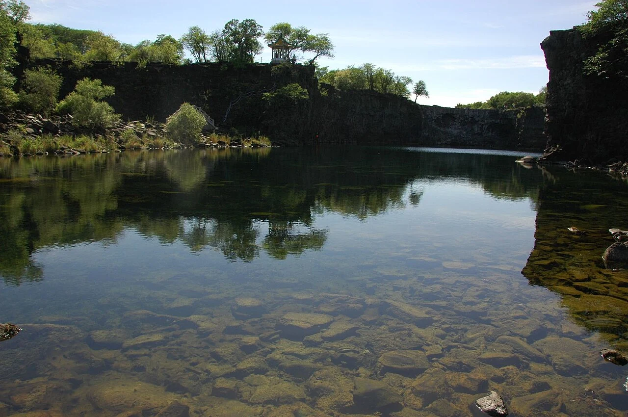
A volcanic field, a river dammed by lava and a lake’s fishing traditions form three distinct layers of the Jingpo landscape.
Mudanjiang is a regional city between volcanic lake country and the eastern borderlands. The river and surrounding hills hold traces of geological change, while railway-era buildings and the remains of the Bohai capital record very different chapters of settlement. The city’s character comes from this overlap of movement, deep time and modern industry.
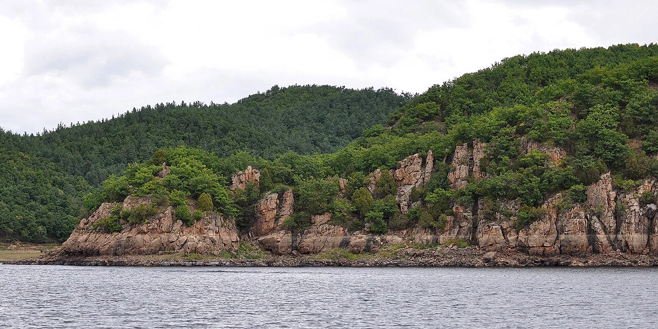
A volcanic field, a river dammed by lava and a lake’s fishing traditions form three distinct layers of the Jingpo landscape.
A 2023 winter report measured the icefall and described the hot spring water that remains open beneath it.
Read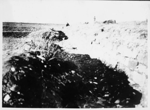
The outer city, imperial city and palace city offer a way to read the capital’s nested plan.
ReadA conservation plan locates the high platform on the palace city’s central axis and explains how to read its position.
Read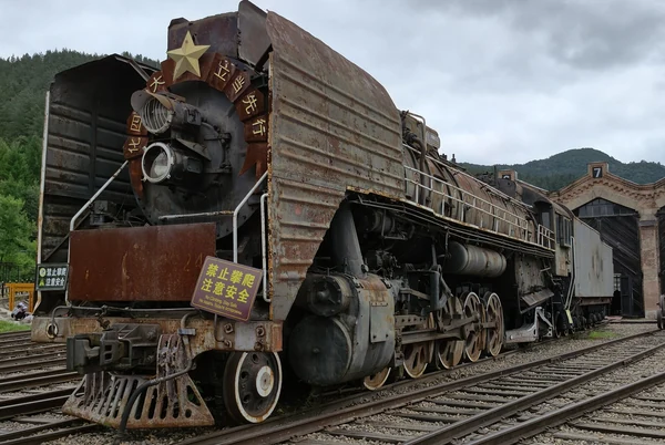
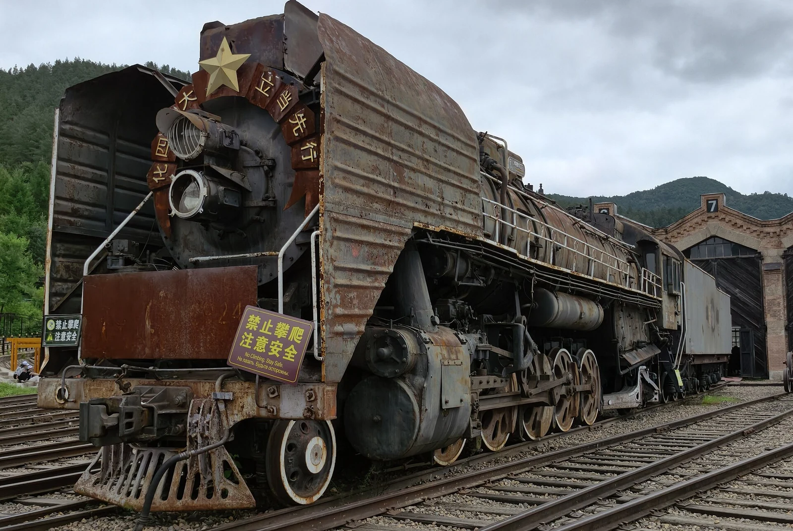
Fifteen brick bays and a central turntable made Hengdaohezi’s fan-shaped engine house a working railway machine.
Read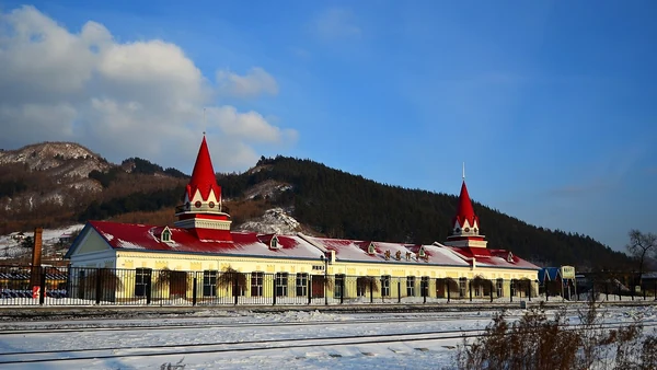
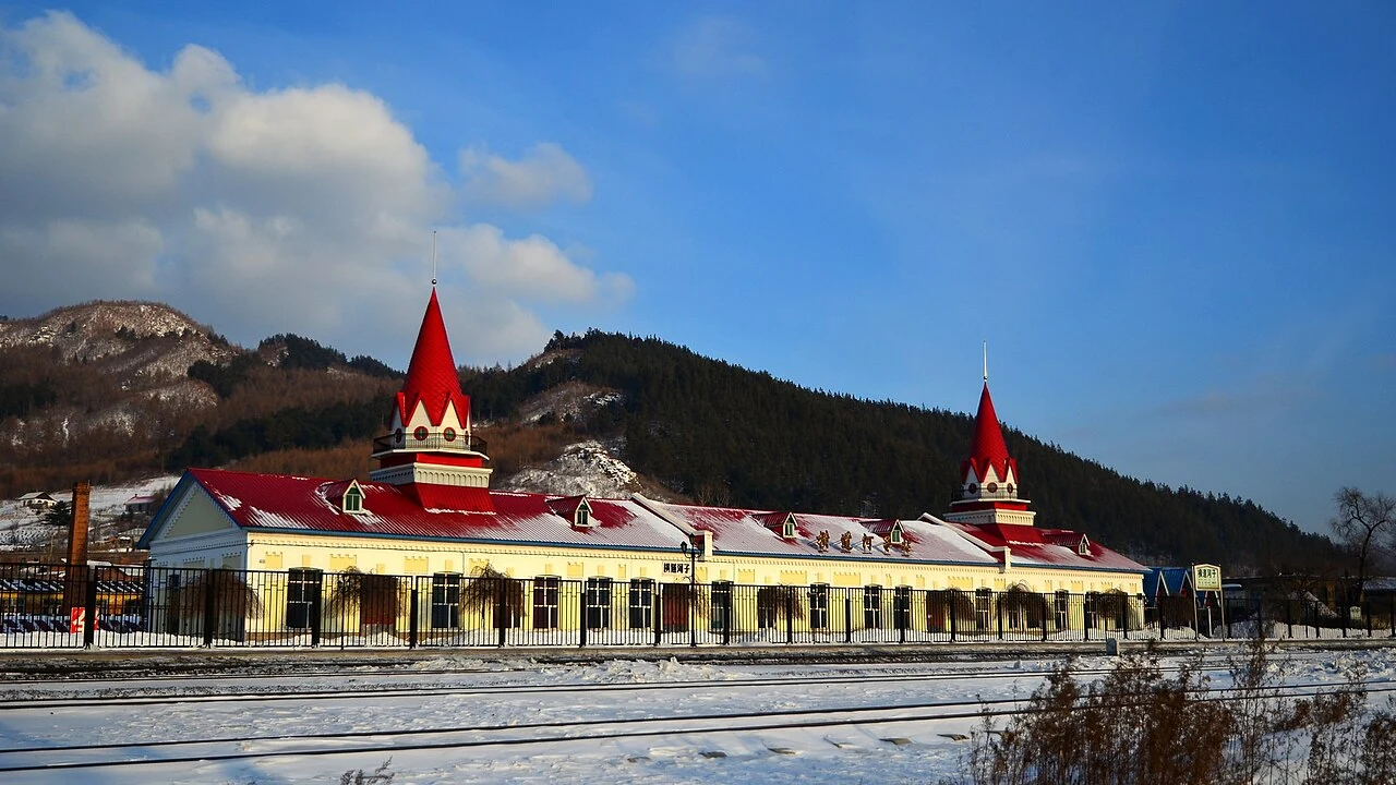
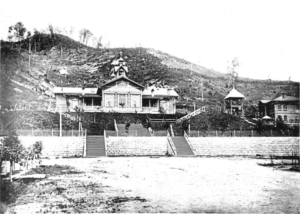
A railway settlement left a street of Russian-style homes, a wooden Orthodox church and a fan-shaped locomotive depot, each tied to a different part of town life.
Read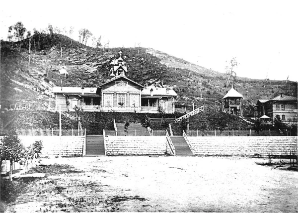
The depot and church were repaired using a stated principle of retaining original fabric; later street and utility work made conservation part of the town’s infrastructure.
ReadA 1913 railway official’s residence survives as a distinctive Russian eclectic building whose rooms passed through successive civic uses.
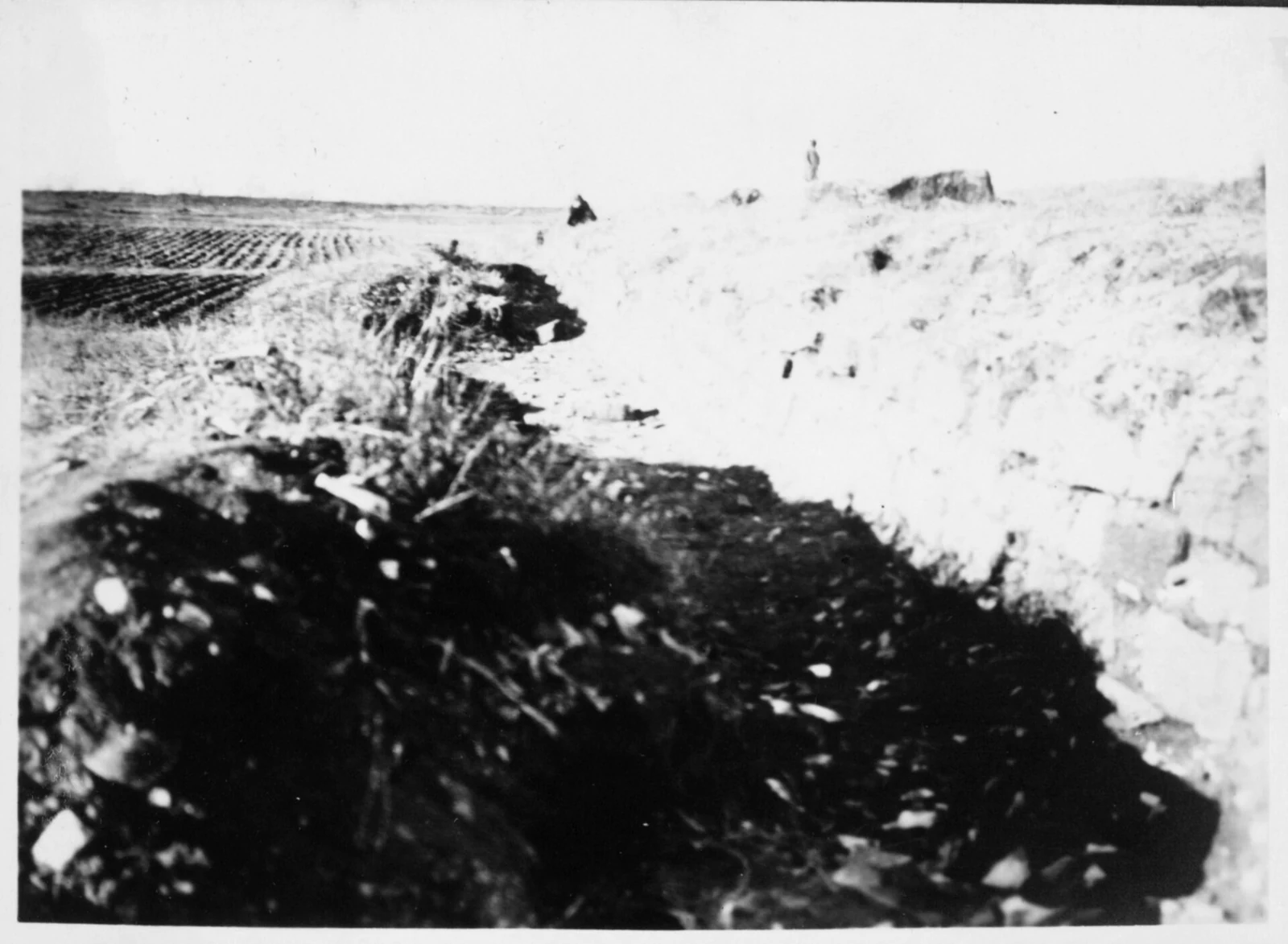
ReadThe open Xunshan site is one part of a wider fortification group, interpreted through occupation, resistance and remembrance.
ReadAfter natural-forest commercial logging ended in 2014, Muling’s forest bureau expanded protection, sustainable-management certification and non-timber forest products.
ReadThe outer city, imperial city and palace city offer a way to read the capital’s nested plan.
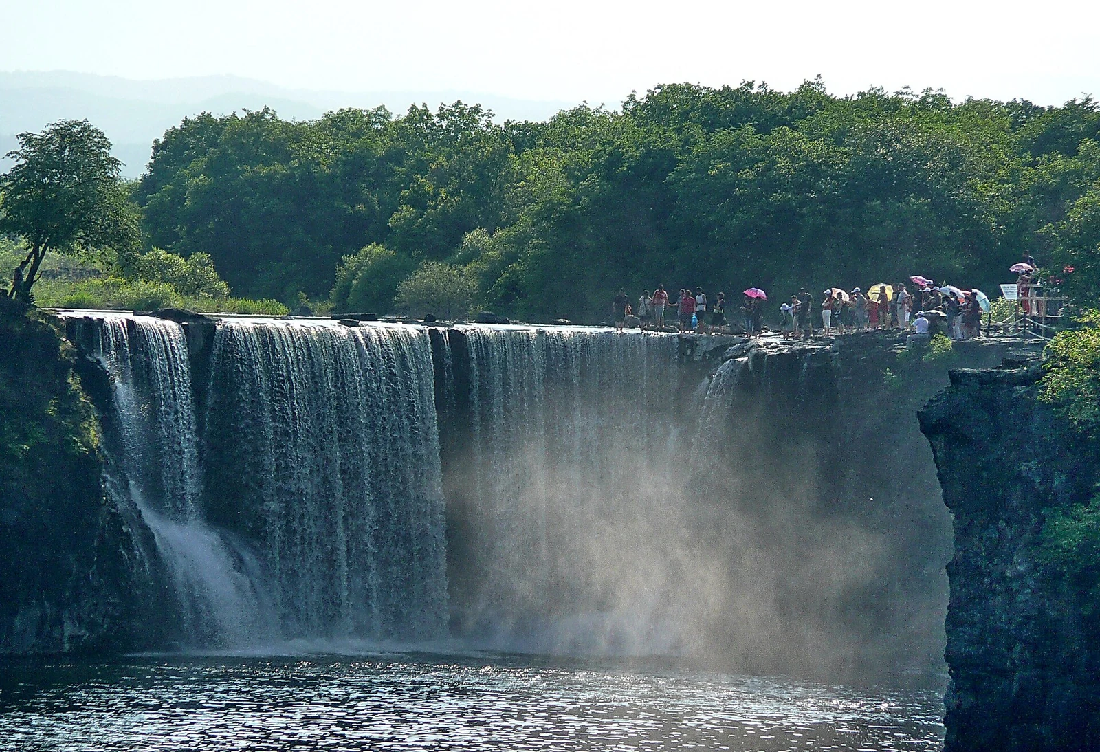
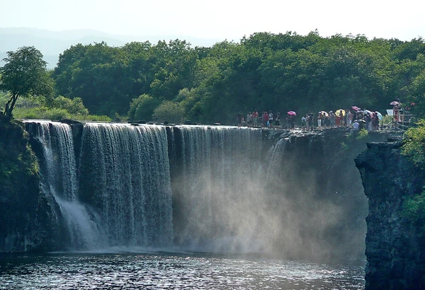
A waterfall at Jingpo Lake, where water passes over volcanic terrain.
The Xunshan fortress site belongs to a broader group of military works interpreted through occupation, resistance and remembrance.
Railway context connects the town’s buildings, but each structure has its own chronology and identity.
Dark doors, tracks and a turntable reveal a railway building designed around the handling of locomotives.
Jingpo Lake occupies a volcanic basin formed when lava obstructed the Mudanjiang River and changed the path of water.
A forestry report describes a transition toward ecological protection and restoration.
A railway residence became accommodation and later a government guesthouse as its role in the city changed.