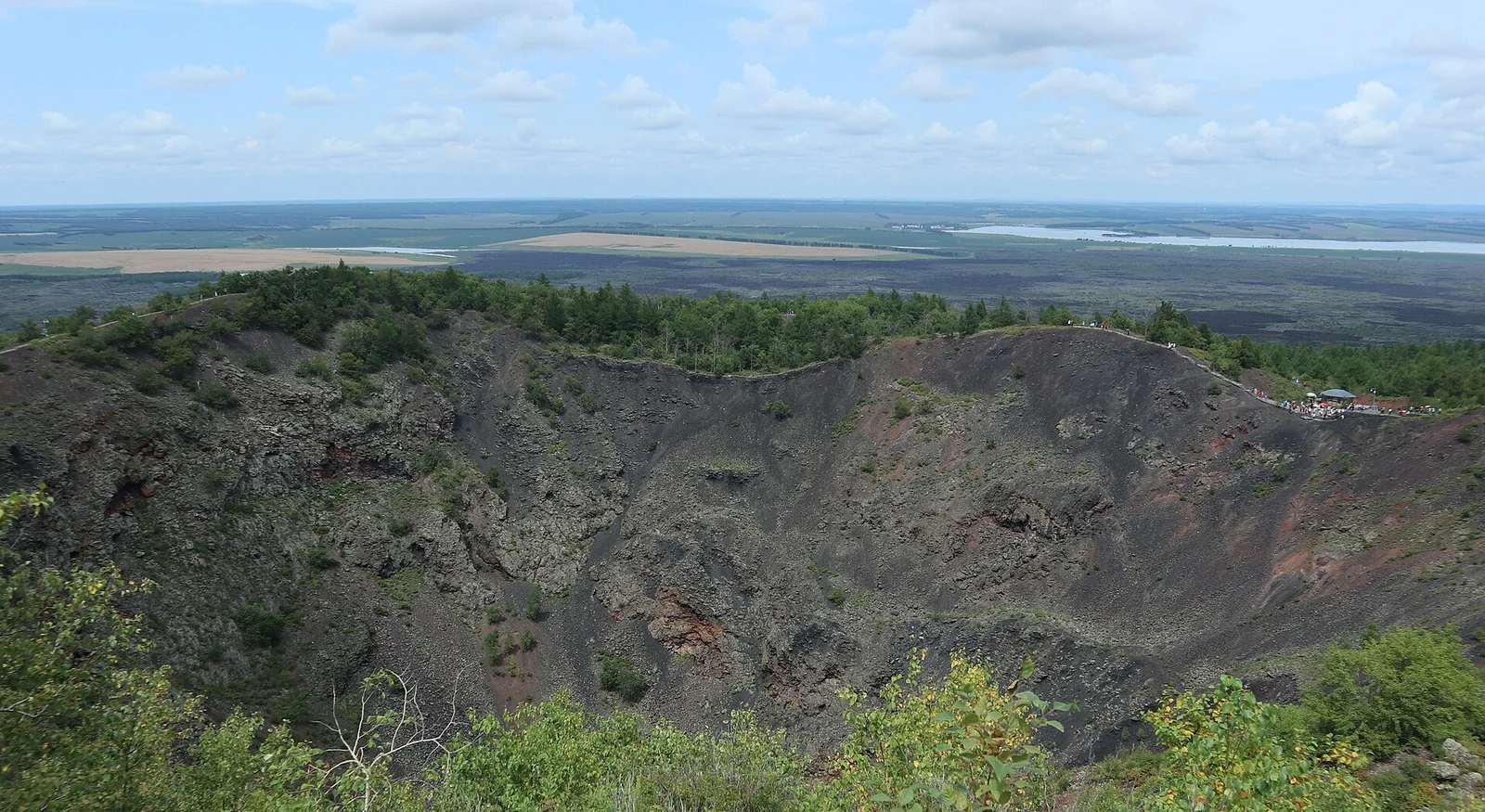
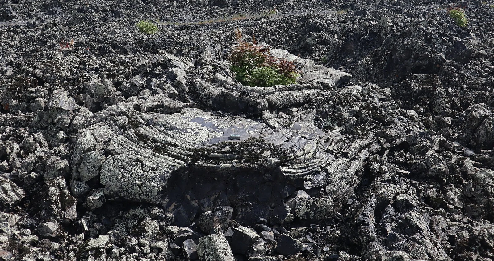
Laoheishan and Huoshaoshan rise from a much older volcanic landscape. Wudalianchi contains fourteen cinder cones on a lava plateau covering about 500 square kilometres. Its youngest cones formed during eruptions in 1720–21. Fissures near their bases released lava across roughly 65 square kilometres, leaving both smooth, ropy surfaces and rough, broken flows. The dark ground around the cones is part of the eruption's footprint.
From the journal
Wudalianchi: Lava Fields That Reordered the Water
At Wudalianchi, eruptions built two cones and dammed a chain of five lakes. Lava surfaces and Manchu-language observation reports preserve different records of the same changing landscape.
In the same city · Heihe ↗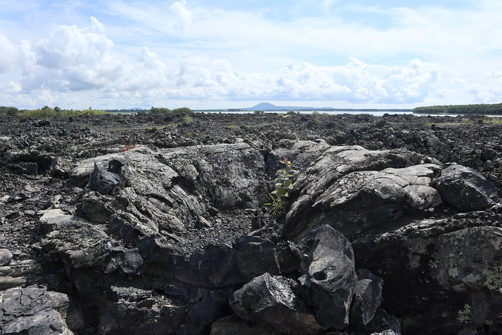
Two young cones in an older volcanic field
When lava redirected the water
The five connected lakes give Wudalianchi its name. Lava blocked drainage along the eastern and northern margins of the new flows, and water collected behind the barriers. Cone, lava field and lake shore are therefore parts of one event: an eruption changed the routes available to water. The Smithsonian's volcanic record also lists renewed eruptive activity in 1776, after the lake-forming episode.
An eruption recorded in Manchu archives
The historical record preserves observations as well as landforms. A study by Chen Hongzhou and Wu Xuejuan examined Manchu-language documents from the Heilongjiang general's office. They recorded eruption dates, changing conditions, lake formation and the people sent to observe the activity. Those documents helped researchers refine the older 1719–21 chronology to 1720–21. Here a volcanic landscape can be followed through two records: the rock left on the ground and reports written while the mountains were forming.