Wuying Red Pine Forest lies in Yichun’s Xiaoxing’anling region. The name refers to Korean pine, Pinus koraiensis, a long-lived conifer that grows here with broad-leaved trees rather than as a uniform plantation. The city describes its forest landscape as a Korean-pine and broadleaf mixed forest, with substantial natural stands preserved around Wuying. That mixture matters: the place is not simply a collection of tall pines, but a forest community whose canopy, understory and changing light are shaped by several kinds of tree.
From the journal
Red Pine in Wuying: A Forest Measured in Generations
Wuying’s red-pine forest is part of the Xiaoxing’anling’s mixed woodland, where Korean pine grows alongside broad-leaved trees. Its protected stands and walking routes offer a way to read forestry history through a living ecosystem.
In the same city · Yichun, Heilongjiang ↗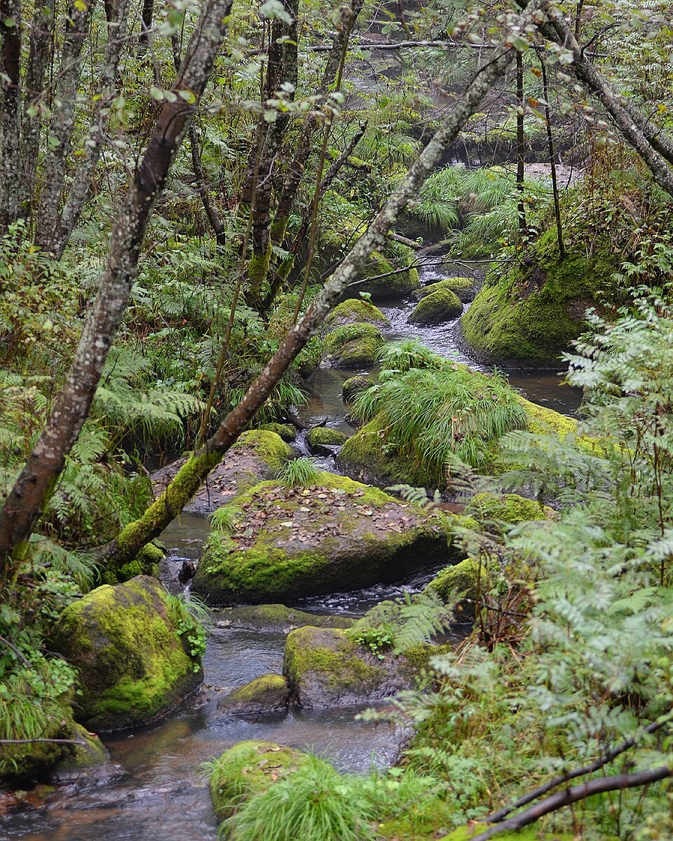
A pine within a mixed forest
Protection and forestry history
Yichun’s modern history is closely connected with timber production. In the decades after 1948, forestry development brought roads, settlements and industrial work into the region. The survival of large natural red-pine stands has therefore become part of a later conservation story: managing a forest used for production while retaining the ecological character of old mixed woodland. Municipal materials identify Wuying as one of the city’s earliest nationally rated scenic areas, designated in 2002, and give its area as 14,141 hectares. These labels describe a large managed landscape, not a single grove that can be crossed in one glance.
Following a route through the trees
A 2025 walking-event report describes a 17-kilometre route linking places including Songxiang Bridge, Forest Bathing Ground, Heixiazi Ridge and Tianchi Lake. The sequence helps visitors understand the area as a connected forest landscape, with water, slopes and stands encountered along the way. It also gives the protected forest a human scale: paths make particular sections accessible, while the larger woodland extends well beyond any one viewpoint. The route is useful for orientation, but the more durable subject is the relationship between a native tree community and the institutions that now protect and interpret it.