How a Poem Put Delingha on the Literary Map
A poem written while passing through Delingha became a lasting part of the city’s public memory, now gathered at a riverside exhibition hall.
Qaidam’s stories change with the material under examination. Salt crystallizes at Qarhan and Chaka; archaeological objects emerge from Dulan’s Reshui tombs; instruments at Lenghu gather light. Delingha’s lakes and poems lead into different readings of the basin. The oil town, the desert landforms and the observatory each keep their own dates, working processes and questions.
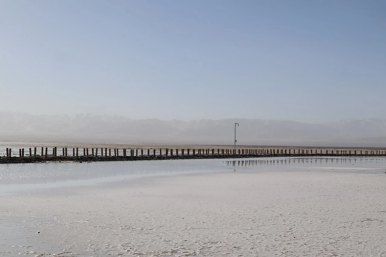
A poem written while passing through Delingha became a lasting part of the city’s public memory, now gathered at a riverside exhibition hall.
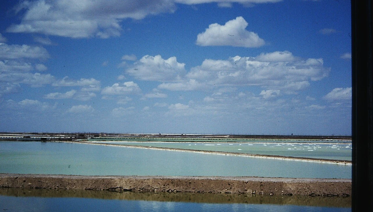
Adjacent lakes in Delingha differ in salinity and support a varied wetland setting for birds.
Read
The Keluke–Tuosu reserve is part of a migratory-bird network, and its monitoring records show how field observation works in a desert wetland.
Read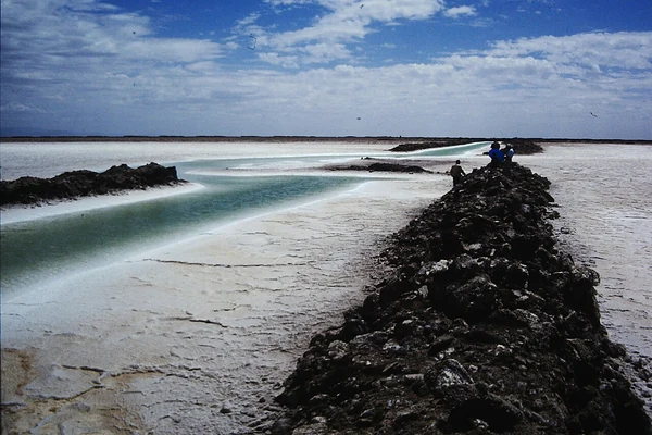
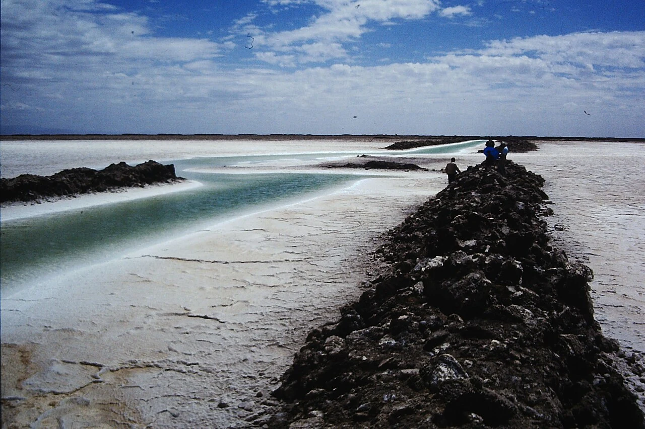
At Qarhan Salt Lake, visible salt forms sit beside an industrial process that sends brine through concentration, purification and crystallization.
Read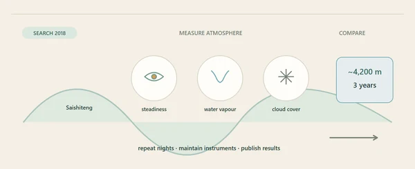
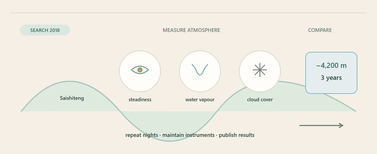
Three years of measurements on Saishiteng Mountain showed why an isolated desert ridge could serve an observatory.
Read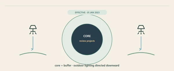
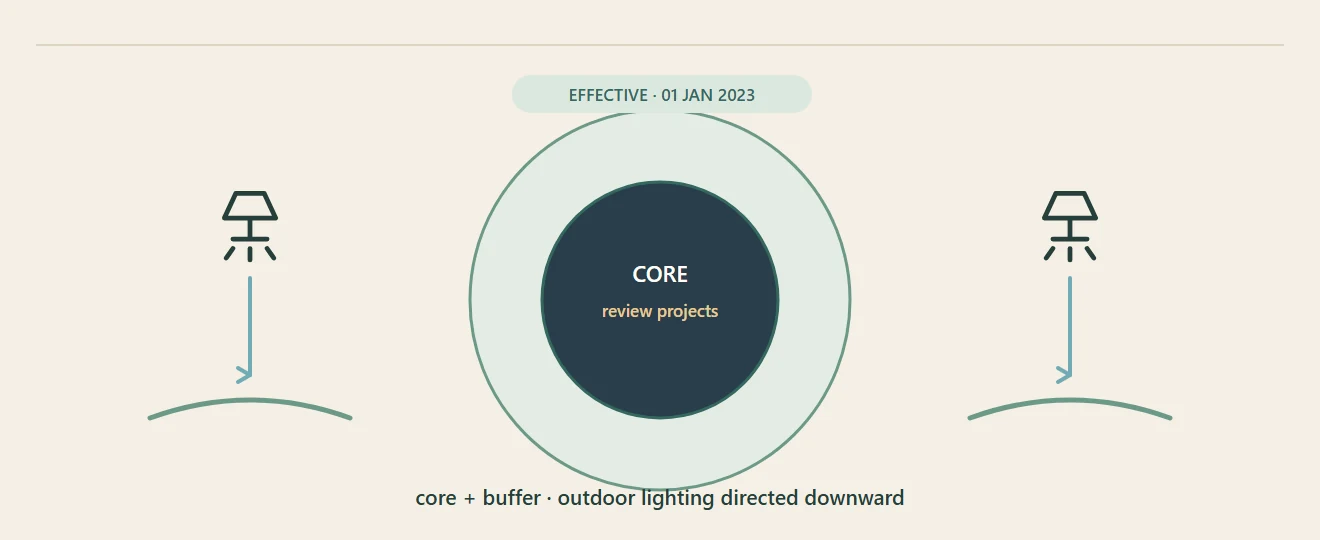
A 2022 local regulation treats darkness as part of the observatory environment, with protected core and buffer zones and rules for night lighting.
Read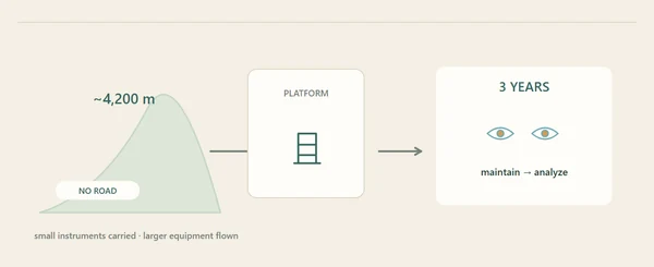
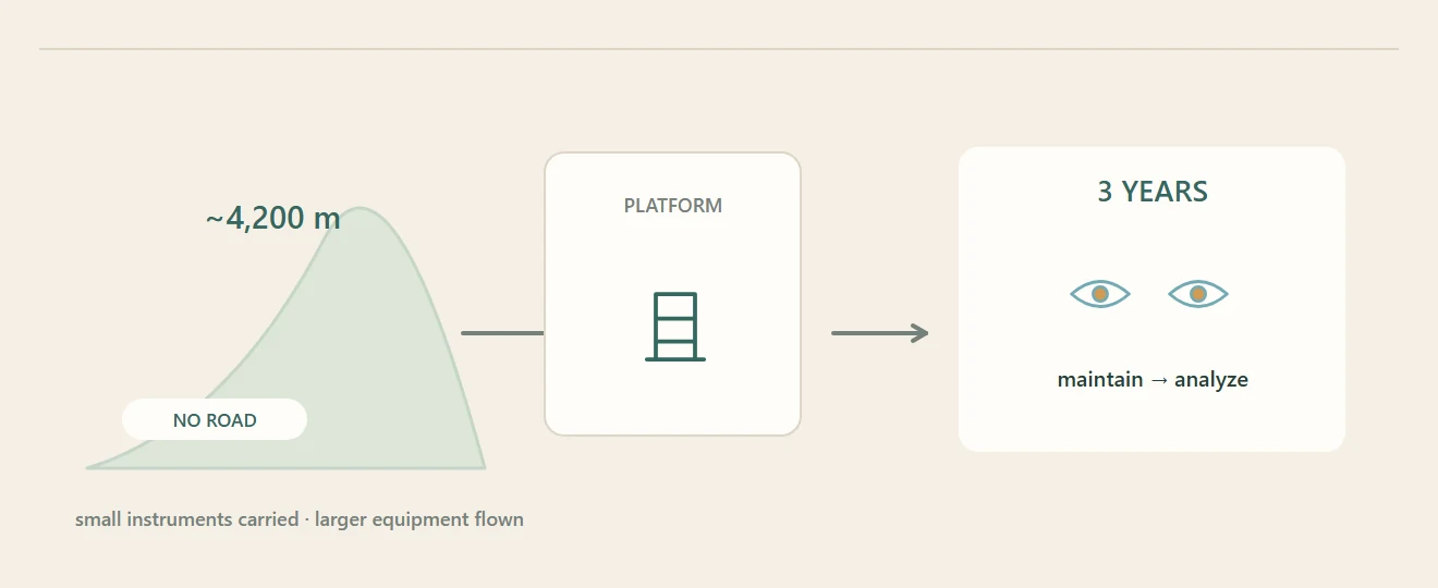
Field researchers carried instruments through a high, roadless landscape to test whether the Lenghu site could support an observatory.
Read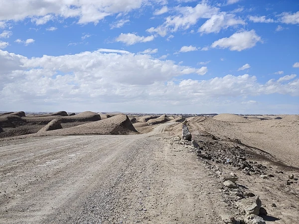
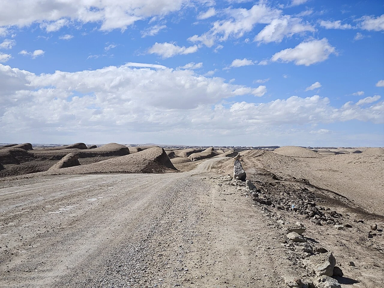
The Yadan landforms of Lenghu are a geological landscape; a nearby camp uses their appearance as a setting for simulated Mars education.
Read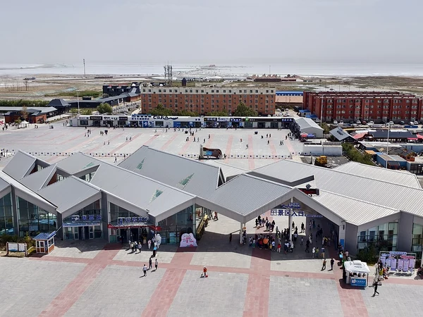
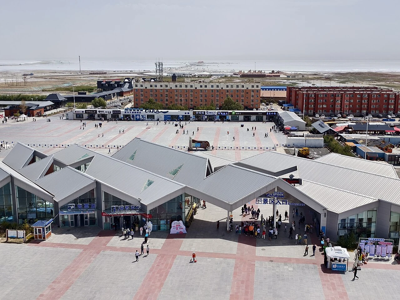
The official scenic-area address places the destination in Chaka Town, while its public identity is organized around a much larger salt lake.
Read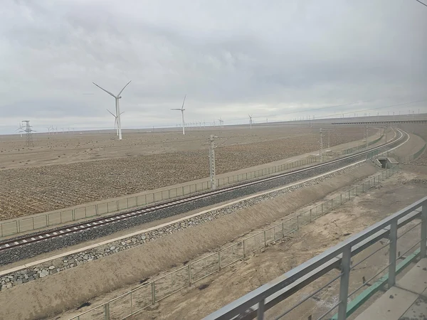
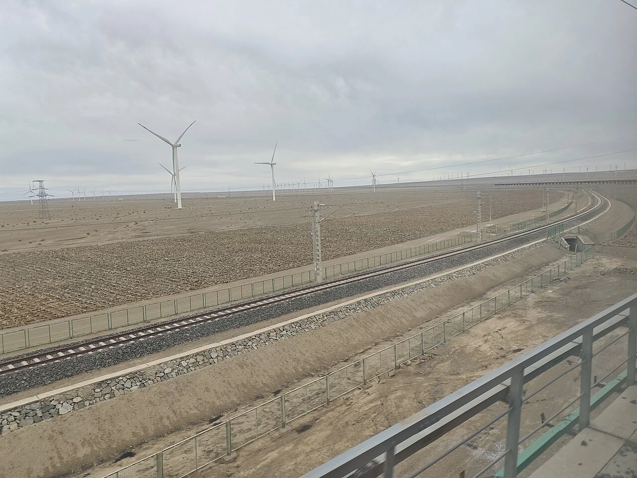
A 2026 account of railway maintenance calls the Qinghai–Tibet Railway’s passage across Qarhan Salt Lake a 33-kilometre “Salt Bridge.”
Read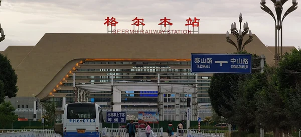
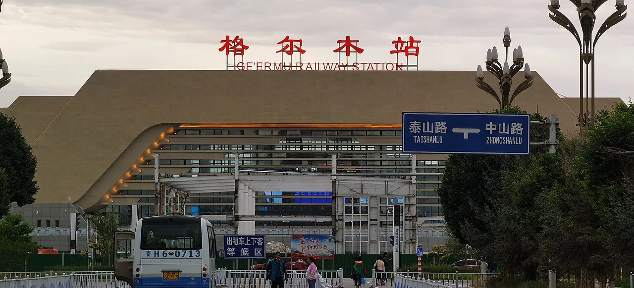
A 2020 junction project connected the Golmud–Korla Railway with the existing Qinghai–Tibet line through a new switch installation at Golmudhe.
Read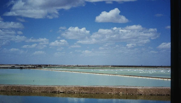
A 2023 account of Golmud Industrial Park traces a shift from basic salt processing toward a broader family of sodium products.
Read A bridge on the Zongjia–Golmud East road project was designed to rotate across an active railway after being built beside the line.
Read
A complex tomb at Dulan’s Reshui cemetery became a historical argument built from architecture, timber dating, an inscribed seal and written records.
Read
A 2023 exhibition at China Archaeology Museum placed a small inscribed seal from Dulan’s Reshui tombs before visitors as both an artifact and evidence.
Read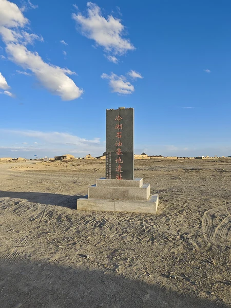
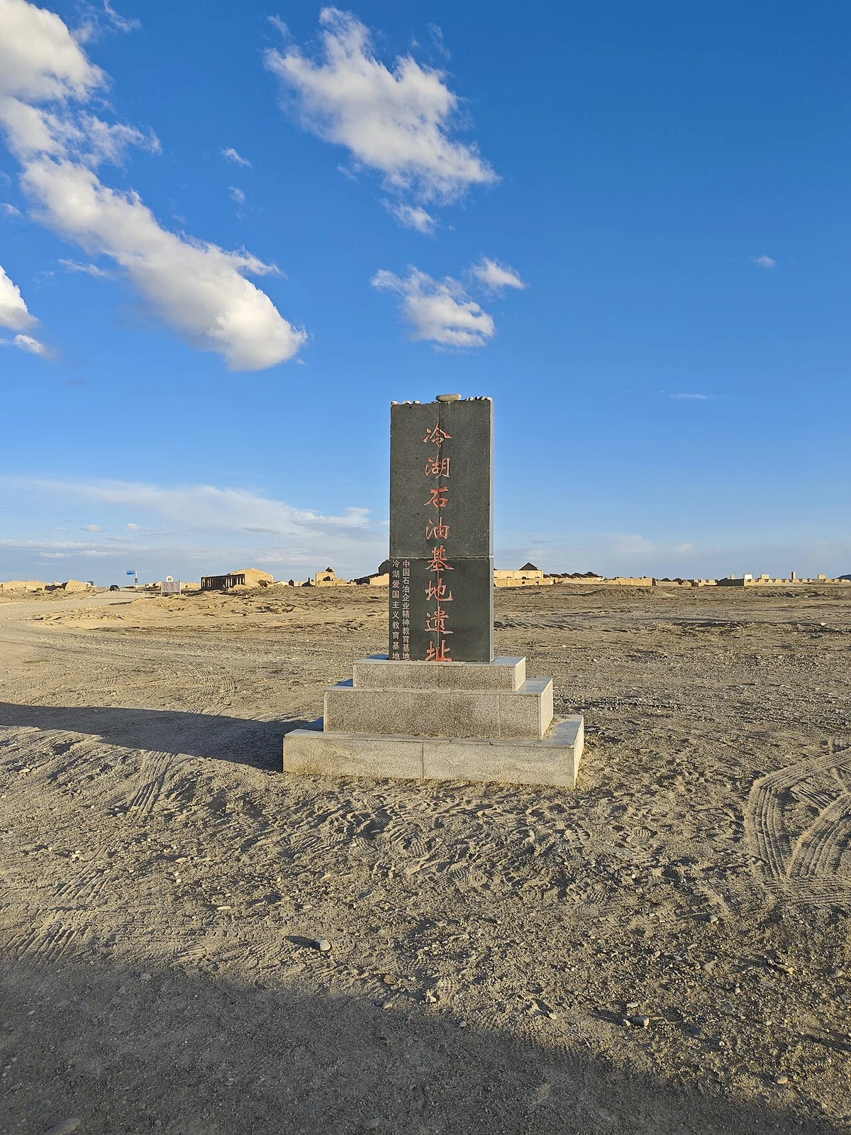
A 2022 field report follows the remains of the old No. 5 oil base near Lenghu, where pumps, a site marker, sand-filled rooms and former civic buildings preserve the outline of an oil town.
Read At Oboliang in Lenghu, a student field project tested high-precision positioning with three base stations and a drone, then set out a plan for route guidance and terrain protection.
Read
A 2021 account of Mangya’s Emerald Lake links its changing colors to salt beds, brine and a landscape shaped by both industry and tourism.
Read