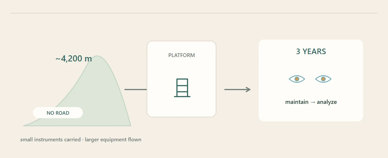
After narrowing the search to Saishiteng Mountain, the National Astronomical Observatories team set up monitoring equipment to test its initial judgment. The site stood about 4,200 metres above sea level. The route was steep and lacked road access; researchers carried smaller instruments and arranged helicopter transport for larger equipment. A climb took several hours, so each trip required the team to bring the tools and replacement parts it might need.
From the journal
Building a Measuring Station on Saishiteng Mountain
Field researchers carried instruments through a high, roadless landscape to test whether the Lenghu site could support an observatory.
A platform above the desert
The work behind a measurement
The team’s platform collected data on atmospheric conditions over three years. Researchers maintained the instruments, then sent observations to Beijing for closer analysis. A small shelter gave both people and equipment some protection from wind and snow. This sequence—select a point, build a measurement station, keep it working and analyze repeated readings—turned a mountain site into a scientific case for an observatory. The project was built first as a way to measure the sky.