Counting Birds Across Qinghai Lake’s Wetlands
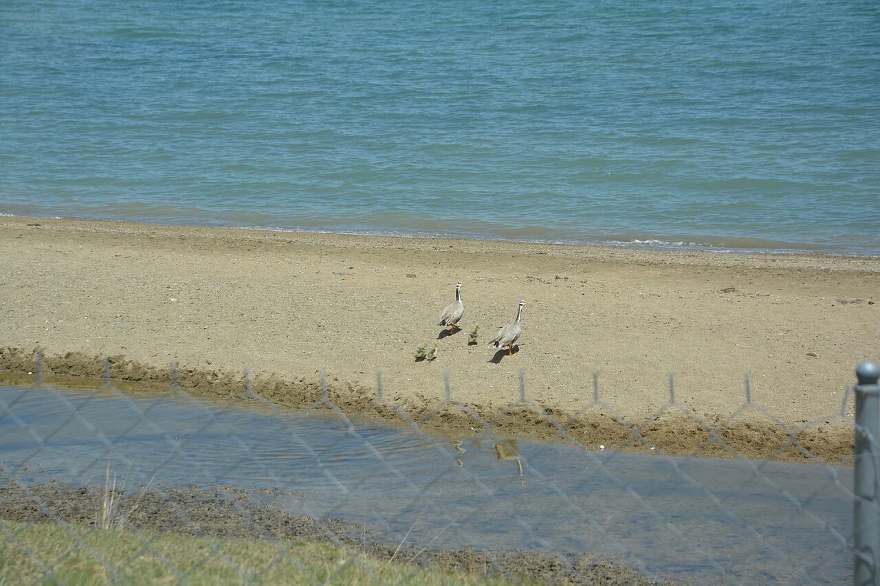
A bird count begins with repeatable choices: where to stand, what habitat to record and how to compare one observation with another. Qinghai Lake’s monitoring datasets make those choices visible.
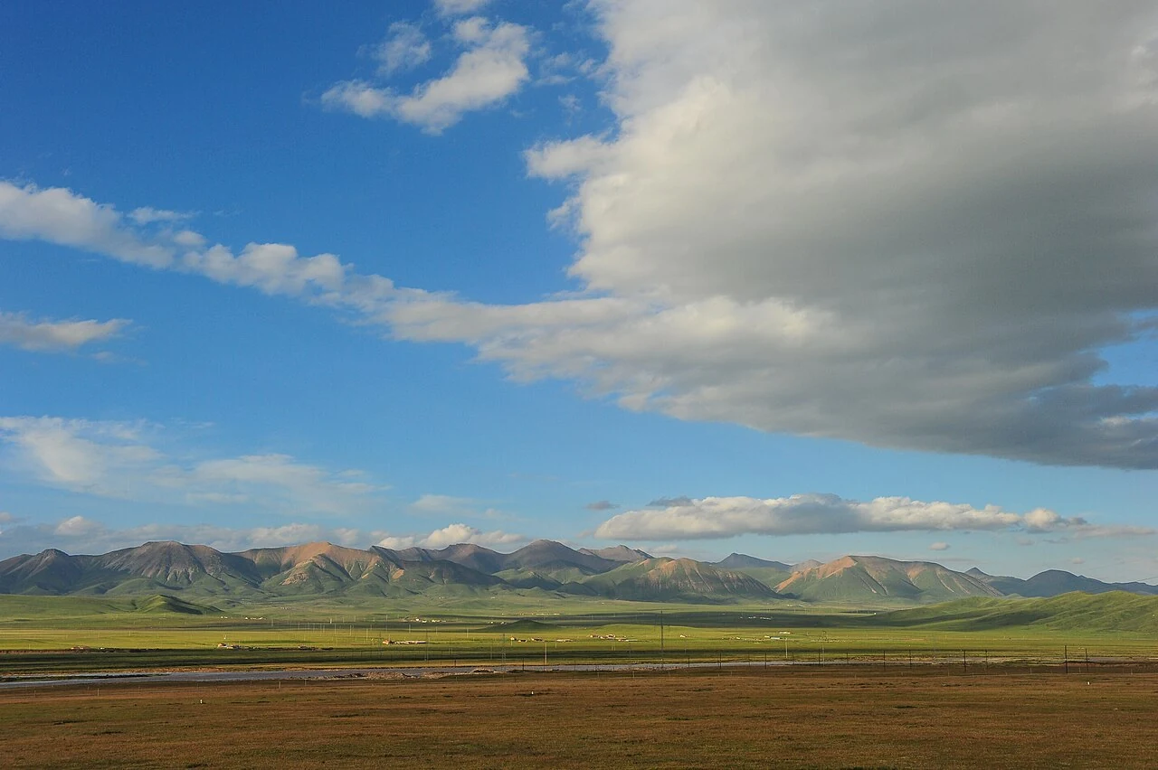
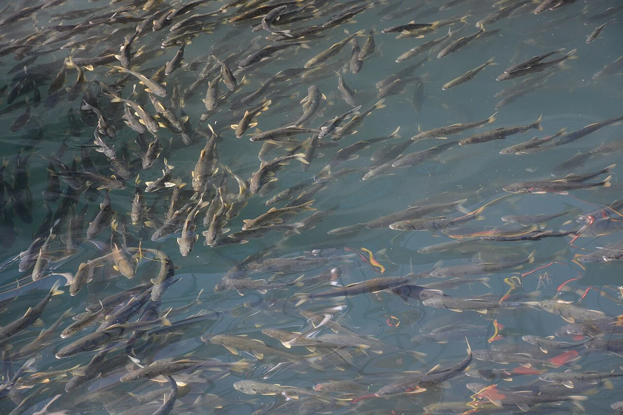
On Qinghai Lake’s northern side, a fish migration and a bird survey reveal movements that a lake panorama cannot hold. Farther north, Menyuan’s rapeseed fields and Gangshika’s winter pack teams show different kinds of seasonal work. Haiyan adds another register: Atomic City’s buildings and the stories attached to Jinyintan’s songs. These places share a regional home without sharing a single history.
A bird count begins with repeatable choices: where to stand, what habitat to record and how to compare one observation with another. Qinghai Lake’s monitoring datasets make those choices visible.
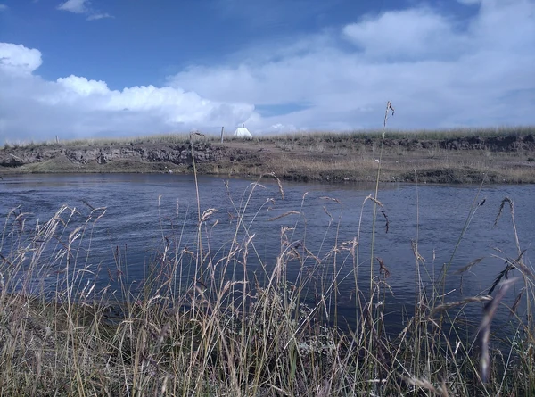
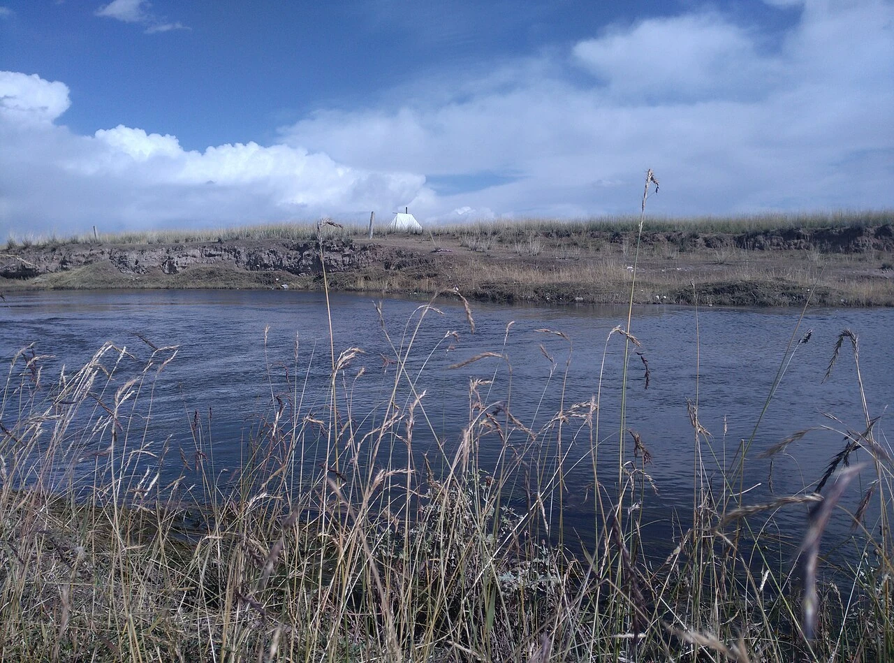
At Qinghai Lake, bird habitats are measured across seasons and forms of water. Monitoring records show why a migration stop is a network of places, not a single shoreline.
Read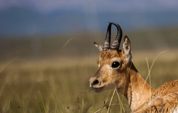
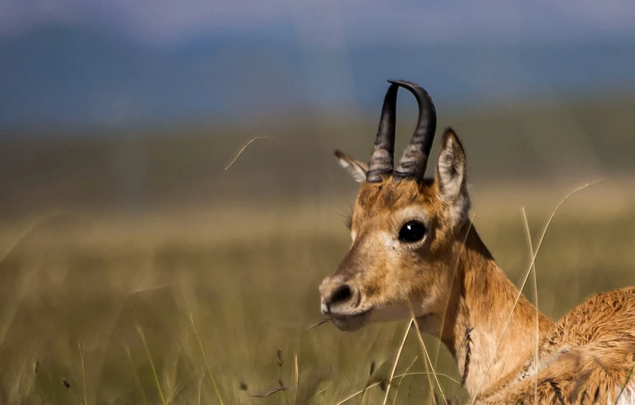
The endangered Przewalski’s gazelle survives around Qinghai Lake through connected habitat and years of monitoring. Protection work treats movement as a condition of survival.
Read
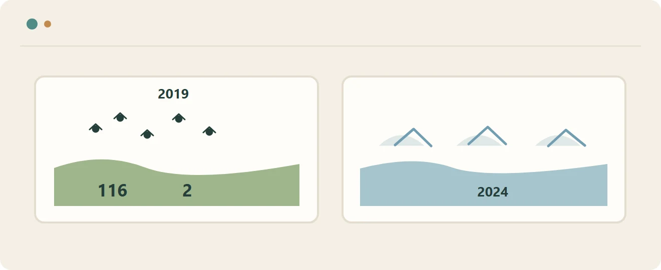
A 2019 winter survey counted birds in Fairy Bay, Gangcha; a separate 2024 report described ice near Shadao and Erlangjian on the lake’s east shore.
Read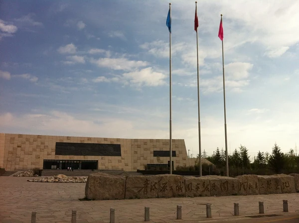
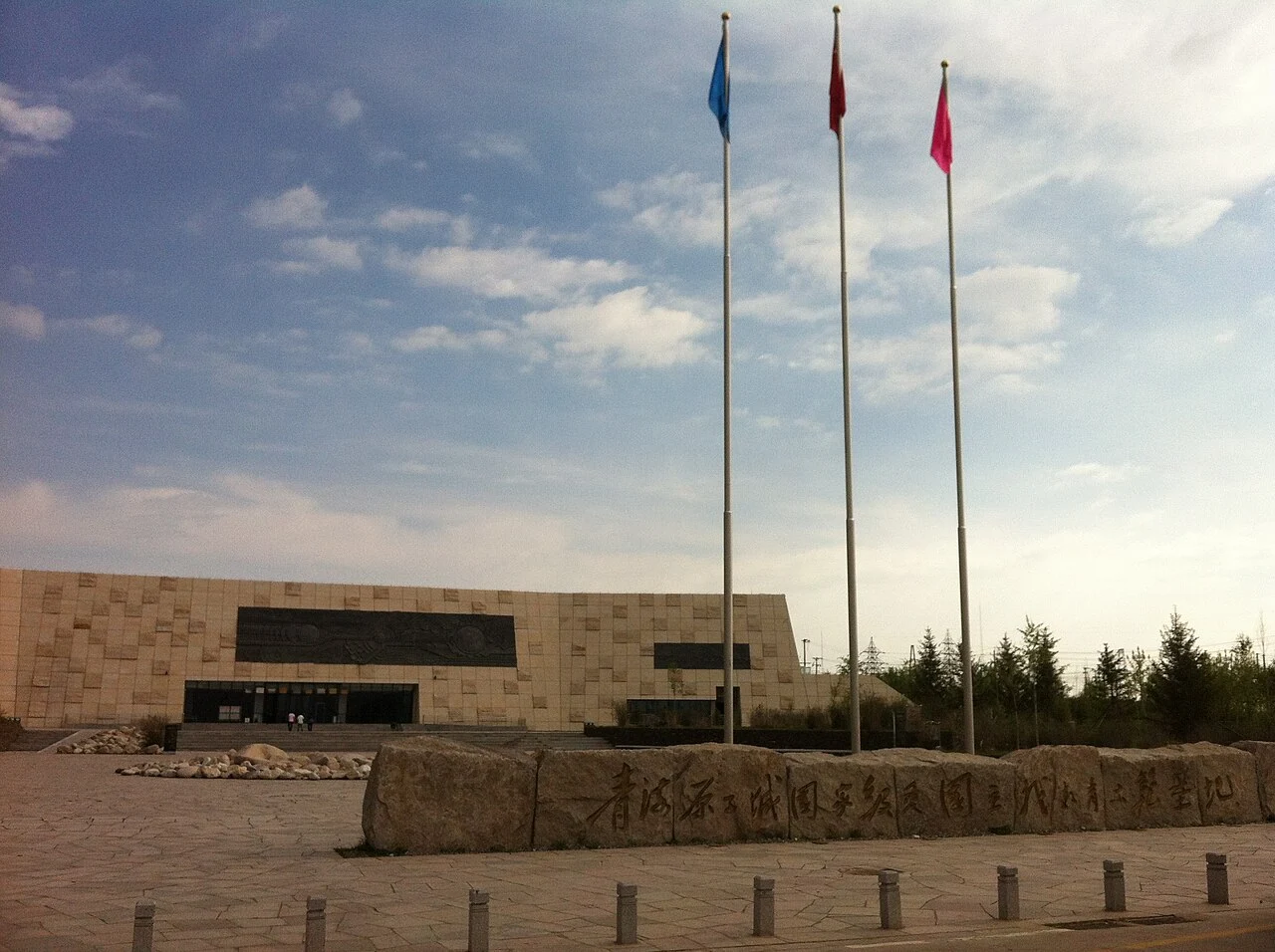
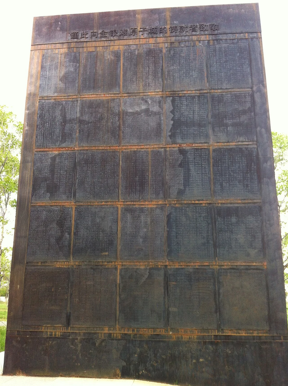
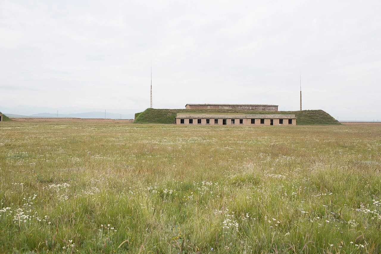
In 1995, the former nuclear research base at Xihai was transferred to local government. Its laboratories, halls and command facilities entered a new civic chapter in Haiyan County.
Read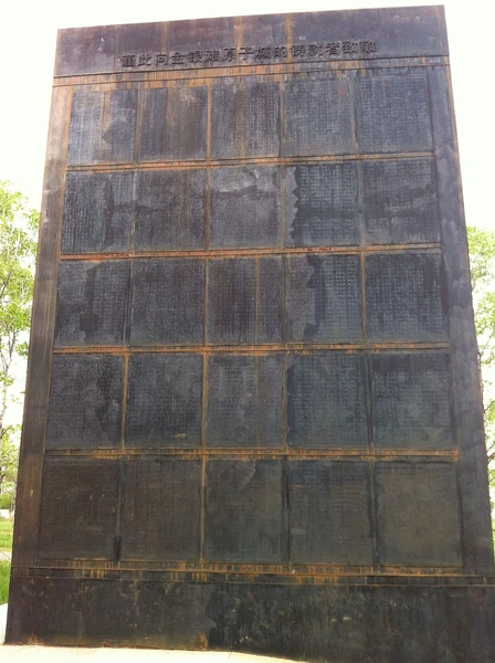
The official history of the former base includes scientists, workers, military personnel and local herding communities. Together, their labor formed the human setting of a research landscape on Jinyintan Grassland.
Read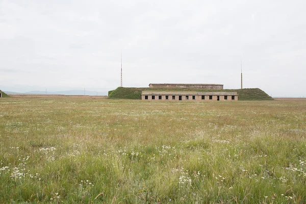
Science buildings, a library and a cinema are among the structures named in a 2021 account of the former base at Xihai. Their preservation gives the research complex a visible architectural record.
Read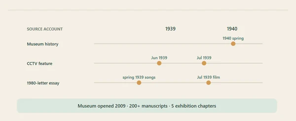
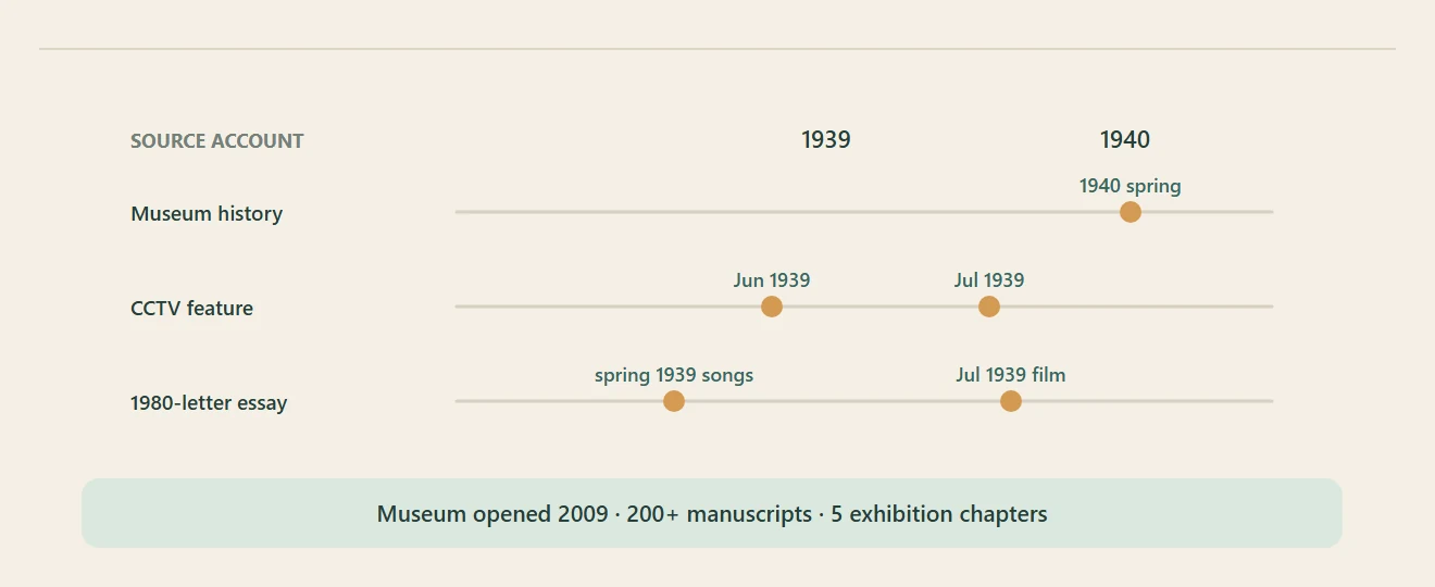
The Wang Luobin Music Art Museum preserves photographs and manuscripts tied to Jinyintan. Accounts place the song’s creation in spring 1939 or spring 1940, while connecting its story to the grassland.
Read
A 2021 prefectural tourism account followed the growth of Dayu Tribe near Xihai from a simple stop into a cycling service base, with pastoral households joining a changing local economy.
Read
A 2026 provincial legislative visit at Arou Great Monastery examined management, religious activities, financial disclosure and cultural relic protection as part of a wider review of religious-affairs rules in Haibei.
Read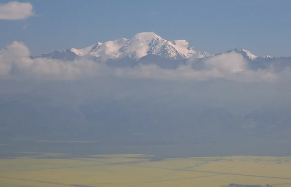
In Menyuan, a winter mountaineering season brought pack teams, guides, food stalls and road-maintenance work into a familiar pastoral landscape. A 2025 report recorded how local households took part.
Read Menyuan’s horse story connects an officially documented highland breed with a newer winter use: carrying mountaineering supplies at Gangshika.
Read A 2025 account of Gangshika links horse-racing events, winter mountaineering and local services. It offers a dated glimpse of how Menyuan was extending the mountain’s seasonal calendar.
Read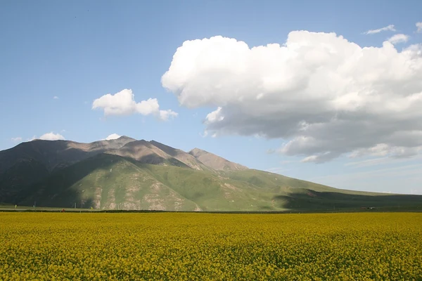
A Menyuan oil producer connected local seed processing to online orders through a packaging and postal-shipping system.
Read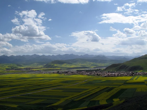
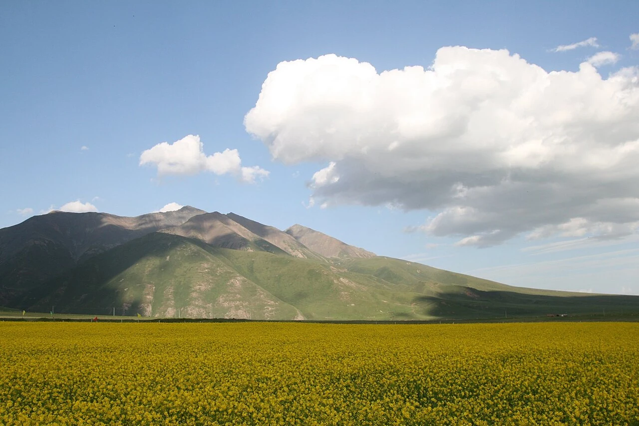
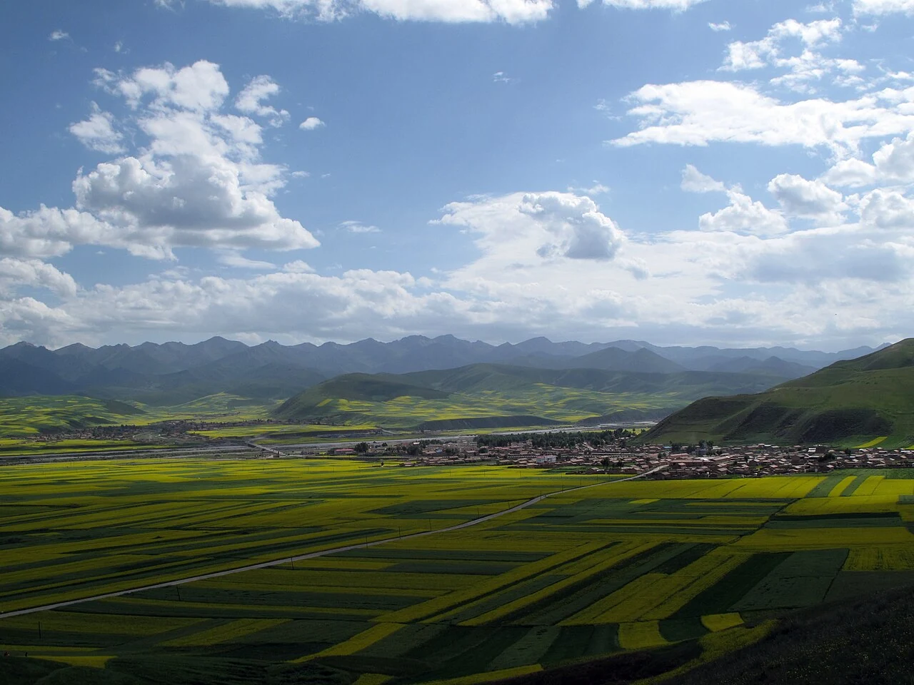
Summer flowering and autumn harvest show two different moments in Menyuan’s spring-rapeseed year, from field color to seed and oil.
Read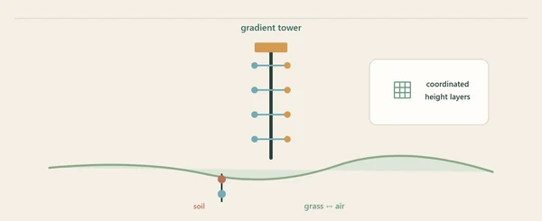
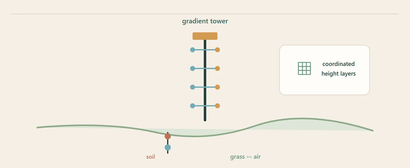
At a high alpine grassland station in Qilian County, a tower and buried sensors turn changing air and soil into measurements.
Read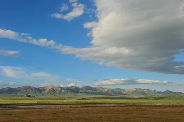
A 2013 hydrometeorological dataset linked 18 observation sites across the upper, middle and lower reaches of the Heihe River basin.
Read