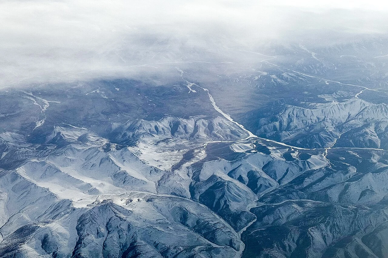
Qilian County sits at the upper end of a much larger field of observation. In a 2014 notice about data release, the State Key Laboratory of Remote Sensing and Digital Earth described 18 sites across the upper, middle and lower Heihe River basin. The network extended through Qilian in Qinghai, Zhangye in Gansu and Ejin Banner in Inner Mongolia. Its 2013 datasets brought together automatic weather stations, eddy-covariance instruments, runoff measurements and other observations.
From the journal
From Qilian to Ejin: A River Basin Measured in Stations
A 2013 hydrometeorological dataset linked 18 observation sites across the upper, middle and lower reaches of the Heihe River basin.
A network across one basin
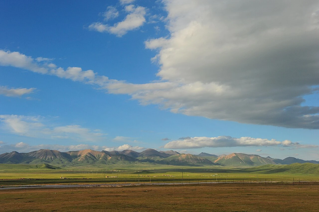
Many stations, different terrain
The upper network included the Arou Super Station and ordinary stations at places such as Dashaolong, Huangcangsi and Ebao. Farther downstream, the station names move into the Zhangye and Ejin parts of the basin. That distribution gives the river a measurable geography: not one mountain observation point standing for an entire watershed, but a chain of sites assigned to different reaches. The Arou grassland station and the larger hydrometeorological network meet in this map, while remaining distinct kinds of observation.