Oboliang’s wind-shaped yardang terrain sits in the Lenghu area of Mangya, Haixi. A Shanghai Jiao Tong University international student field project took a technical question into this exposed landscape: could a drone and ground stations provide dependable coordinates? The team tested three base-station points alongside drone positioning and checked centimeter-level RTK accuracy. Mapping began with fixed reference points, so a later image of the ridges could be placed on a measurable ground rather than treated as an isolated panorama.
From the journal
Mapping the Ground at Oboliang
At Oboliang in Lenghu, a student field project tested high-precision positioning with three base stations and a drone, then set out a plan for route guidance and terrain protection.
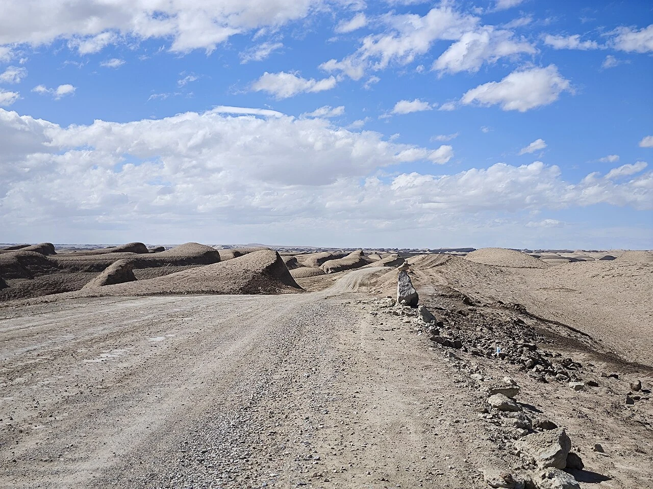
Three points on a windy landscape
A route drawn before the drive
The project page also records a plan for three-dimensional terrain reconstruction and monitoring. From those measurements, the student team proposed a digital guide that would direct vehicles along specified roads, locate a vehicle that needed help and use a geofence to flag unauthorized movement. The proposal joined two purposes of mapping: helping people orient themselves in a remote landscape and keeping vehicle tracks from spreading across it. The field test is the story’s concrete moment; the navigation and geofence functions remain a design proposal.