Azha Glacier and the Forests of Chayu
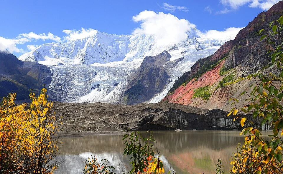
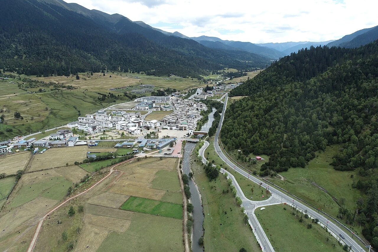
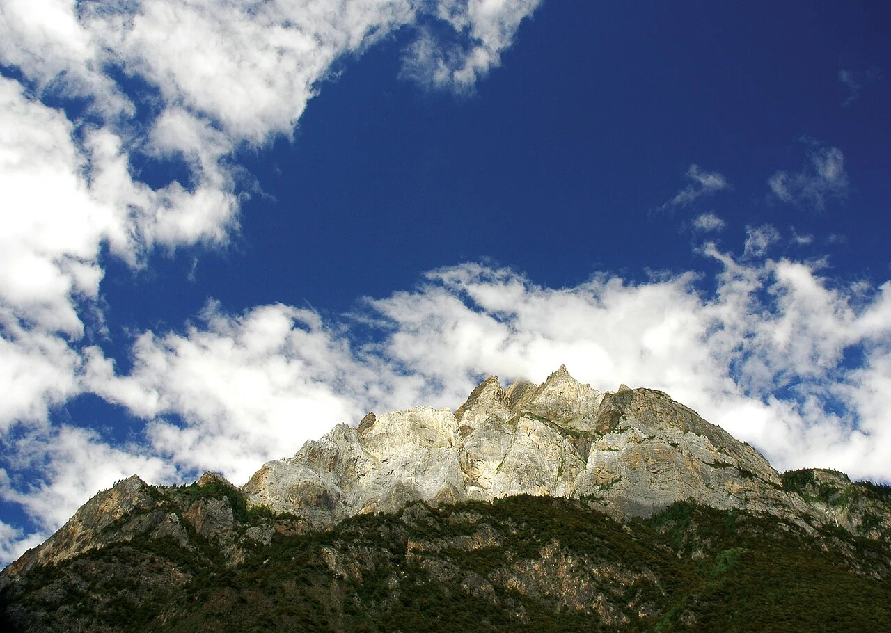
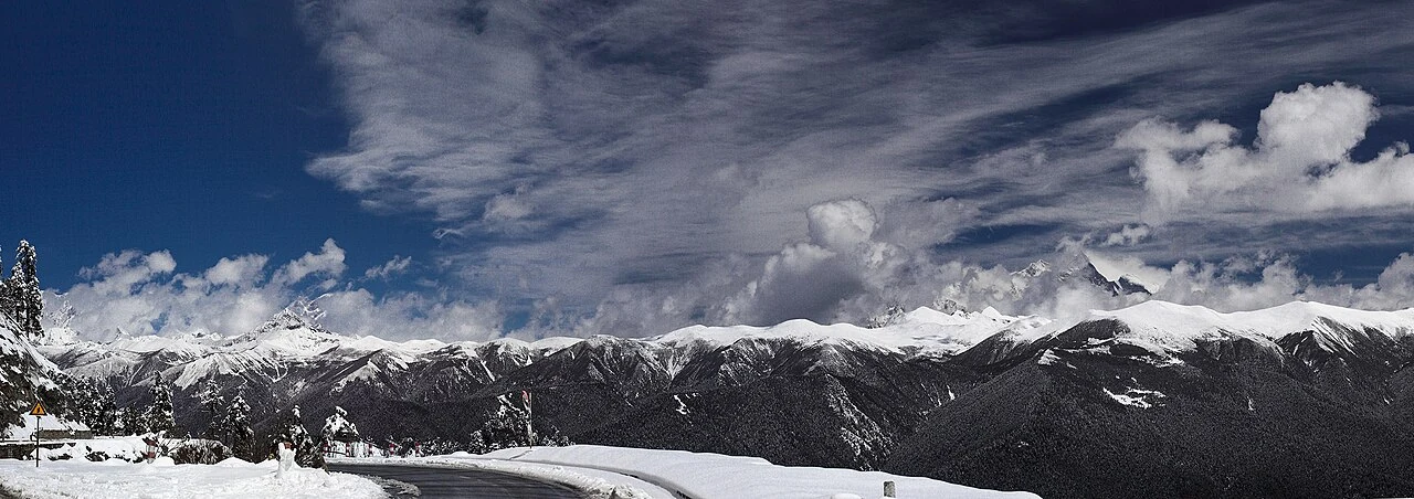
Near Azha village in Upper Chayu, a long glacier descends toward forest, giving the landscape its “green-sea glacier” image.
Near Azha village in Upper Chayu, a long glacier descends toward forest, giving the landscape its “green-sea glacier” image.
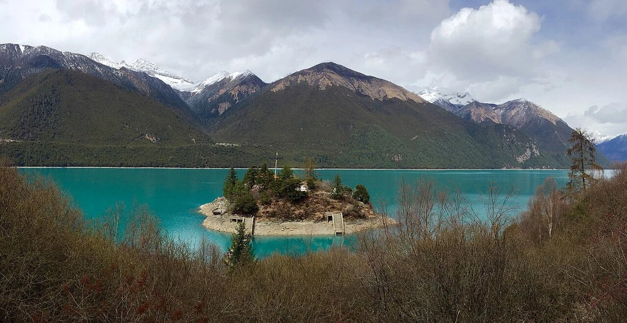
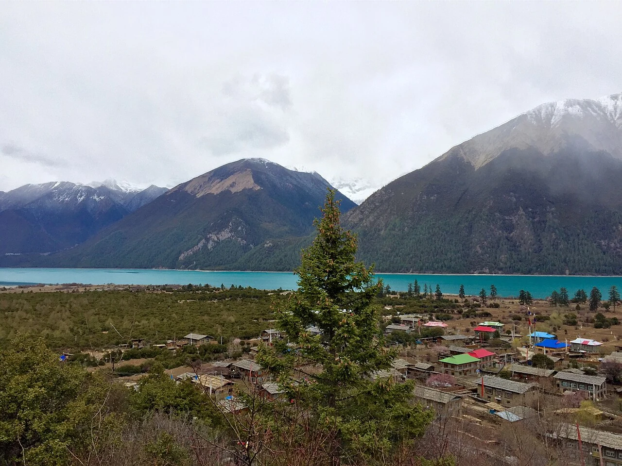
At Basum Tso, Tsozong Gongba Monastery on Tashi Island and the villages of Jeba and Cuogao turn a mountain lake into a lived cultural landscape.
Near Azha village in Upper Chayu, a long glacier descends toward forest, giving the landscape its “green-sea glacier” image.
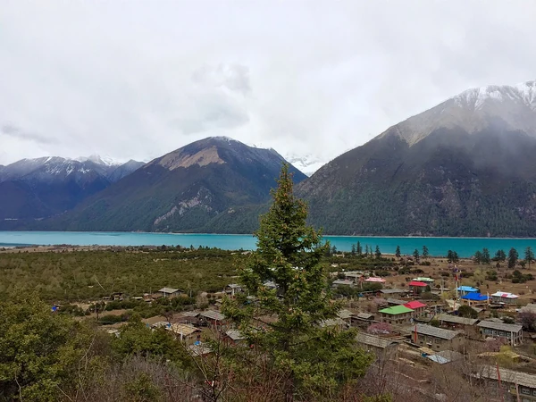
At Basum Tso, Tsozong Gongba Monastery on Tashi Island and the villages of Jeba and Cuogao turn a mountain lake into a lived cultural landscape.
Read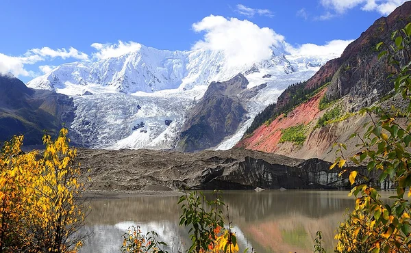
At the foot of Midui Glacier, villagers organized a horse service into a shared village operation, then added licensed sightseeing vehicles and other work tied to visitors.
ReadA 2015 report from Shaqiong records a Chayu Deng hospitality food made with barnyard millet, chicken or pork, and locally growing plants.
ReadA Chayu report records silver hairpins, bracelets, chest ornaments and coin-worked bag straps, while a separate account lays out a six-step craft sequence.
Read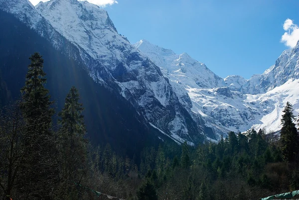
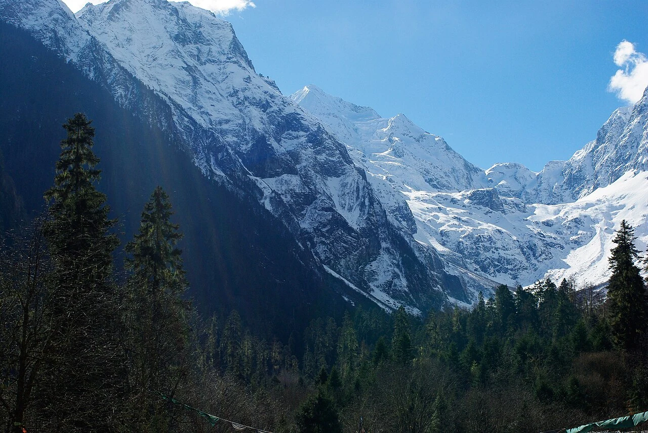
Gangyun Spruce Forest belongs to Bomi County’s steep mountain terrain, where river valleys, ridges and sharp elevation changes shape the forest landscape.
Read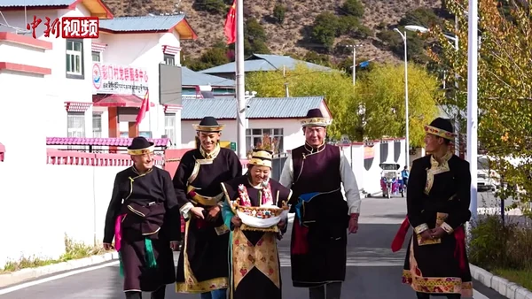
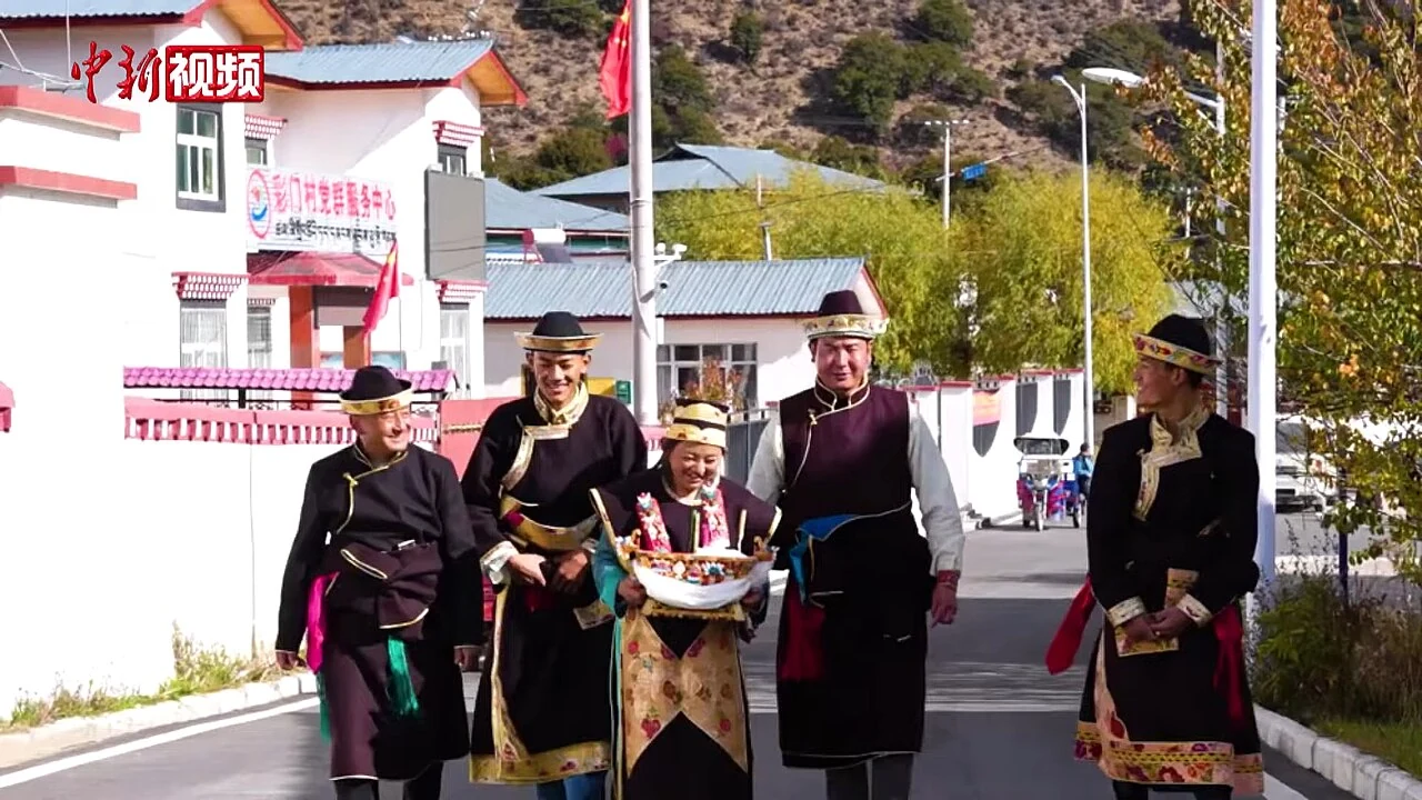
Celebrated on the first day of the tenth Tibetan month, Gongbo New Year joins a regional calendar to stories, food and shared work.
ReadA 2023 documentation project spent 304 days gathering Gongbo folk song and dance across 25 villages, then turned recordings into translated lyrics, scores and documentary films.
ReadThe phrase “Yarlung Tsangpo Great Bend” can point to the turn around Namcha Barwa near Pai, while Guoguotang is a separate 360-degree river loop in Motuo. Keeping the names distinct clarifies the map.
ReadFrom the listening cave at Buru to the steaming fissures at Pailong, Nyingchi’s hot springs are described through distinct local settings and names.
Read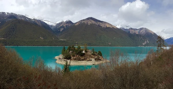
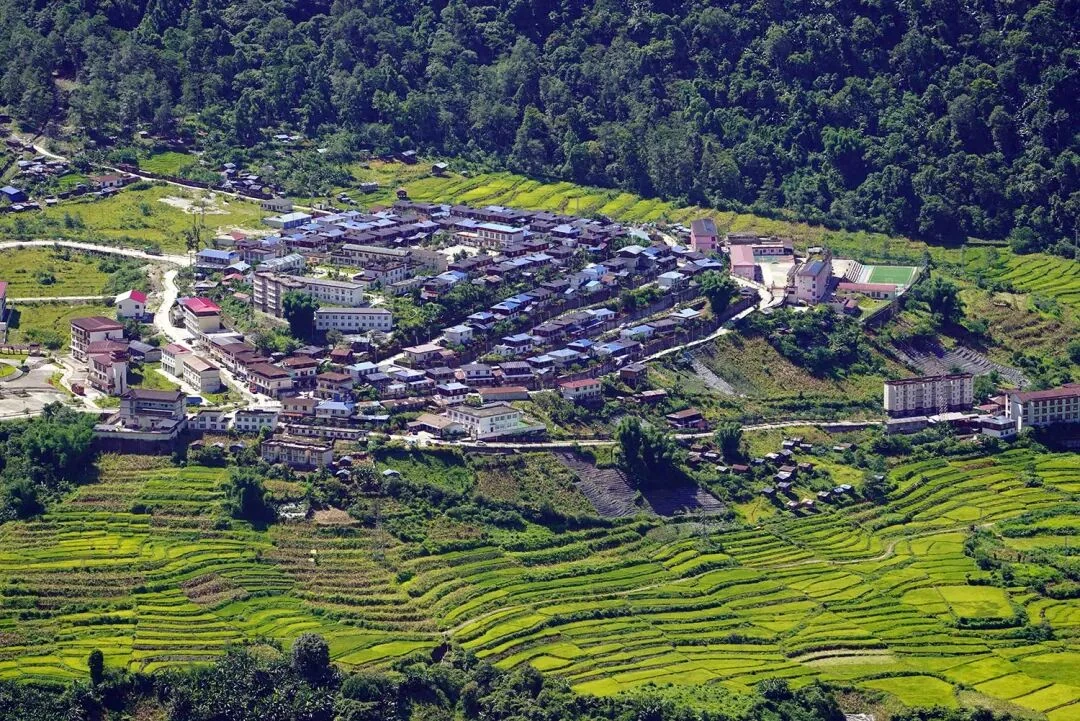
At Basum Tso, Jeba is a lived-in Gongbo village whose stone-and-timber houses, shared spaces and lake setting tell a more grounded story than the view alone.
Read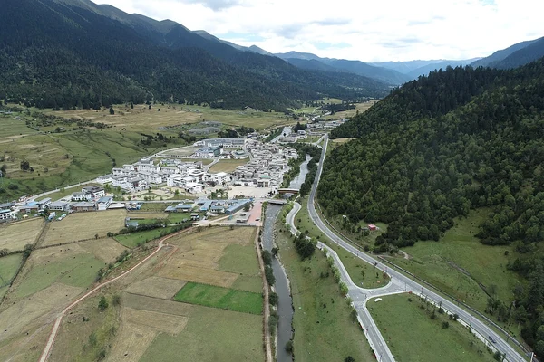
Lulang’s forest belongs to the Bayi District mountain landscape, where rain, mist and elevation make Nyingchi’s seasonal vocabulary more than a spring blossom story.
ReadIn a 2025 report from Zongrong Village, a Monpa woman lays steamed red rice, stone-pot chicken and local sides on banana leaves for a shared meal.
Read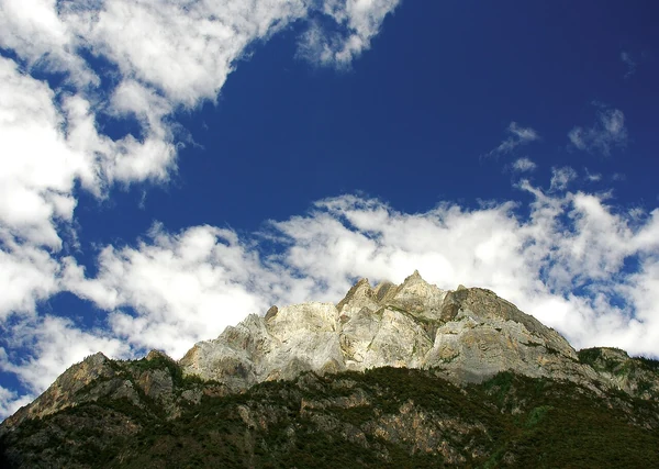
Near Midui Village in Bomi County, glacier ice, mountain forest and village life meet; dated photographs preserve seasonal views, while a 2022 report records local horse-team visits.
Read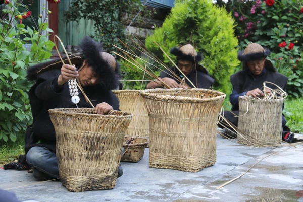
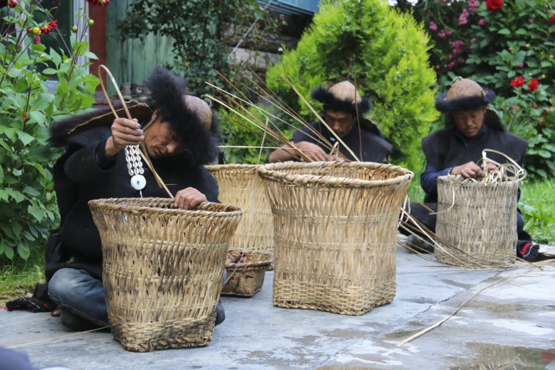
A national ethnic-affairs account describes Lhoba bamboo work through baskets, mats, cages, cords, bowls and rain gear; a 2019 regional heritage list names Milin Lhoba bamboo weaving.
Read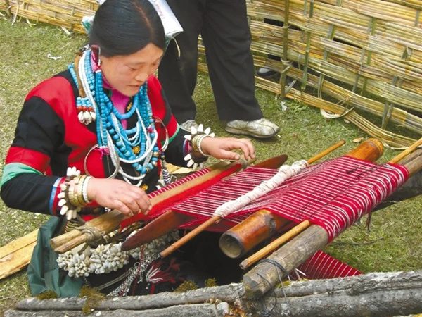
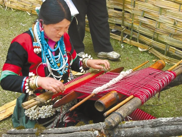
At Caizhao in Milin, Yayi taught Lhoba textile work from a village center; later, Ya Daer led a cooperative that brought more than twenty women into shared production and sales.
ReadA national account describes how Lhoba builders carried rattan, palm and bamboo ropes across rivers; a separate report says the steel Dexing Bridge opened in 2009 for vehicle traffic.
ReadIn Bangxin Township, a named young maker has spent seven or eight years learning to carve Motuo soapstone, while a village cooperative links the craft to training and new designs.
Read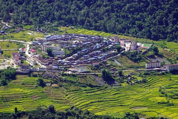
On the road from the Galongla Tunnel to Beibeng, a few hours carry travelers from glacier country to banana groves, bamboo and fruit orchards.
ReadA Motuo villager describes a yellow wine made from barnyard millet and corn, with fermentation that takes a week in summer and about two months in winter.
Read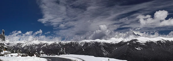
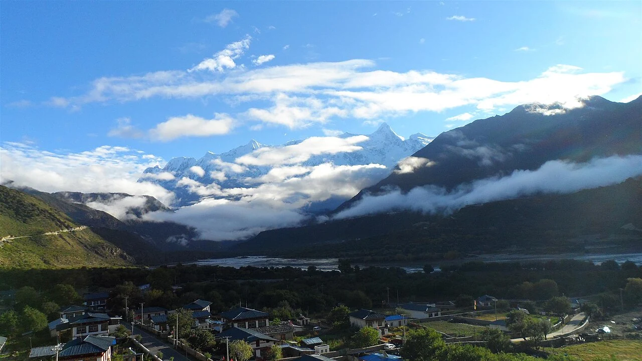
Namcha Barwa rises beside the great bend of the Yarlung Tsangpo, where a dramatic meeting of mountain and river has inspired both geography and story.
Read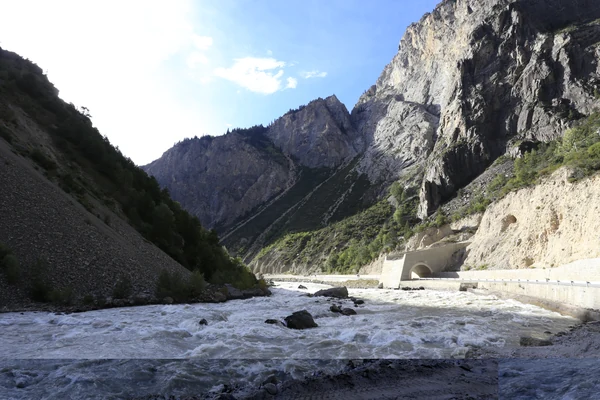
From its source area in Baxoi County, Chamdo, the Palong Tsangpo crosses into Bomi and continues toward the Yarlung Tsangpo. A 2023 hydrology model quantifies the upstream catchment’s seasonal mix of rain, snowmelt, glacier melt and baseflow.
Read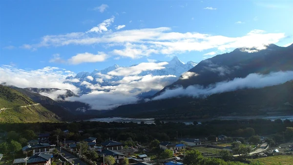
A route guide leads visitors from Sosong’s barley fields toward the Yarlung Tsangpo and Namcha Barwa, placing village paths within the grand canyon landscape.
ReadNamed waterfalls trace a route across Nyingchi’s valleys, from Kading Tianfo Falls near Bayi to Hanmi in Motuo and cascades beside the Zhamo Highway.
ReadFive stone-and-timber towers stand near the Bahe Bridge in Gongbo’gyamda. Their unusual plan and reported radiocarbon result offer a closer view of Xiuba’s architecture and chronology.
Read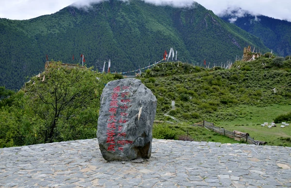
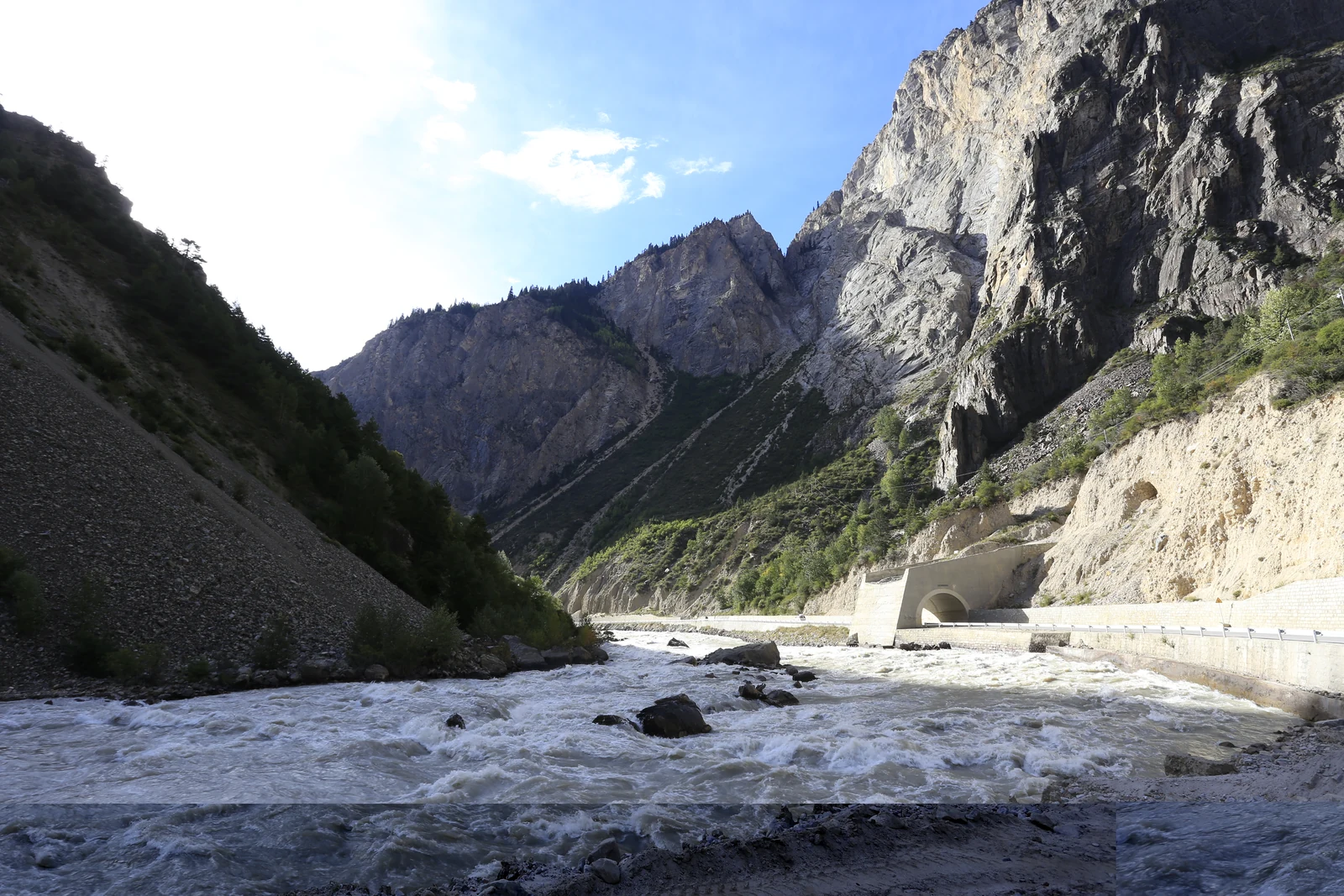
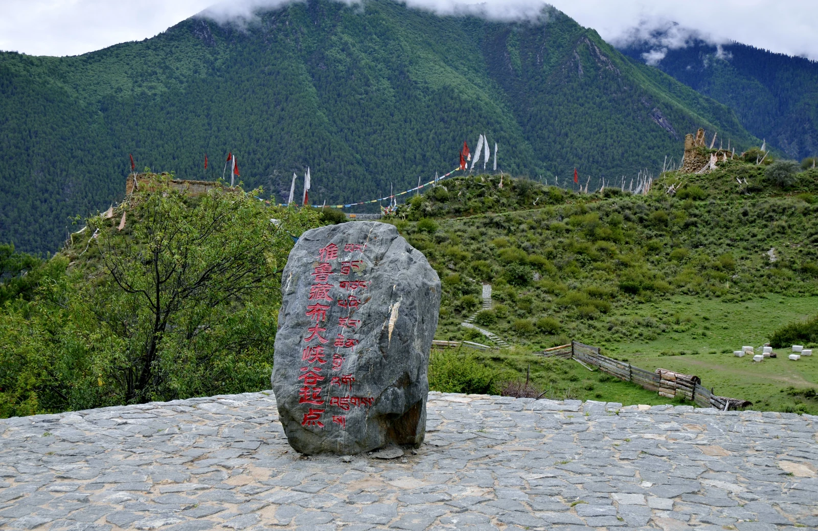
A municipal profile traces the canyon from Daduka Village in Milin through the bend near Pailong to Baxika in Motuo. Its measurements describe a long river corridor; the story lies in how the route crosses county boundaries and drops toward the lower valley.
ReadNear Azha village in Upper Chayu, a long glacier descends toward forest, giving the landscape its “green-sea glacier” image.
At Basum Tso, Tsozong Gongba Monastery on Tashi Island and the villages of Jeba and Cuogao turn a mountain lake into a lived cultural landscape.
At the foot of Midui Glacier, villagers organized a horse service into a shared village operation, then added licensed sightseeing vehicles and other work tied to visitors.
A 2015 report from Shaqiong records a Chayu Deng hospitality food made with barnyard millet, chicken or pork, and locally growing plants.
A Chayu report records silver hairpins, bracelets, chest ornaments and coin-worked bag straps, while a separate account lays out a six-step craft sequence.
Gangyun Spruce Forest belongs to Bomi County’s steep mountain terrain, where river valleys, ridges and sharp elevation changes shape the forest landscape.
Celebrated on the first day of the tenth Tibetan month, Gongbo New Year joins a regional calendar to stories, food and shared work.
A 2023 documentation project spent 304 days gathering Gongbo folk song and dance across 25 villages, then turned recordings into translated lyrics, scores and documentary films.
The phrase “Yarlung Tsangpo Great Bend” can point to the turn around Namcha Barwa near Pai, while Guoguotang is a separate 360-degree river loop in Motuo. Keeping the names distinct clarifies the map.
From the listening cave at Buru to the steaming fissures at Pailong, Nyingchi’s hot springs are described through distinct local settings and names.
At Basum Tso, Jeba is a lived-in Gongbo village whose stone-and-timber houses, shared spaces and lake setting tell a more grounded story than the view alone.
Lulang’s forest belongs to the Bayi District mountain landscape, where rain, mist and elevation make Nyingchi’s seasonal vocabulary more than a spring blossom story.
In a 2025 report from Zongrong Village, a Monpa woman lays steamed red rice, stone-pot chicken and local sides on banana leaves for a shared meal.
Near Midui Village in Bomi County, glacier ice, mountain forest and village life meet; dated photographs preserve seasonal views, while a 2022 report records local horse-team visits.
A national ethnic-affairs account describes Lhoba bamboo work through baskets, mats, cages, cords, bowls and rain gear; a 2019 regional heritage list names Milin Lhoba bamboo weaving.
At Caizhao in Milin, Yayi taught Lhoba textile work from a village center; later, Ya Daer led a cooperative that brought more than twenty women into shared production and sales.
A national account describes how Lhoba builders carried rattan, palm and bamboo ropes across rivers; a separate report says the steel Dexing Bridge opened in 2009 for vehicle traffic.
In Bangxin Township, a named young maker has spent seven or eight years learning to carve Motuo soapstone, while a village cooperative links the craft to training and new designs.
On the road from the Galongla Tunnel to Beibeng, a few hours carry travelers from glacier country to banana groves, bamboo and fruit orchards.
A Motuo villager describes a yellow wine made from barnyard millet and corn, with fermentation that takes a week in summer and about two months in winter.
Namcha Barwa rises beside the great bend of the Yarlung Tsangpo, where a dramatic meeting of mountain and river has inspired both geography and story.
From its source area in Baxoi County, Chamdo, the Palong Tsangpo crosses into Bomi and continues toward the Yarlung Tsangpo. A 2023 hydrology model quantifies the upstream catchment’s seasonal mix of rain, snowmelt, glacier melt and baseflow.
A route guide leads visitors from Sosong’s barley fields toward the Yarlung Tsangpo and Namcha Barwa, placing village paths within the grand canyon landscape.
Named waterfalls trace a route across Nyingchi’s valleys, from Kading Tianfo Falls near Bayi to Hanmi in Motuo and cascades beside the Zhamo Highway.
Five stone-and-timber towers stand near the Bahe Bridge in Gongbo’gyamda. Their unusual plan and reported radiocarbon result offer a closer view of Xiuba’s architecture and chronology.
A municipal profile traces the canyon from Daduka Village in Milin through the bend near Pailong to Baxika in Motuo. Its measurements describe a long river corridor; the story lies in how the route crosses county boundaries and drops toward the lower valley.