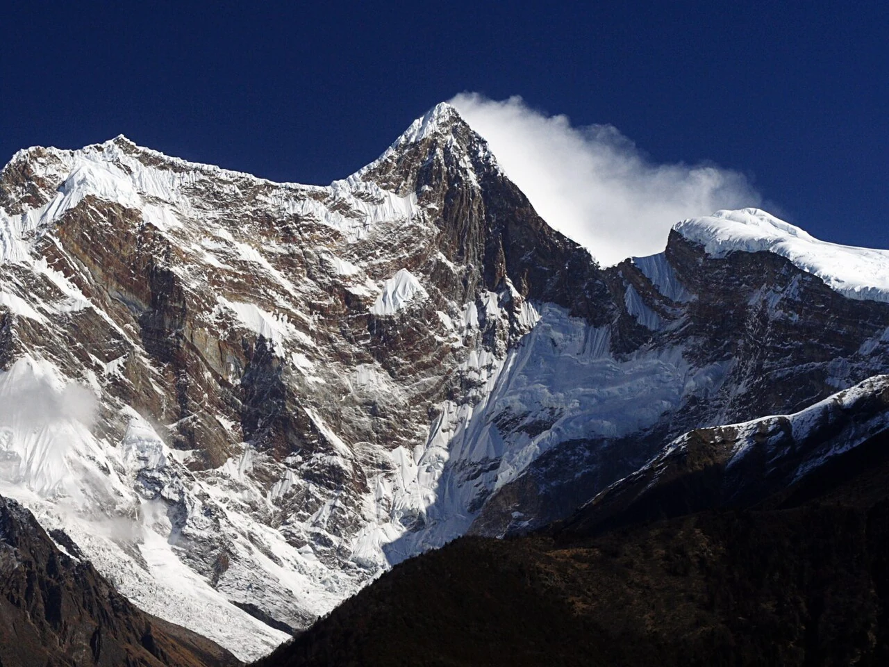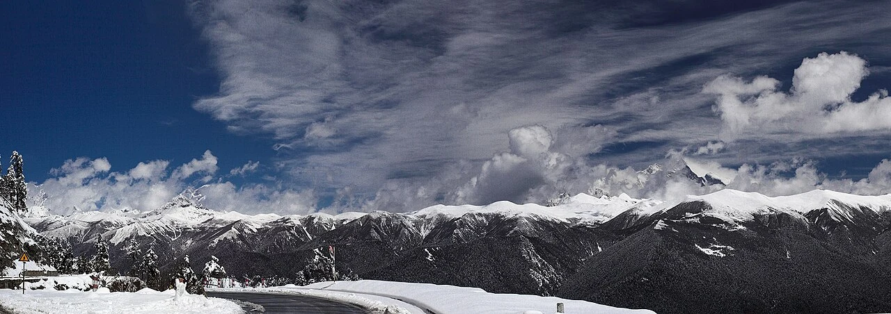
Namcha Barwa stands in southeastern Tibet, where the eastern end of the Himalayan arc meets the great bend of the Yarlung Tsangpo. A regional government profile gives its elevation as 7,782 metres and describes the river curving around the mountain before continuing toward the Indian Ocean. The figure and the route give the peak a clear geographic frame: it is not an isolated summit, but part of a landscape organized by ridges, deep valleys and a river turning around a massif.
Satellite imagery makes this relationship visible at a scale difficult to grasp from a single viewpoint. NASA's Earth Observatory describes the river passing between Namcha Barwa and Gyala Peri near the canyon entrance. The pair of peaks helps explain why the bend feels so immense: the river and mountain walls define one another in the view.