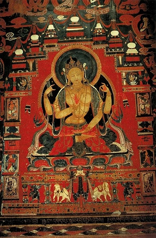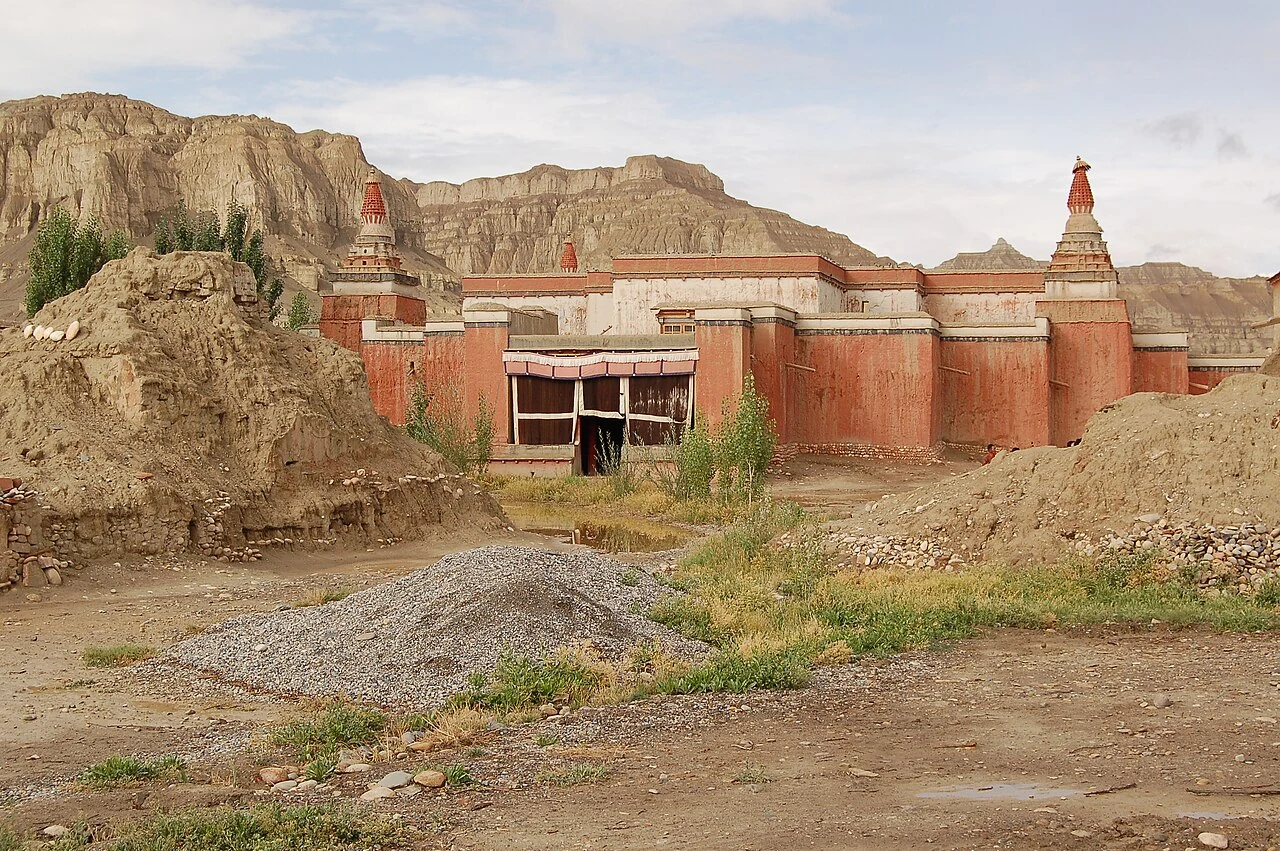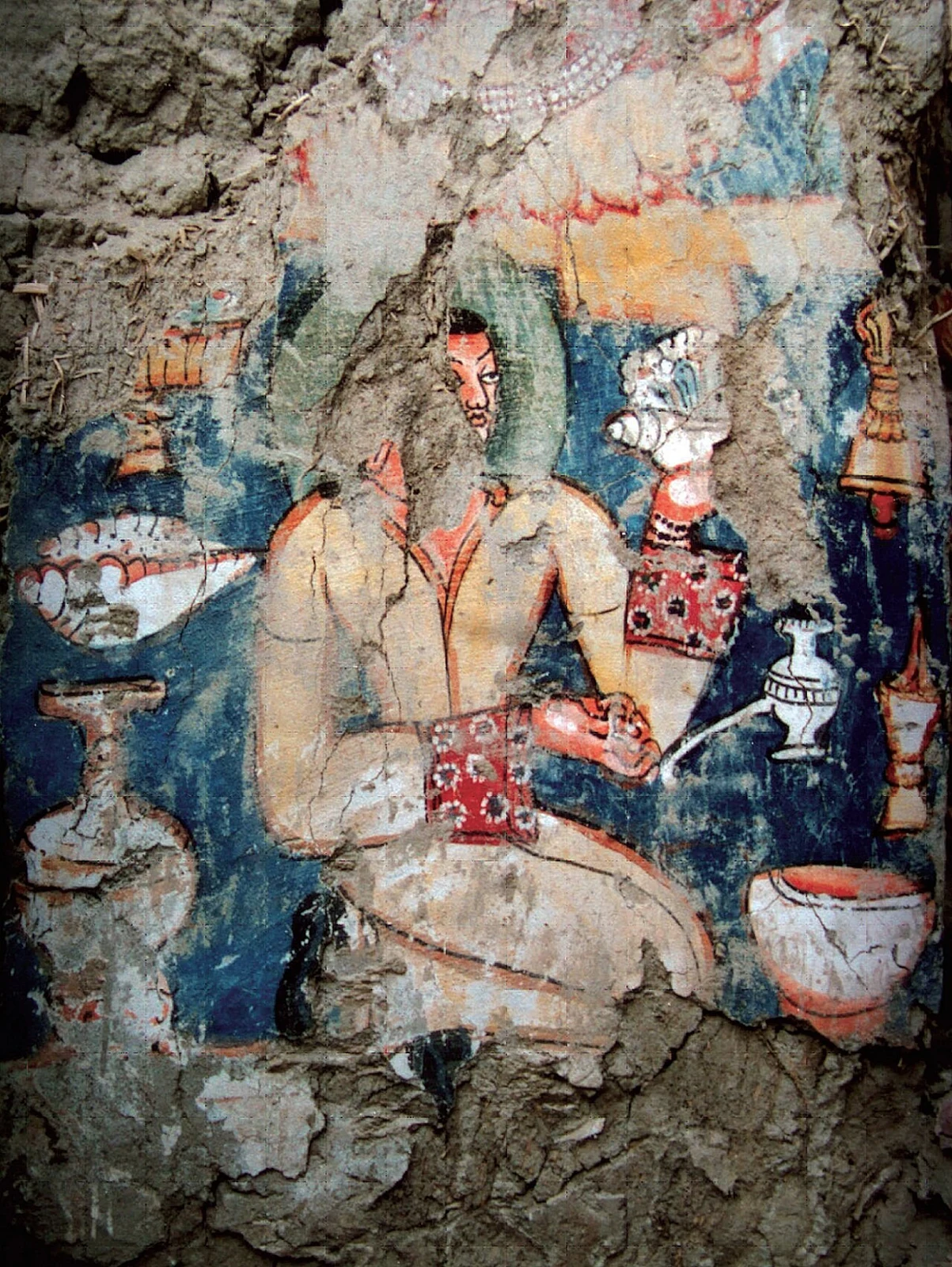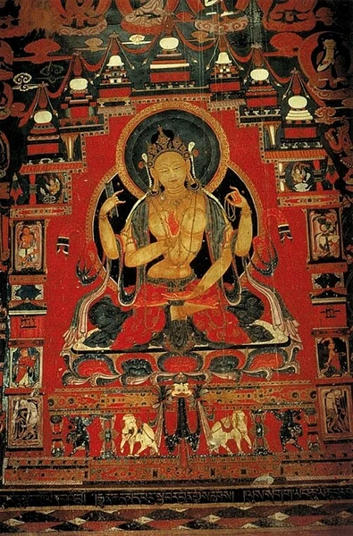
A thousand photographs and a stitching system turned Tholing’s White Temple east wall into a high-resolution record and a near life-size museum reconstruction.
Read ↗ 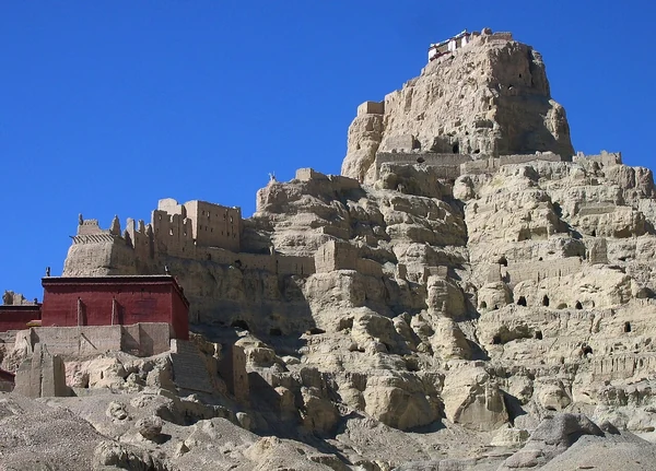
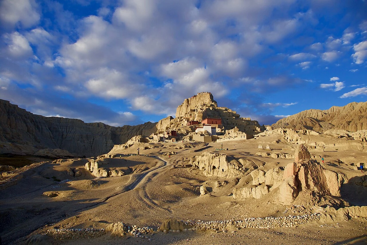
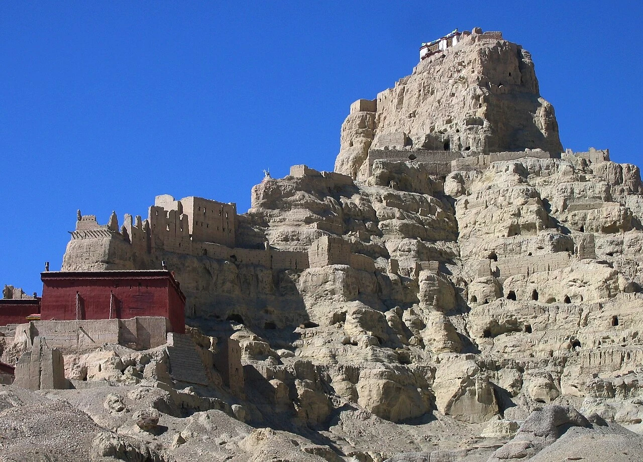
The Guge capital was one part of a wider western Tibetan world. Archaeological research at Piyang-Donggar identifies settlements, cemeteries and Buddhist monuments alongside evidence for barley cultivation and herding, while historical sources place trade and translation within Guge’s regional life.
Read ↗ 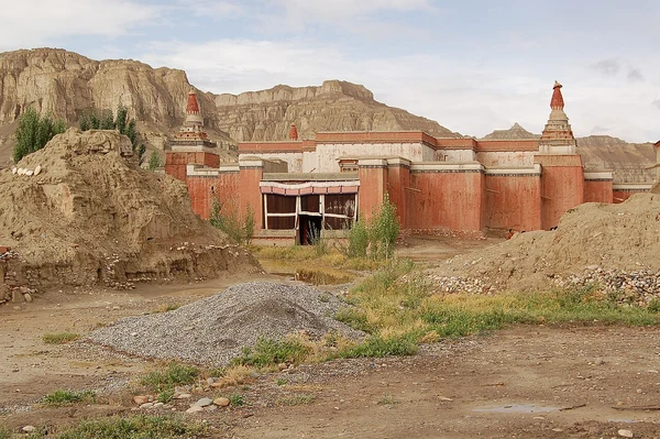
A twelfth-century manuscript found near Tholing preserves a historical narrative centred on Tibetan kingship, distinct from Buddhist histories of its period.
Read ↗ 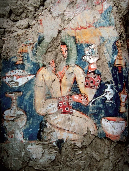
Art historian Christian Luczanits traces Newar-derived floral motifs and Chinese textile patterns in the Tholing murals while emphasizing Tibetan local agency.
Read ↗ The cliffs of the Zhada Basin expose sediments laid down before the Sutlej cut through the basin. Geomorphologists use that contrast between broad low-relief surfaces and deep river incision to reconstruct a major reorganization of drainage in the western Himalaya.
Read ↗ Piyang and Donggar are not a single cave or a single moment. Archaeological research places them within a broader Zhada complex of settlements, cemeteries, and Buddhist monuments, where traces of farming and herding complicate the idea of an isolated monastery landscape.
Read ↗ 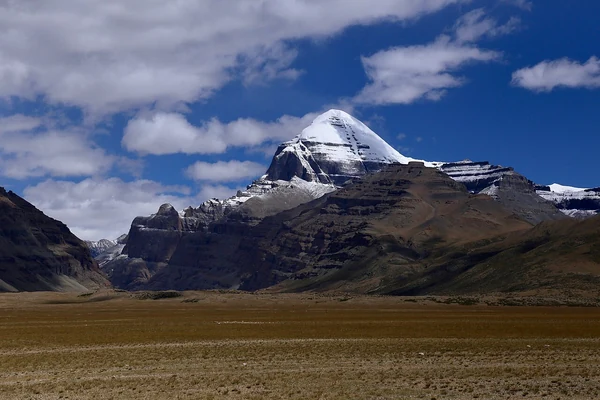
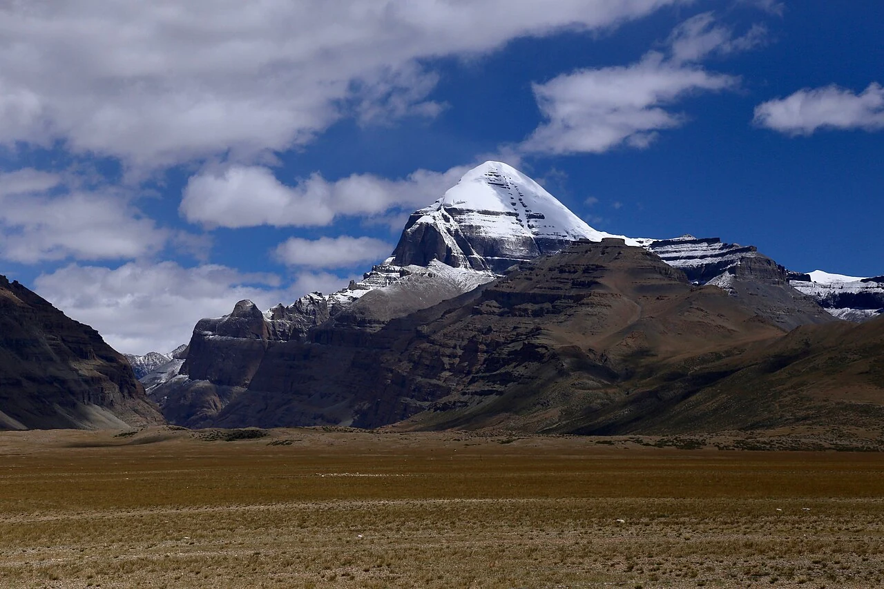
Mount Kailash is a shared sacred landscape, but not a shared single theology. Hindu, Buddhist, Jain and Bon traditions associate the mountain with different sacred histories, while pilgrimage practices bring distinct ways of moving around it into view.
Read ↗ 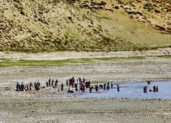
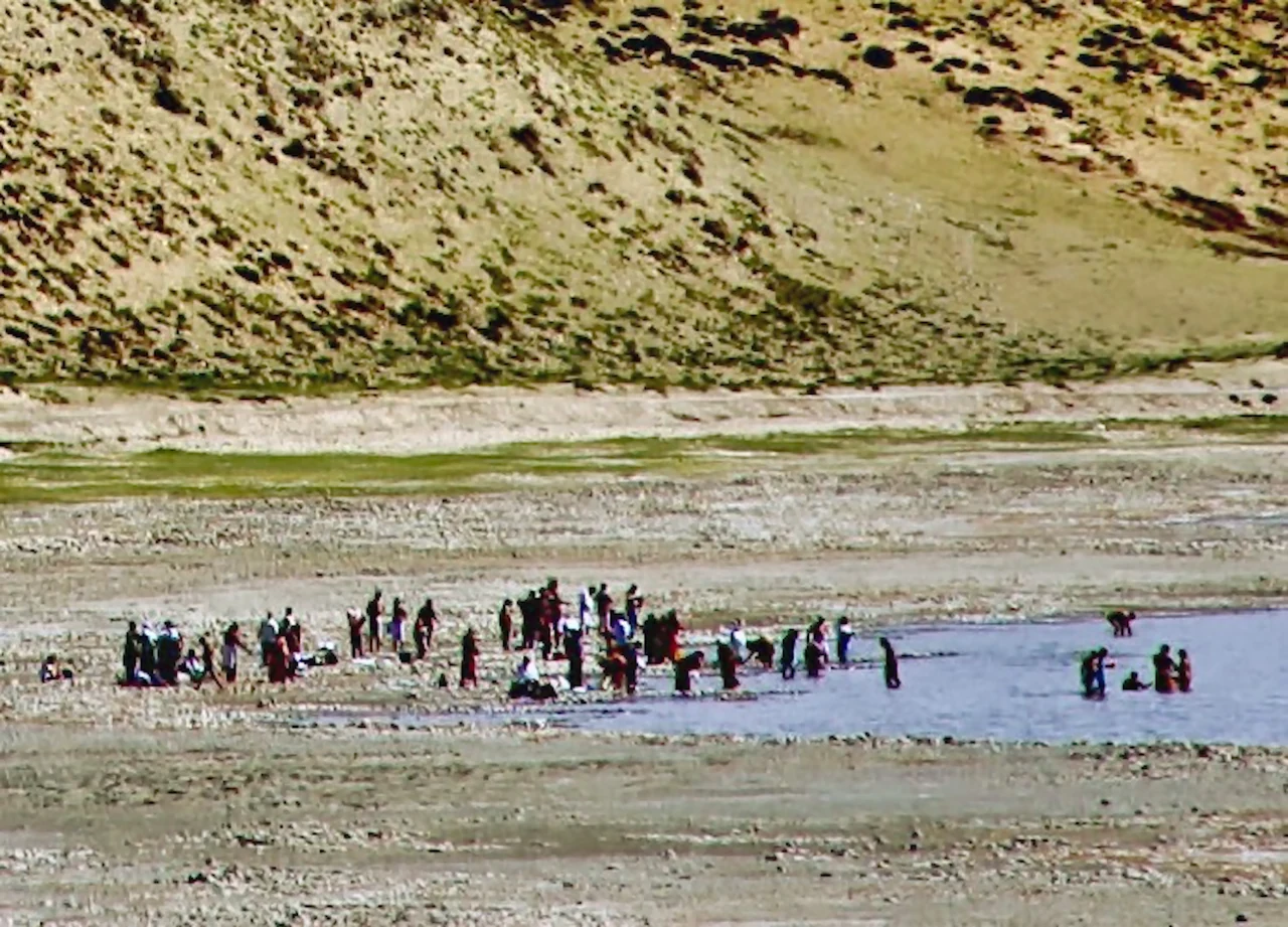
Manasarovar belongs at once to a high-altitude wetland system and to a living pilgrimage landscape. Government ecological records distinguish its freshwater from nearby saline Lhanag-tso, while accounts of pilgrimage show how people approach the water through particular religious practices.
Read ↗ Pangong Tso crosses the India–China border, but the KBA’s 2004 ecology profile covers its Indian western end. Rutog records tell a separate, local story of wetland care.
Read ↗ Rutog’s engraved animals have drawn researchers for decades, but the story of the rock art also includes the methods used to record it and the uncertainty of dating. A scholarly review shows how field surveys turned scattered images into a subject of sustained study.
Read ↗