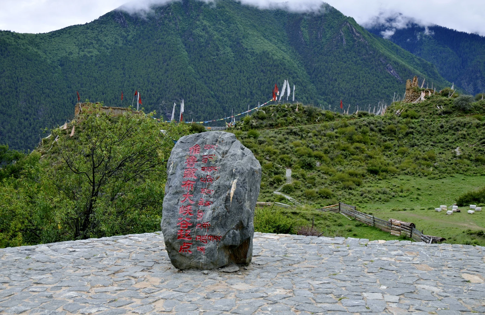
A Nyingchi municipal profile traces the Yarlung Tsangpo Grand Canyon from Daduka Village in Pai Township, Milin, south through the bend near Pailong and on to Baxika Village in Motuo. It gives the route a human geography: the canyon crosses from Milin into Motuo, and its main reach lies within Motuo. The profile’s stated endpoints are more useful than a superlative because they show where the river corridor begins and where it leaves the high mountain region.
The same municipal account reports a length of 504.6 kilometres, a maximum depth of 6,009 metres and an average depth of 2,268 metres, citing figures attributed to the national mapping authority. Those figures belong to that published account and its measurement method; they should not be mixed with figures for the separate Palong Tsangpo tributary canyon or used as if every point along the route had the same cross-section.