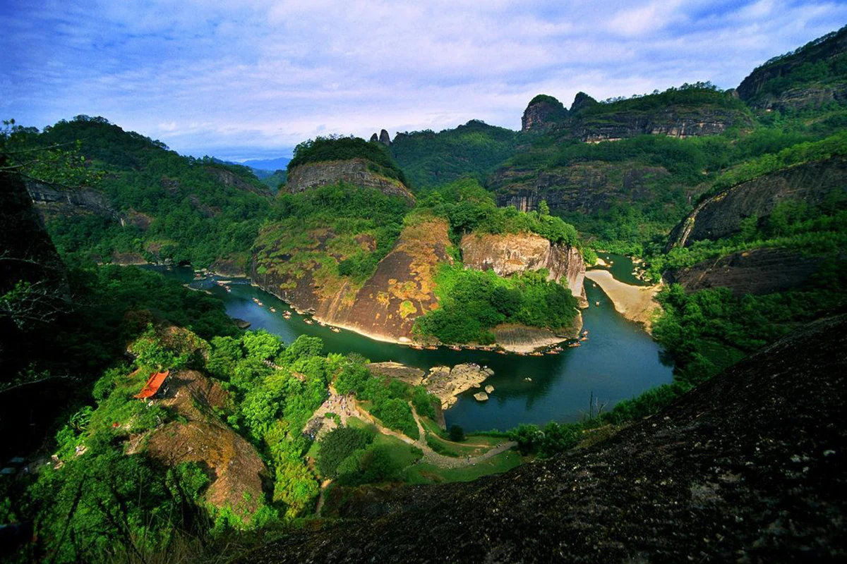
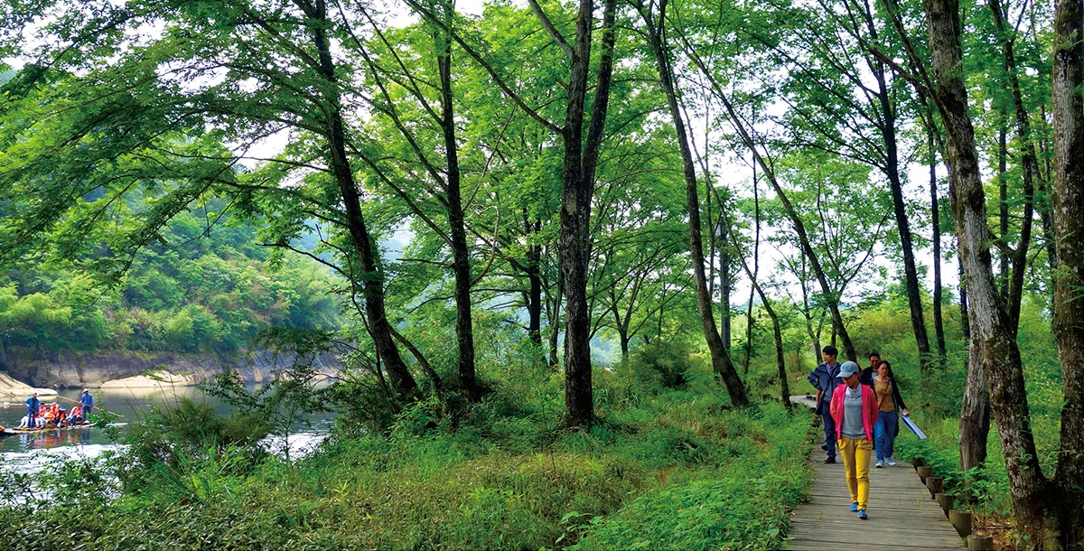
A map labelled Wuyishan may show a city, a long mountain range, a World Heritage property or a visitor area around the Nine-Bend Stream. Each can be useful, but they answer different questions. A scenic photograph provides still another frame, usually a tiny portion of the terrain.
The distinction matters because landscape identity and access operate at different scales. A mountain belongs to a geographical system. A heritage boundary identifies particular values to conserve. A national park organizes ecological protection and management. An authorized path tells a visitor where an activity is currently permitted. None of these can automatically substitute for the others.