The Home Affairs Department places a deep-water pier near the junction of Pei Ho Street and Tung Chau Street. Today the junction sits within an inland street network. The shift is striking: a waterfront name remains where the shoreline is no longer visible, and the city’s later ground covers the former edge of the sea.
From the journal
The Deep-water Pier Lost to Reclamation
Today’s inland streets preserve a name tied to a deepwater pier said to have stood near Pei Ho and Tung Chau streets.
In this district · Sham Shui Po ↗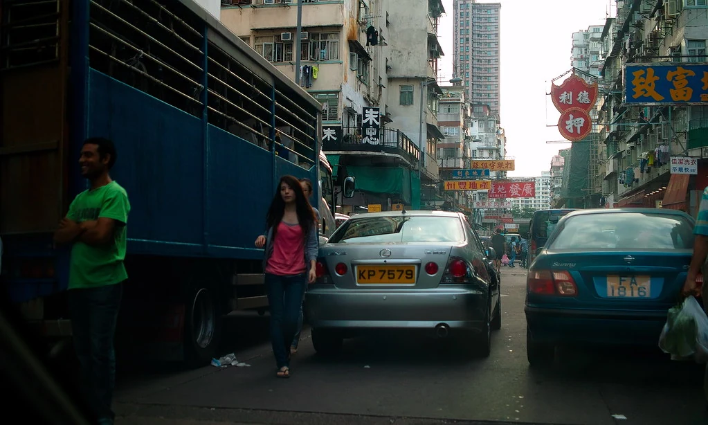
A pier hidden in an inland street grid
How reclamation moves a city edge
Reclamation shifted the coastline and covered the pier’s former setting. No visible trace of the structure remains at the junction. Reclamation did more than add land. It changed the relation between streets and water, turning former coastal edges into routes through a dense urban district. A landing place that once faced the water now lies within the street grid. The final character 埗 in Sham Shui Po refers to a landing place or pier, keeping an older coastal function in the place-name even though the waterfront has moved away.
Reading a place-name as a clue
The name Sham Shui Po is associated with a deep-water pier near this junction, while reclamation later shifted the coast. Read together, those details place the street corner within a former waterfront landscape. The pier’s story belongs to a shoreline that has since been reshaped by reclamation and urban construction.
A waterfront memory below street level
The lost pier matters because it changes how the present neighbourhood can be imagined. Pei Ho and Tung Chau streets are not simply roads in an old commercial district; their names sit within a landscape whose edge was remade. A vanished harbour can survive in vocabulary after its boats and landing places have gone. In Sham Shui Po, the pier is a modest trace of that transformation: the junction, the district name and a coastline that no longer touches the street corner. The streets now sit within an inland commercial district, where market activity fills the space once associated with the shore. The old relationship between land and water survives chiefly in the district’s name and the location recorded near this junction.