From the journal

Bianba’s Three-Colored Lakes: Names Along a Mountain Channel

An official Chamdo tourism profile locates three differently named lakes at Puyu Village and describes how they sit in relation to one another. Its account connects color names to shoreline and mineral observations, while leaving water chemistry and seasonal change for closer study.

In the same city · Chamdo ↗
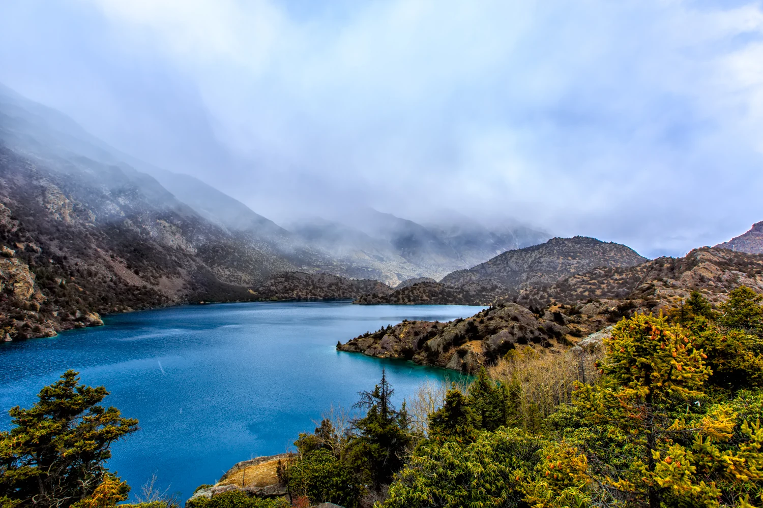
A blue mountain lake fringed by trees
A lake view illustrating the Bianba Three-Colored Lakes entry, updated in November 2025. The image is not used to identify all three lakes individually.

Three names on one slope

The Chamdo tourism bureau places the Three-Colored Lakes at Puyu Village, about 50 kilometres from Bianba County seat. Its 2025 profile describes three separate mountain-basin lakes—Black, White and Yellow—set in a pinwheel-like arrangement with low ridges between them. The names are not a single lake changing color in a photograph; they refer to three neighboring bodies of water with different shorelines and connections.

That geography gives the names a physical sequence. Water from Black Lake passes through a narrow rock opening into White Lake, which lies below it and drains onward toward the upper Nu River. Yellow Lake, the smallest, is described as closed and separate. Before a visitor asks why the water looks dark, pale or yellow, the page invites another question: how do these basins sit beside one another on the same mountain slope?

A shoreline becomes a description

The bureau’s account links Black Lake’s name to dark rock entering the water and a deep, shadowed appearance. White Lake is shallower and more open in the description, with pale sand and gravel around its edge. Yellow Lake is said to have cloudy water and yellow-colored minerals. These are useful observations from a tourism profile, but they are not a laboratory analysis of pigments, dissolved minerals, light, or seasonal mixing.

The distinction matters because a color name can be both a local orientation and a visual summary. At Black Lake, the page emphasizes rock and depth; at White Lake, the exposed shore; at Yellow Lake, suspended material. The same word—“color”—therefore points toward different features. Without water samples and observations repeated through the year, the source cannot tell us how stable each appearance is or which physical processes dominate it.

What a careful visit can record

The profile gives the three lakes a combined area of about 150,000 square metres and says Black Lake accounts for roughly 100,000. Those figures belong to the published tourism account, not to a recent hydrological survey cited in the article. It also describes azaleas, forest and old fortifications in the scenic area, setting the lakes within a wider walk rather than isolating them as a color trick.

A useful field note would record the date, viewpoint, weather, water level and which shoreline is visible. It would keep the names intact while allowing the appearance to vary from one visit to another. A scientific explanation would need a different kind of evidence: measured water chemistry, sediment information and seasonal observations. For now, the official account is most compelling as a map of three neighboring basins—one dark against rock, one pale at its open shore, and one set apart—whose names begin the story without finishing it.

Continue exploring · Bianba Three-Coloured Lakes ↗
Photo credits and rights
  1. A lake view illustrating the Bianba Three-Colored Lakes entry, updated in November 2025. The image is not used to identify all three lakes individually.Source report; no individual photographer identified · No independent image licence established; private editorial research only Photo source ↗ Rights information ↗