Possession Point was formerly known as Tai Hang Hau, a name linked to the watercourse that carried streams from Mount Possession toward Victoria Harbour. The place-name gives a clue to the older landscape: before dense streets and engineered drainage, water moved down the slope toward the shore. The Antiquities and Monuments Office records the area as the landing place where British forces came ashore in 1841.
From the journal
Possession Point and Sheung Wan’s Changing Shoreline
The names Possession Point and Tai Tat Tei preserve traces of streams, a former coast, military use and a later public park in Sheung Wan.
In this district · Central and Western ↗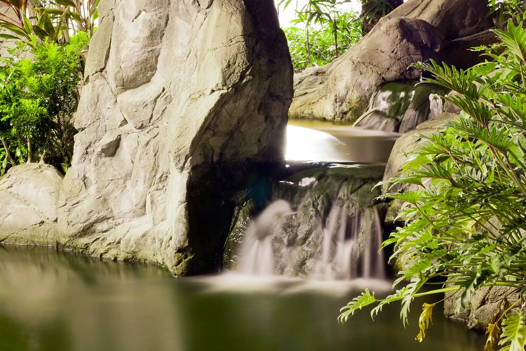
A stream that named a place
Tai Tat Tei’s changing uses
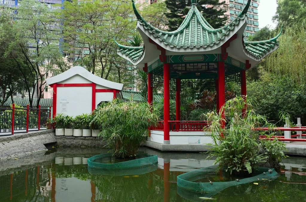
Nearby Tai Tat Tei began as a small hill by the shore. The site later served as a military camp and a market before becoming Hollywood Road Park. This sequence makes a small public space a record of major urban changes: the harbour edge shifted, land uses changed, and the city absorbed earlier terrain into a dense street grid. Each stage left a different kind of memory.
A walk across an altered coast
The two places are useful together because they reveal different parts of Sheung Wan’s transformation. One name points to a stream and landing; the other marks a coastal hill that became a camp, market and park. The former shoreline can be imagined against the present-day streets and park. Even without reconstructing every boundary, the recorded sequence helps readers imagine how much of the present city rests on a remade edge.