The story of Ping Shan’s Tang clan is told through a pattern of villages rather than a single ancestral building. The Antiquities and Monuments Office traces the lineage’s movement from Kam Tin to Ping Shan in the twelfth century. After settling here, the clan established what is known as “Three Wais and Six Tsuens”: three walled villages—Sheung Cheung Wai, Kiu Tau Wai and Fui Sha Wai—and six villages, including Hang Tau Tsuen and Hang Mei Tsuen. The names describe a landscape of related but distinct settlements. A wai was enclosed; a tsuen was a village. Together they formed a network within which families built places for worship, education and collective life. Within Ping Shan, the names remain a map of one clan’s local history and its expansion across a particular area.
From the journal
Three Wais and Six Tsuens: A Tang Clan Landscape in Ping Shan
Ping Shan’s three walled villages and six villages form a local history of settlement, worship, gathering and education.
In this district · Yuen Long ↗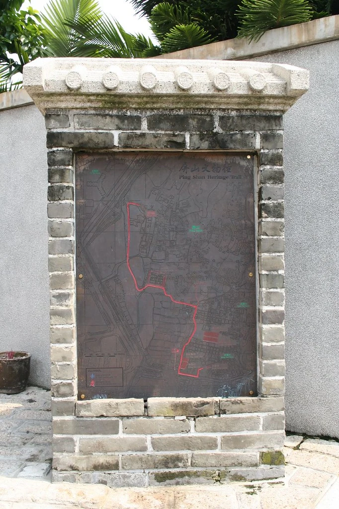
A lineage takes root
Buildings for shared life
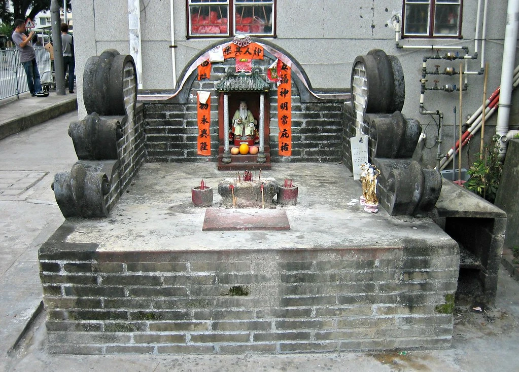
As the clan established its villages, it also built ancestral halls, temples, study halls and a pagoda. These structures served different purposes: ancestral worship, clan gathering and education. Their variety matters. A study hall suggests a place organized around learning; an ancestral hall connected family identity to ritual; temples gave religious practice a local home. The trail’s buildings are therefore not merely a collection of old façades. They are traces of how a settlement organized shared responsibilities and memory. One can still see how a landscape gains meaning from the relationships among its structures.
A trail made with residents
The Ping Shan Heritage Trail opened in 1993 and links historic buildings across Hang Mei Tsuen, Hang Tau Tsuen and Sheung Cheung Wai. The Antiquities and Monuments Office notes that the project depended on the support and cooperation of the local Tang clan. That detail is part of the trail’s story: the route was not simply laid over a village landscape by outside planners. It was brought into being with residents’ cooperation. The official trail is about 1.6 kilometres long, but its importance is not measured by distance. It brings several kinds of buildings into a shared frame, allowing visitors to see how worship, education and settlement sit close together. Some historic buildings may not be open, and opening arrangements can change, so the village remains a lived place as well as a heritage landscape. The trail offers a way to read Ping Shan’s layered settlement, provided that visitors remember that homes and community life continue beyond the monuments.