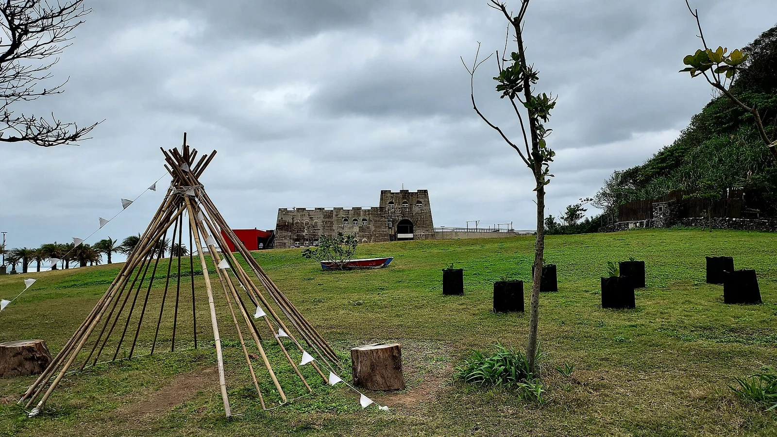
Heping Island lies about 75 metres from the Keelung shore, close enough for a bridge. The Basai people who lived here called it tuman. In the sixteenth century Han sailors knew it as Da Jilong Yu, Great Keelung Island, and in the 1870s it was renamed Sheliao to distinguish it from the smaller island offshore. The Spanish landed in 1626 and built Fort San Salvador, the first European fort in northern Taiwan. The Dutch took the site in 1642. The island later became a fishing village and, after 1945, a military area; its present name, Peace Island, dates from the postwar period. The layers of naming are a fair summary of the place: indigenous, European, Chinese and military, all within a few hundred metres.
From the journal
The island across the bridge
Heping Island is a short bridge from Keelung, with a wave-cut platform of mushroom rocks and the site of a seventeenth-century Spanish fort.
In the same city · Keelung ↗An island with several names

The sea cuts the platform
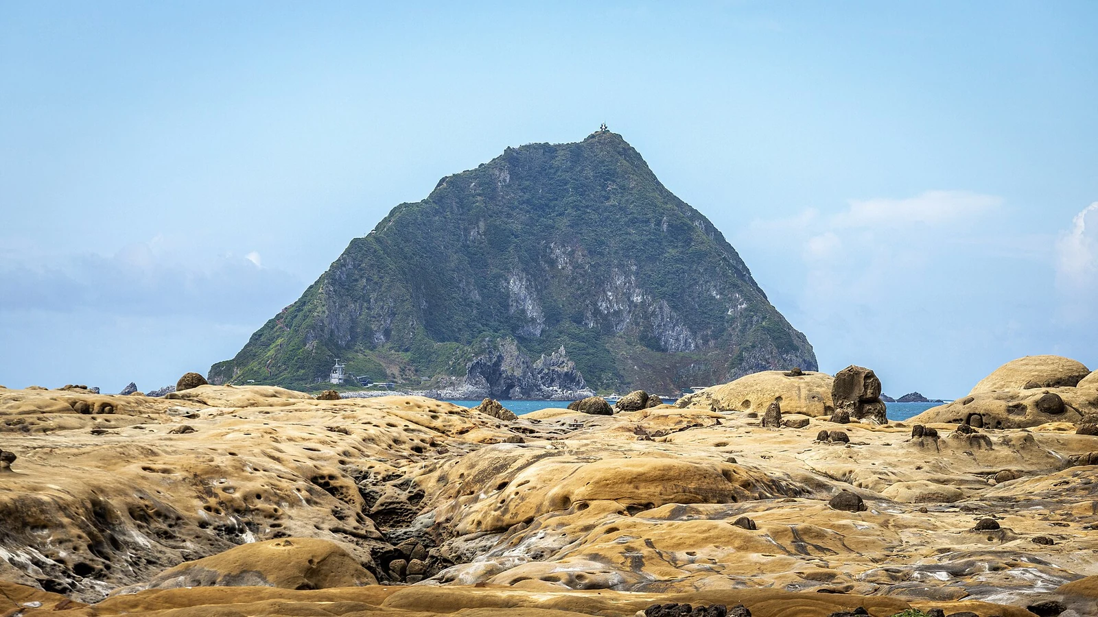
The north coast of Heping Island is a wave-cut platform. The rock is sandstone and shale, tilted and jointed, and the sea has worn it into a flat shelf at low tide. The surface is pitted with pools and channels, and the harder nodules stand up as mushroom rocks. Local names describe the shapes: tofu rocks, mushroom rocks, and Qiandie Fu (千疊敷), a broad, stepped rock platform where the bedding planes show as parallel lines. At low tide visitors can walk on the platform, but the rock is slippery and the sea is close. The platform is part of a geopark, with a visitor centre and a marked route. It is one of the few places in northern Taiwan where the structure of the rock is so easy to read at walking pace.
A park and a fishing harbour
The geopark combines the rock platform with a swimming area, a small fishing harbour and a cluster of seafood stalls. The swimming pool is built into the rock at the edge of the sea, and the water is refreshed by the tide. Fishermen still work from the harbour, and the stalls sell the catch. Above the shore, the island's lanes are residential and quiet, with temples and low houses. The Spanish fort site is marked but not reconstructed; the foundations are modest, and the view from the hill is the main thing that remains. Allow half a day to explore. Only a few hundred metres from Keelung’s busy harbour, life on the island moves at a gentler pace.