Hong Kong’s tram began operating in 1904 along the north shore of the island. Its east–west line ties together districts that are often discussed separately, making the tram a moving cross-section of the urban waterfront. The track is more than a transport mark: it fixes a route through streets where shops, homes and public buildings face one another at close range.
From the journal
The Tram and Hong Kong Island’s North Shore
Since 1904, the tram has linked the island’s northern districts and helped make the street itself a shared, east–west public space.
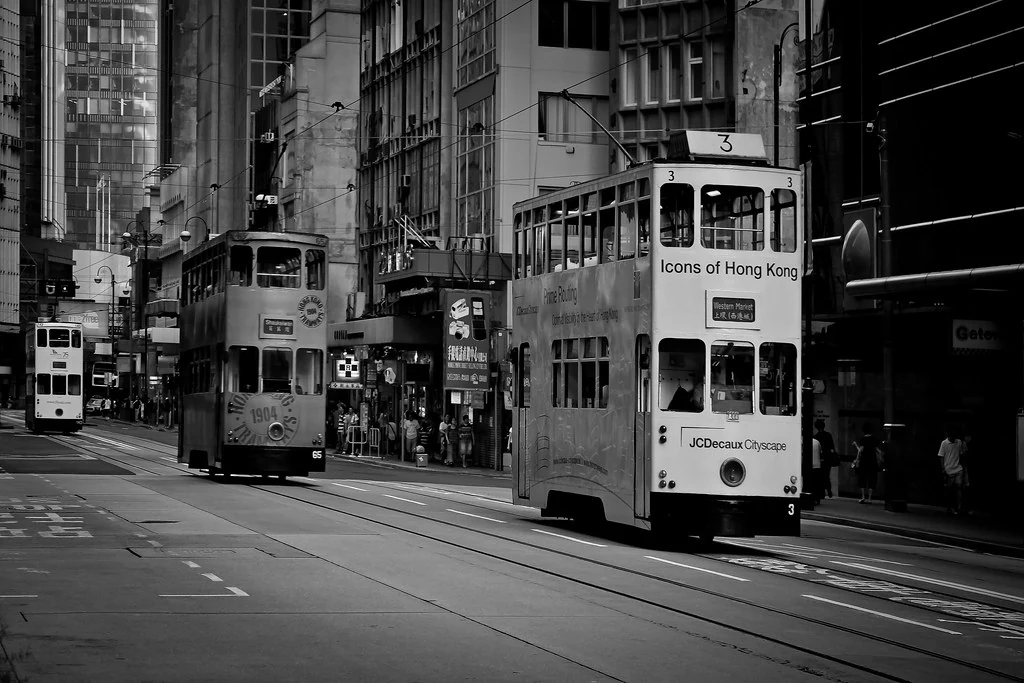
A route laid across the island
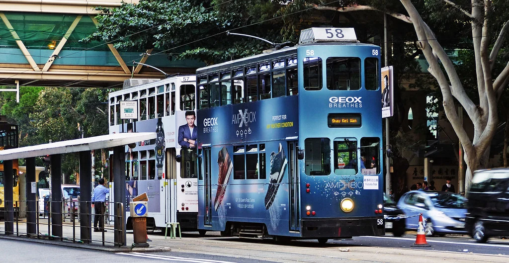
A familiar vehicle in a changing city
A century of service does not mean a century without change. Buildings, street widths, traffic and the shoreline have all been reshaped around the tram. Yet the line’s continuing presence offers a rare way to notice those changes at street level. The slow passage through successive neighbourhoods makes contrasts visible: commercial blocks, older shopfronts and dense residential streets appear as parts of one connected island city.
Reading the city from the rails
The tram’s history is best understood through the public space it occupies. Its route puts daily movement in view and gives the north shore a common east–west spine. Company records can establish when the service began; the lived meanings of the route belong to the people who drive, maintain and ride it. Together, those perspectives turn a familiar vehicle into a story about how urban routine is built and rebuilt.