Tai Lam Chung Reservoir began as a postwar infrastructure project. Construction commenced in 1951, and the main dam was a major part of the work. The Agriculture, Fisheries and Conservation Department describes it as Hong Kong’s first water storage facility built after the war. Today the reservoir is part of Tai Lam Country Park, but its water was originally tied to a territory-wide supply system. Pipelines carried water beyond the valley, connecting the reservoir with Kowloon and the wider network. A lake viewed from a path can seem like a natural feature, yet this one is also an engineered landscape with a dam, catchwater and water-supply infrastructure. The surrounding country park covers a large part of the western New Territories, extending between Tsuen Wan and Tuen Mun. Its boundaries take in hills, reservoirs and settlements, so the water body belongs to a broader story of regional planning.
From the journal
Tai Lam: Reservoir Water and a Forest Rebuilt
Tai Lam’s reservoirs and woodlands grew from postwar water infrastructure and afforestation on eroded hills.
In this district · Tuen Mun ↗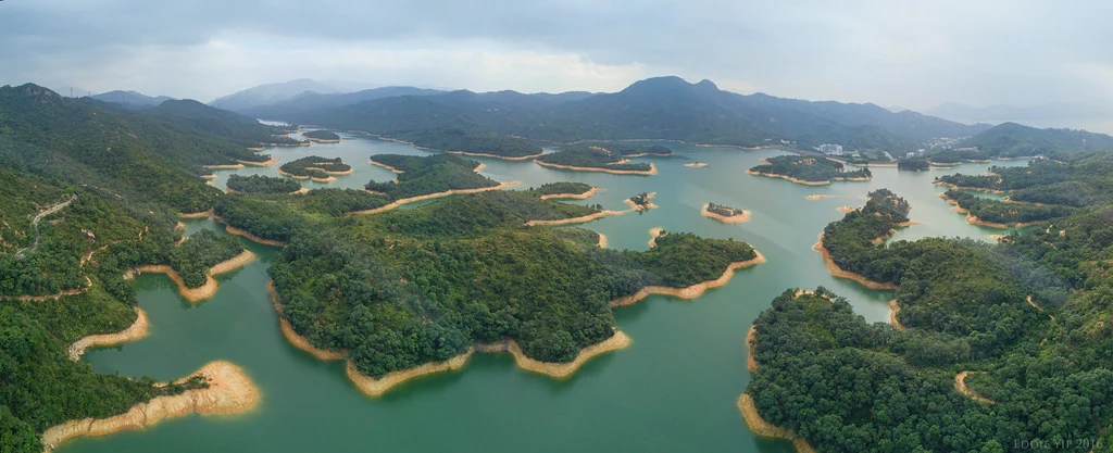
Water storage after the war
A landscape exposed to erosion
The hills around Tai Lam are largely granite, and the AFCD describes clear signs of degradation and erosion. In the years before large-scale afforestation, the country park’s hilltops were barren and its ravines badly eroded. After the reservoir was completed, planting began in 1952 to protect catchments from soil loss. That chronology makes the forest a part of water management: trees were planted not only to create shade or scenery but to help hold the slopes. The work faced poor soil and frequent hill fires. Gradually, planted species established themselves, and the vegetation visible today grew from those efforts. Taiwan acacia, Brisbane box, Chinese red pine and other trees now cover much of the park, while native oaks, machilus and Castanopsis have opportunities to regenerate. This is a forest with a layered origin—part ecological succession, part response to the needs of a reservoir.
The reservoir’s islanded view
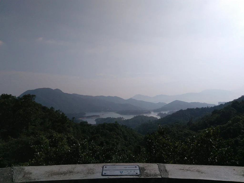
Tai Lam Country Park contains seven reservoirs and settlement basins. Tai Lam Chung is the largest, and its scattered islets create the view popularly nicknamed Thousand-Island Lake. The nickname describes a sight rather than a separate body of water: little islands rise from a reservoir whose shape was formed by water infrastructure. The AFCD names several trails and viewpoints where people encounter this landscape, including routes that pass along the reservoir’s banks. The ecological and recreational histories meet here. Afforestation protected the catchment, forests returned to the slopes, and the reservoir became part of a broader country park landscape. Tai Lam’s landscape grew from a postwar reservoir project, erosion control through planting and the forest that developed under those conditions. The water and trees continue to show how infrastructure and conservation have shaped this corner of the New Territories.