The Civil Engineering and Development Department records that Sha Tin’s new-town plan began in the early 1960s and that later development relied mainly on land reclaimed from Tolo Harbour. The Shing Mun River channel is part of that transformation. It is not simply a natural river passing through an urban district: its present form belongs to a planned landscape that reshaped the coast and created room for new communities. This change helps explain why the river occupies such a central place in Sha Tin’s geography today.
From the journal
The Shing Mun River and the Making of Sha Tin
Sha Tin’s Shing Mun River is a planned channel through a landscape once shaped by Tide Cove. Reclamation and new-town development transformed the river’s form and the valley around it.
In this district · Sha Tin ↗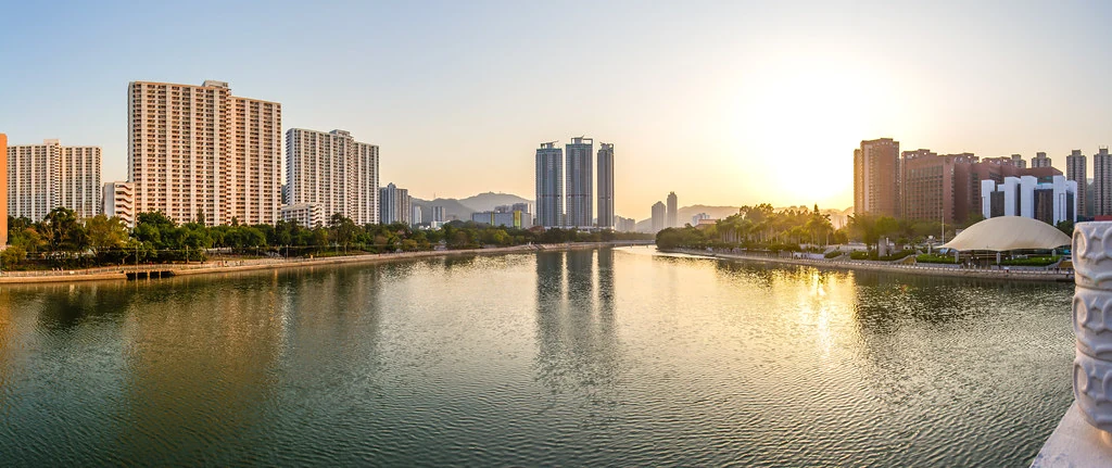
A waterway made through reclamation
From rural township to major community
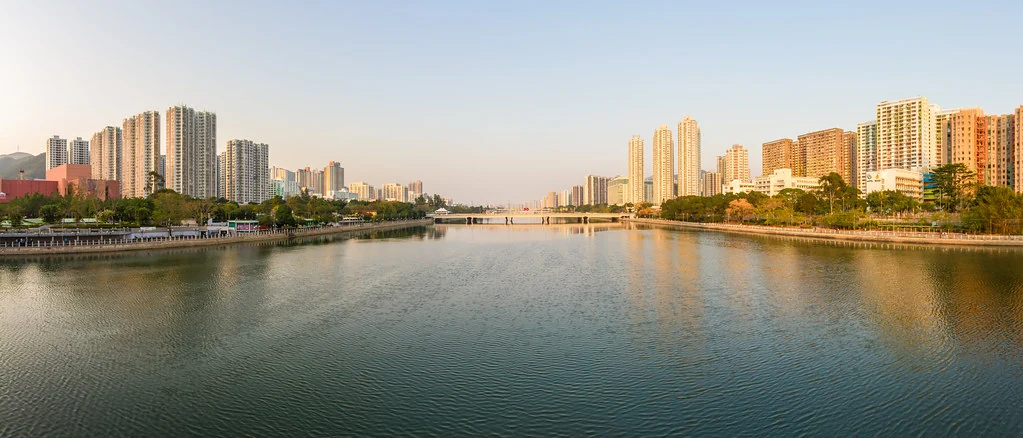
CEDD describes Sha Tin as a rural township of about 30,000 people in the early 1970s that grew into a major community. Its account places the new town within a broader programme of infrastructure and housing. The river corridor links districts and town centres, but its modern shape also speaks to the scale of engineering that made the new settlement possible. The landscape around the channel has become urban, and the river now serves as both infrastructure and public space. Those roles coexist rather than cancel each other.
A civic landscape with a past
The Shing Mun River is often encountered through promenades, bridges and leisure areas. The development record adds another layer: its setting was altered as the town expanded across reclaimed land. The expansion of Sha Tin across reclaimed land reshaped the river corridor alongside the new town. Bridges, promenades and leisure spaces show how the waterway became part of daily civic life. Its engineered channel and public spaces now share the same urban setting. The waterway is a reminder that urban landscapes are built through decisions about land and water, then adopted as everyday civic space.