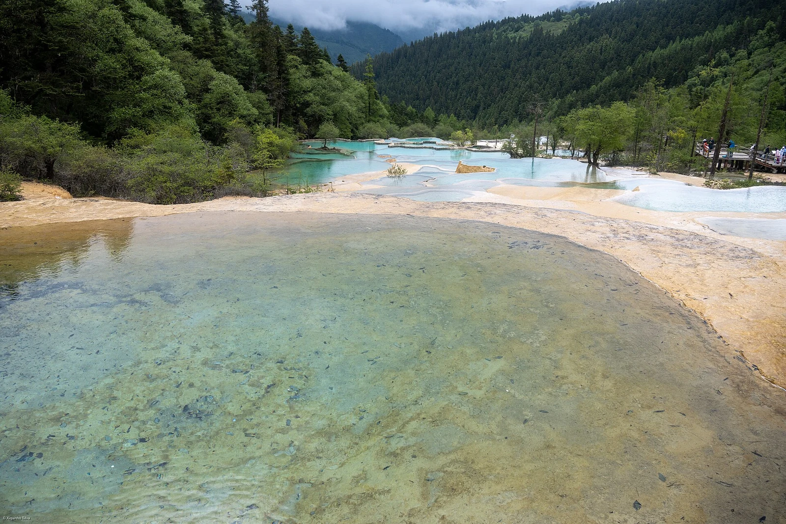
A staircase of water
The valley runs from 3,578 metres down to about 2,200, a distance of 7.5 kilometres. Along it, about 3,400 shallow pools are separated by lips of travertine. Water flows over each lip, loses carbon dioxide and deposits calcium carbonate, so the barriers grow slowly upward and outward. The pools are not static: they fill with sediment, change shape and sometimes disappear. The colour comes from the mineral floor, the depth and the sky, not from dye or paint.
The mountain above
Xuebaoding, at 5,588 metres, is the highest point of the reserve and the source of the water. The protected area covers 138,000 hectares, with a core zone, a buffer zone and a small transition area. Forest, alpine meadow and rock are stacked in bands. Giant pandas, golden monkeys and takin live in the reserve, although the visitor route sees only a fraction of the habitat. The valley is a narrow window into a much larger mountain system.
Water, weather and a festival
Huanglong joined the UNESCO biosphere reserve network in 2000 and is also a World Heritage site. The best months for water are not necessarily the warmest: spring melt and summer rain both change the flow. At the lower end of the valley, three temples stand along the route, and the local calendar includes the Munigou Zhuojin festival in the fifth lunar month and a temple fair in the sixth. These are living occasions, not stage shows, and they follow the lunar calendar rather than the tourist season.