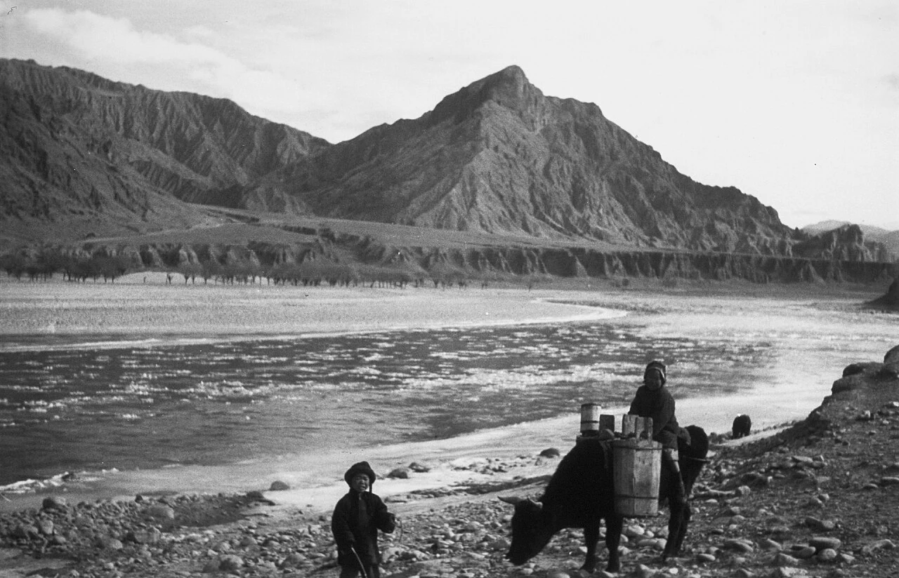
A county ordinance published in 2018 lists Jiezixiang among the administrative units of Xunhua Salar Autonomous County. An older account of Salar history uses a different map. It describes the Qing-era “gong” as a unit that grouped villages, centered on the county seat and divided into western and eastern sets. The west was called “upper” and the east “lower” because the Huanghe River flows from west to east through this valley. In the earlier Twelve Gong arrangement, Jiezi was listed among the western units.
From the journal
Jiezi in Two Maps: The Historical Salar Gong
Jiezi appears in two different maps of Xunhua: a 2018-published county ordinance lists it as a township, while an older Salar historical account names it among the western gong. The Huanghe River explains the older orientation.
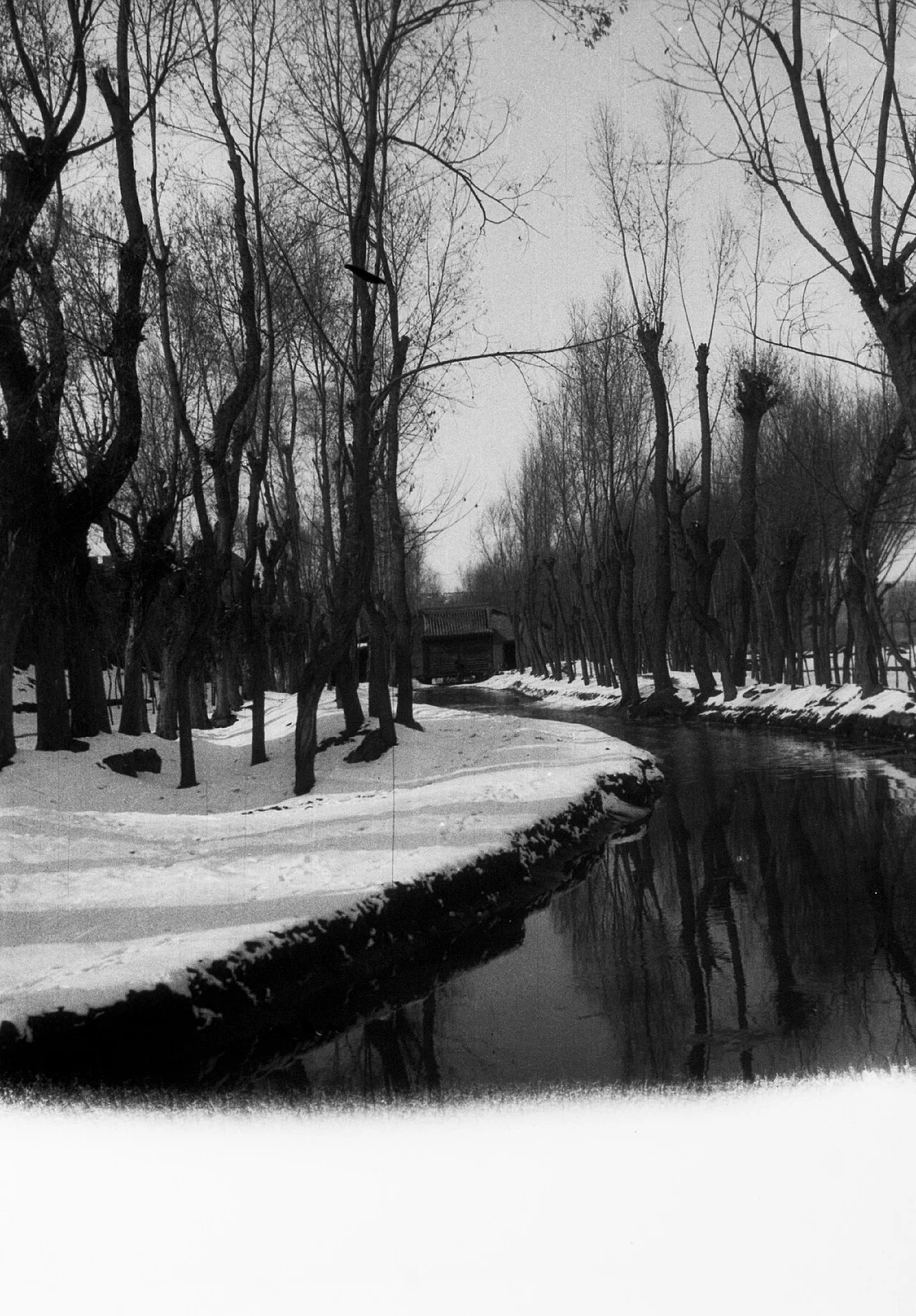
The river’s upper and lower settlements
Village groupings across time
The historical account traces the first Twelve Gong to the Yongzheng period and describes them as groups of villages, not modern county townships. Its west-side list includes Jiezi, Caotanba, Chajia, Bie lie, Chahandasi and Suji; the eastern list includes Qingshui, Mengda and other settlements. When the grouping changed, Caotanba and Bie lie were combined with neighboring units, and the historical labels settled into the Upper Four and Lower Four. The river’s west-to-east course supplied the directional logic behind “upper” and “lower.”
The ordinance published in 2018 lists Jiezi Township within Xunhua Salar Autonomous County. The historic gong grouped villages in another administrative system. Reading the names together shows how an older regional geography survives beside a modern township map, with the river supplying the directional logic of upper and lower.