The upper Kosi basin crosses the Tibetan Plateau, where the Pengqu runs broadly east to west. Farther south, the Arun cuts north to south through the Himalaya. A 2024 study by a team at China University of Geosciences, Beijing, and British collaborators examined the unusual shape of this drainage system. The difference in direction is a clue to an older rearrangement: the river network now visible on maps may preserve the result of one river taking the headwaters of another.
From the journal
The River That Helped Lift Everest
A 2024 study links ancient river capture in the Kosi basin to a modest but measurable contribution to Everest’s uplift, alongside the far larger force of tectonic collision.
In the same city · Shigatse ↗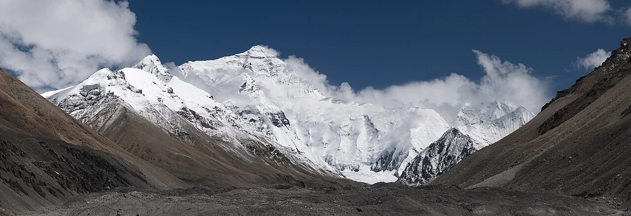
Two river directions meet in the Kosi basin
A capture reconstructed in deep time
The team compared the modern river profiles and used field observations, an erosion model and nonlinear inversion to reconstruct the past. Its best-fit model places the capture of the ancient Pengqu by the Arun at about 89,000 years ago. In the model, the change gave the lower river a larger upstream catchment and more water. The Arun then cut more rapidly into the landscape below the capture point, with a modeled maximum incision rate of 12 millimetres a year.
Erosion, rebound and a higher summit
As a river cuts downward, it removes rock and changes the weight carried by the crust. The study argues that the surrounding rocks responded through isostatic rebound, adding an estimated 0.2 to 0.5 millimetres per year to Everest’s uplift rate. Its model attributes roughly 15 to 50 metres of the mountain’s exceptional height to this process. The values describe the team’s model-based estimate of the river process’s contribution to the summit’s uplift. The result links a shift in drainage to change on a much larger vertical scale.
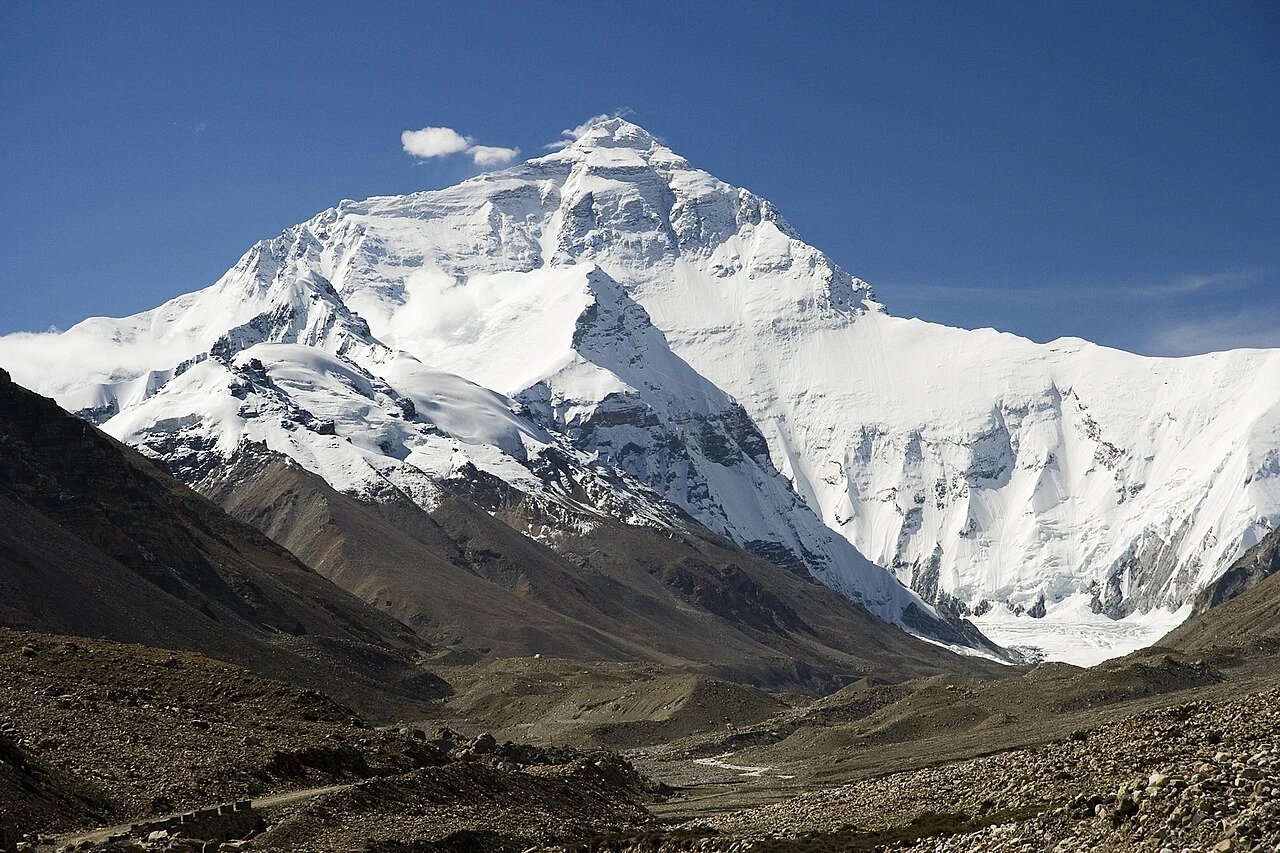
A river story within a tectonic mountain range
The study keeps the river mechanism in proportion: tectonic collision between the Indian and Eurasian plates remains the principal force behind Himalayan uplift. River capture adds a more localized process to that account, helping explain why Everest may stand higher than neighboring peaks within the same range. The 89,000-year estimate, incision rate and uplift contribution all come from the team’s reconstruction. Together they make a striking geological story in which a rearranged river system leaves a lasting mark on the skyline above Dingri. The same study says nearby Lhotse and Makalu experienced similar uplift, linking the river history to several of the range’s highest peaks.