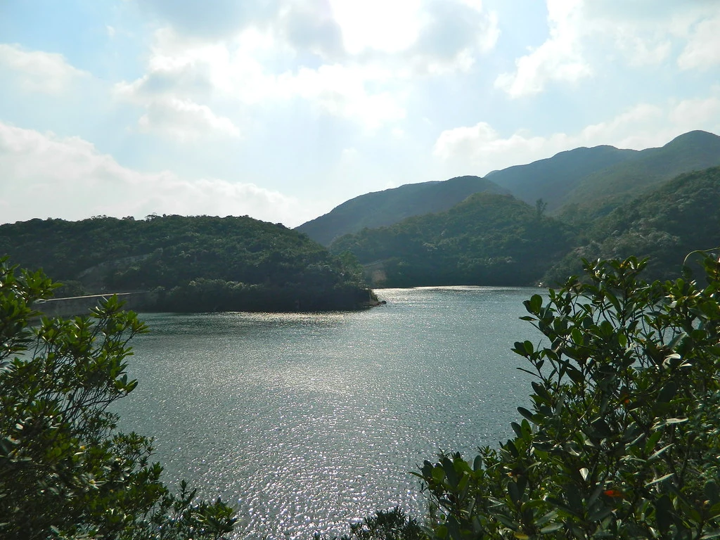
Tai Tam is not one reservoir but a group of waterworks assembled over decades. The upper reservoir was completed in 1888, while the larger scheme’s facilities were built in stages from 1883 to 1917. Dams, catchment areas and related structures formed part of a planned water system, making the landscape a record of public engineering rather than a picturesque collection of isolated stone features.
From the journal
Tai Tam Waterworks and the Eastward City
Tai Tam’s reservoirs and associated works were built in stages between 1883 and 1917 as Hong Kong expanded its water supply.
In this district · Eastern ↗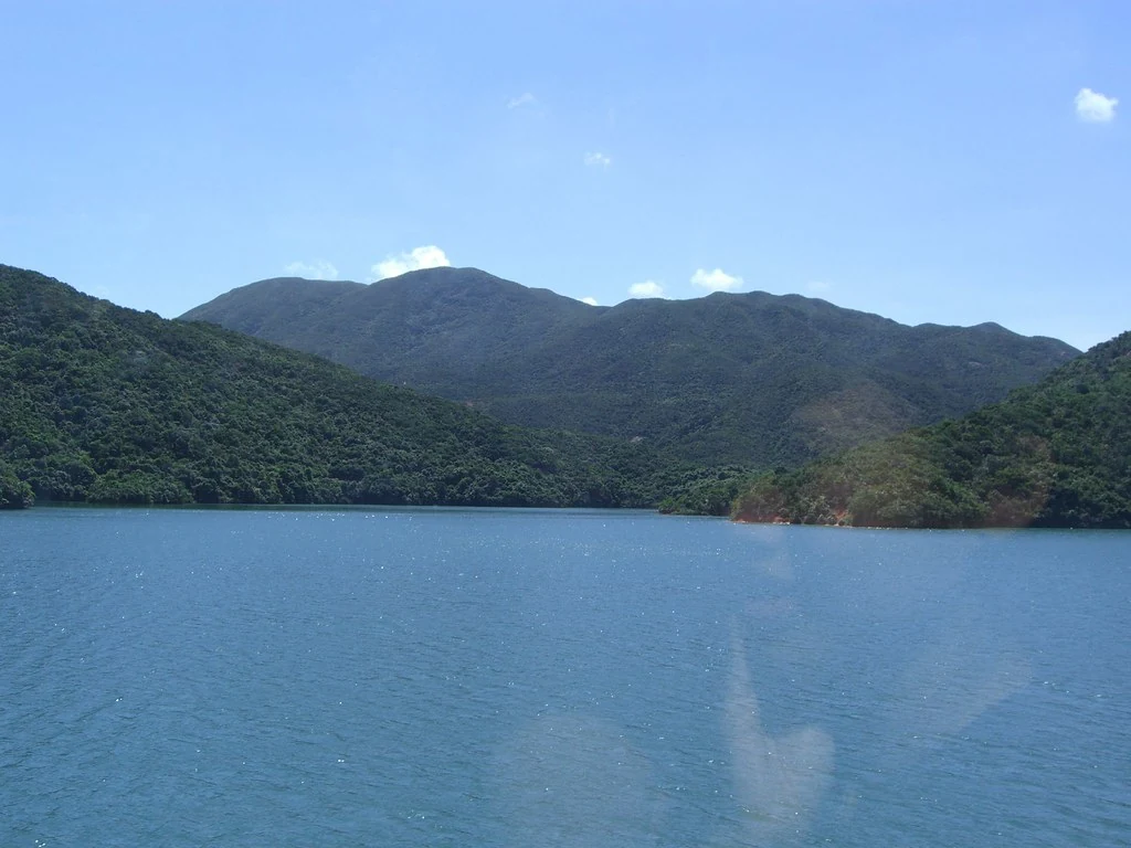
A system built in stages
Water and urban expansion
The Antiquities and Monuments Office connects improved water supply with the gradual eastward expansion of built-up areas on Hong Kong Island. That relationship makes sense as an enabling condition: a growing urban population needed reliable water. It does not mean reservoirs alone caused the city’s expansion. Roads, industry, housing and economic change shaped development alongside the water supply, giving the eastern districts a history of many forces at work together.
Reading infrastructure in the landscape
Tai Tam’s masonry dams and waterworks invite attention to the practical choices behind city growth. Reservoirs store water; channels and infrastructure carry it toward people and businesses. Their survival allows a modern visitor to see part of a system that usually disappears from daily thought once water reaches a tap. The history becomes richer when engineering records and population maps are set beside the structures themselves.