From the journal

Namtso: One Lake across Two County Landscapes

Namtso lies between Damxung in Lhasa and Baingoin in Nagqu; its shores connect highland scenery with the everyday work of caring for a lake.

In the same city · Lhasa ↗
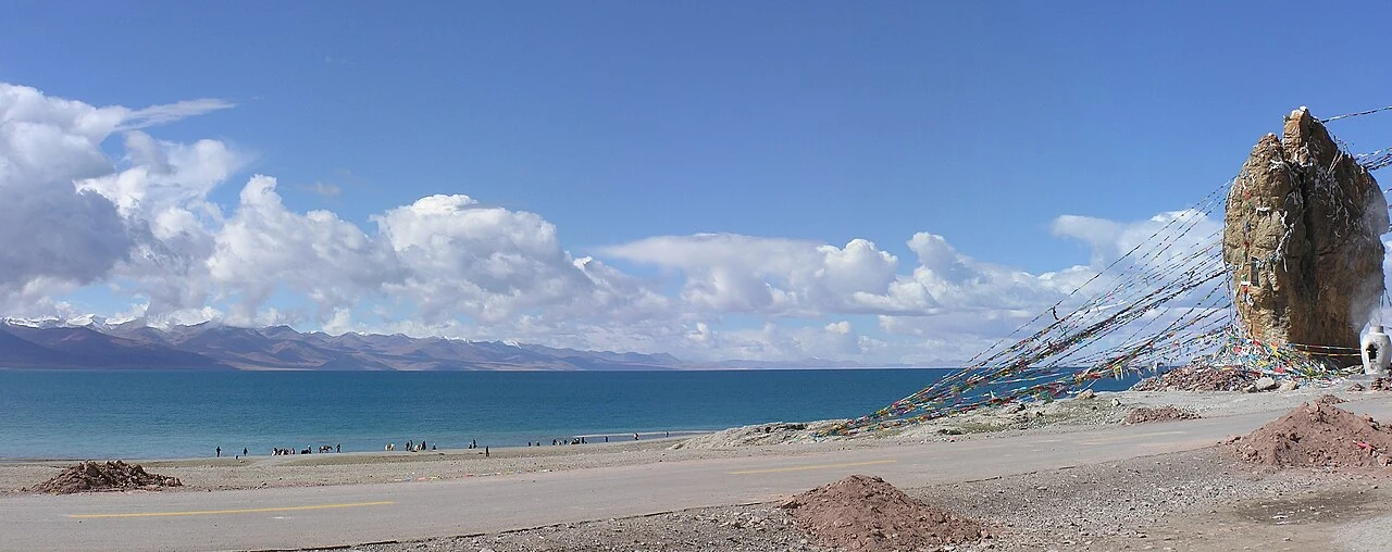
Namtso stretches toward distant mountains beside a rock draped with prayer flags.
Water, shore and a flag-draped rock share this wide view of Namtso.

The water continues across the map

Namtso lies in both Damxung County, within Lhasa, and Baingoin County, within Nagqu. An administrative line divides the surrounding territory, but the lake is a continuous body of water. That distinction matters when naming a photograph or telling a story about a particular shore.

The lake occupies the high Tibetan Plateau, where open water, grassland and distant mountains enter the same view. A shoreline photograph gives one relationship between them; a wider map reveals how much of the lake remains beyond the frame. The familiar name belongs to more than a single viewpoint or visitor area.
A clean shore requires repeated work

A May 2026 Tibet Daily report, republished by the regional water authority, describes lake care on the Damxung side. Staff gather in the morning before cleaning the lakeside and footpaths. Household waste moves through a chain of village collection, township transport and county-level treatment.

These ordinary operations connect tourism with the infrastructure around it. A lake visit produces needs beyond the view itself: waste has to be removed, facilities maintained and people employed. In the report, local recruitment for cleaning, security and interpretation brings residents into the operation of the scenic area.

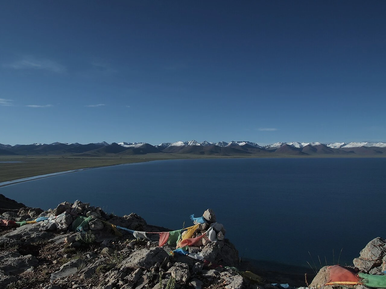
Dark blue lake water and a distant mountain range are seen beyond foreground stones.
A second view gives Namtso a different relationship with its rocky foreground.

The lake is also an observed environment

The same report describes satellite remote sensing used to follow grassland vegetation and changes in the lake’s water area. Such observation extends attention beyond the part of the shore visible to a visitor. It places individual scenes within a larger, changing environment.

Namtso’s scale is therefore both geographical and practical. It spans two counties and two prefecture-level units, while its care depends on particular teams and routines. A wide view can express the lake’s openness; the work beside the water explains something of what sustains the place encountered in that view.

Continue exploring · Namtso ↗
Photo credits and rights
  1. Nam Co and a holy rock on the shore. The photograph identifies the lake, not a specific county shoreline. Peter Vigier, 2005-09-24, CC BY 2.5.Peter Vigier · CC BY 2.5 Photo source ↗ Rights information ↗
  2. A second view gives Namtso a different relationship with its rocky foreground.yuen yan · CC BY-SA 2.0 Photo source ↗ Rights information ↗