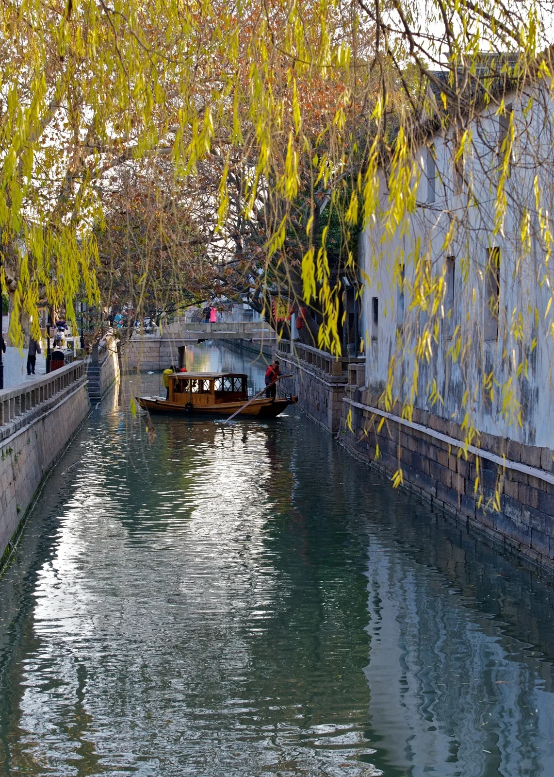
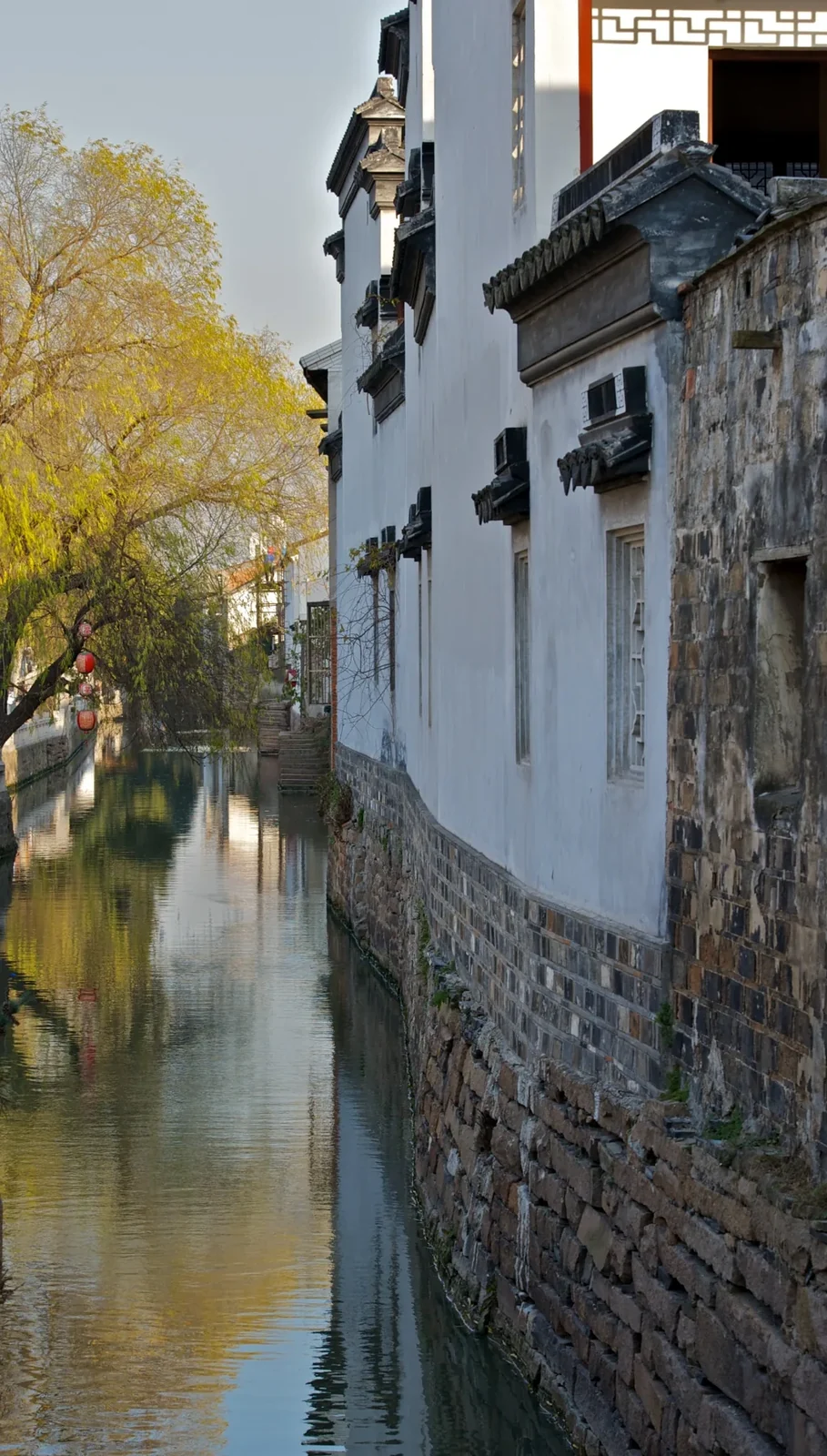
In 1229, the official Li Shoupeng commissioned the engraving of a map of Pingjiang, the name then used for Suzhou. His tenure was short, but the map became an enduring record of the city. It offers a way of thinking about the district that is more revealing than calling it an old-fashioned shopping street.
A map asks how the pieces fit together. On Pingjiang Road, notice the relationship between the canal, the street beside it and the lanes entering from either side. The point is not that every present building is medieval. What survives remarkably clearly is a way of arranging a city around parallel networks of land and water.