From the journal

Madoi’s Lakes: What a 2019 Count Can Tell Us

A 2019 report contrasts lake losses during the late twentieth century with a later county count of lakes and ponds, showing why every figure needs its date and measure.

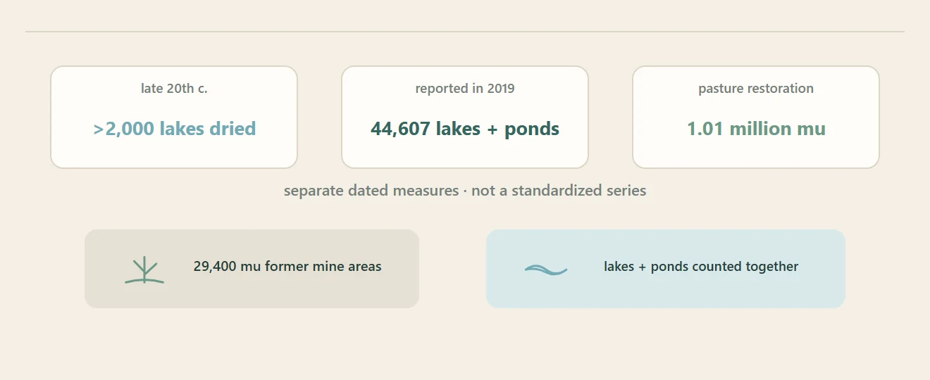
A 2019 account gives dated lake figures and restoration areas; the counts are not a standardized series. Original editorial diagram; illustrative, not a photograph or measured site plan.

A landscape measured in different years

In a 2019 report, Madoi’s familiar name—“county of a thousand lakes”—appears beside a stark account of loss. By the late twentieth century, more than 2,000 lakes had dried up, the article says, amid climate change and human pressures including large-scale livestock raising and gold extraction. The number belongs to the period described in the report; it is not a live inventory.

The same article later gives a count of 44,607 lakes and ponds after years of ecological projects. That figure also belongs to its reporting date and includes both lakes and ponds, a broader measure than “lake” alone. Read together, the two numbers trace a historical comparison, not a single standardized series.

Restoration across grassland and mine areas

The 2019 article ties the return of lakes to a set of projects in the Yellow River source region. It records grazing bans and reductions, artificial grass planted across 1.01 million mu of degraded pasture, and soil and grass cover added to 29,400 mu of former mining areas. In the same dated account, Madoi’s lakes and ponds total 44,607. The figures sit beside the measures described for the county and belong to that reporting period.

Continue exploring · Golog ↗
Photo credits and rights
  1. A 2019 account gives dated lake figures and restoration areas; the counts are not a standardized series. Original editorial diagram; illustrative, not a photograph or measured site plan.© 2026 IFreeing · Rights information Photo source ↗ Proportionally resized and converted to WebP without cropping. No objects were added, removed or reconstructed.