AFCD describes Tai Lam Country Park as extending from Tsuen Wan to Tuen Mun, with Tuen Mun and Lam Tei Reservoir marking its western boundary. This geography makes Lam Tei a useful point from which to read the park’s connection to water infrastructure. The reservoir sits within a much larger protected landscape of hills, streams and catchments. Its meaning is not only scenic: reservoirs and catchments are part of the systems that store and distribute water across Hong Kong.
From the journal
Lam Tei and the Waterworks of Tai Lam
Lam Tei Reservoir marks the western edge of Tai Lam Country Park. The park’s wider waterworks connect post-war infrastructure, catchments and a landscape that now also supports forests and trails.
In this district · Tuen Mun ↗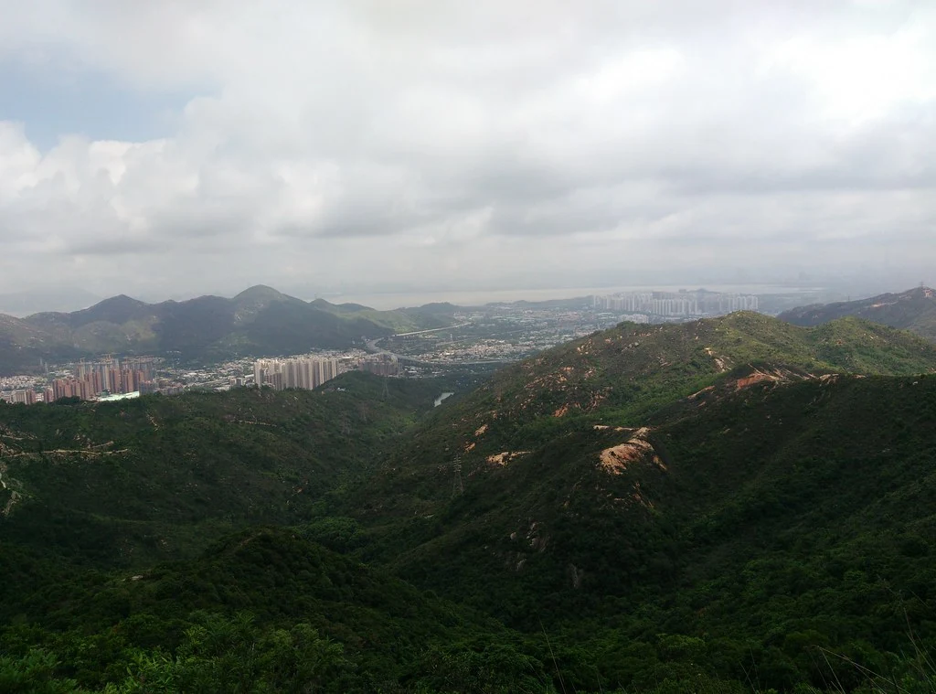
A reservoir at the park boundary
Building storage after the war
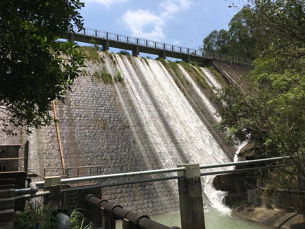
The country-park account identifies Tai Lam Chung Reservoir as the first water storage facility built after the war. Construction began in 1951 and required a major dam; the pipelines connected the reservoir to the territory-wide supply network. AFCD also describes Ho Pui Reservoir’s water as being used to irrigate agricultural land in the north-western New Territories. Together, the examples show how reservoirs support both the public water supply and agriculture across the north-western New Territories.
Water, woodland and managed country
The country park’s forests are also the result of deliberate work. AFCD says afforestation began in 1952 after erosion and soil loss threatened the catchwaters, and describes how vegetation gradually established itself. Reservoirs and wooded slopes now form connected parts of the country park. Lam Tei’s position on the western edge places it within the wider Tai Lam water system and the modern geography shaped by water storage.