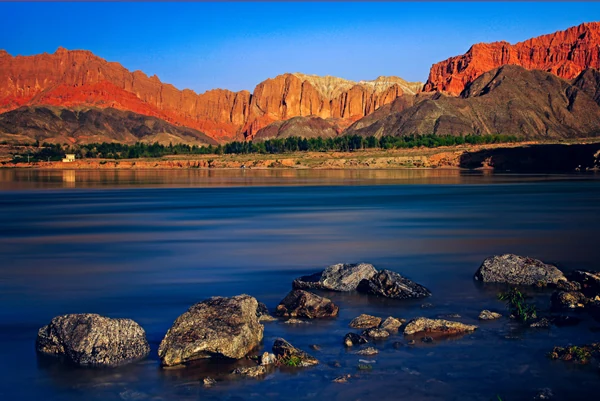
A Guide County tourism page locates the county’s most concentrated Danxia landforms near Ashigong Village and Qianfo Grand Canyon. It describes an upper layer of earth-forest terrain above Danxia formations in the middle and lower sections. The county page estimates the Danxia area across Guide at about 400 square kilometres. A 2024 county report identifies the Ashigong color peaks as layers of colored gravel and sandstone. At Qianfo Grand Canyon, those descriptions give the landscape a visible profile: earth-forest forms above, red rock below, within a wider valley region.
From the journal
Red Rock and River-Cut Landforms at Guide
Guide County’s Danxia landforms reveal red gravel and sandstone in a layered landscape shaped by river incision, running water and wind. County records locate the most concentrated formations near Ashigong.
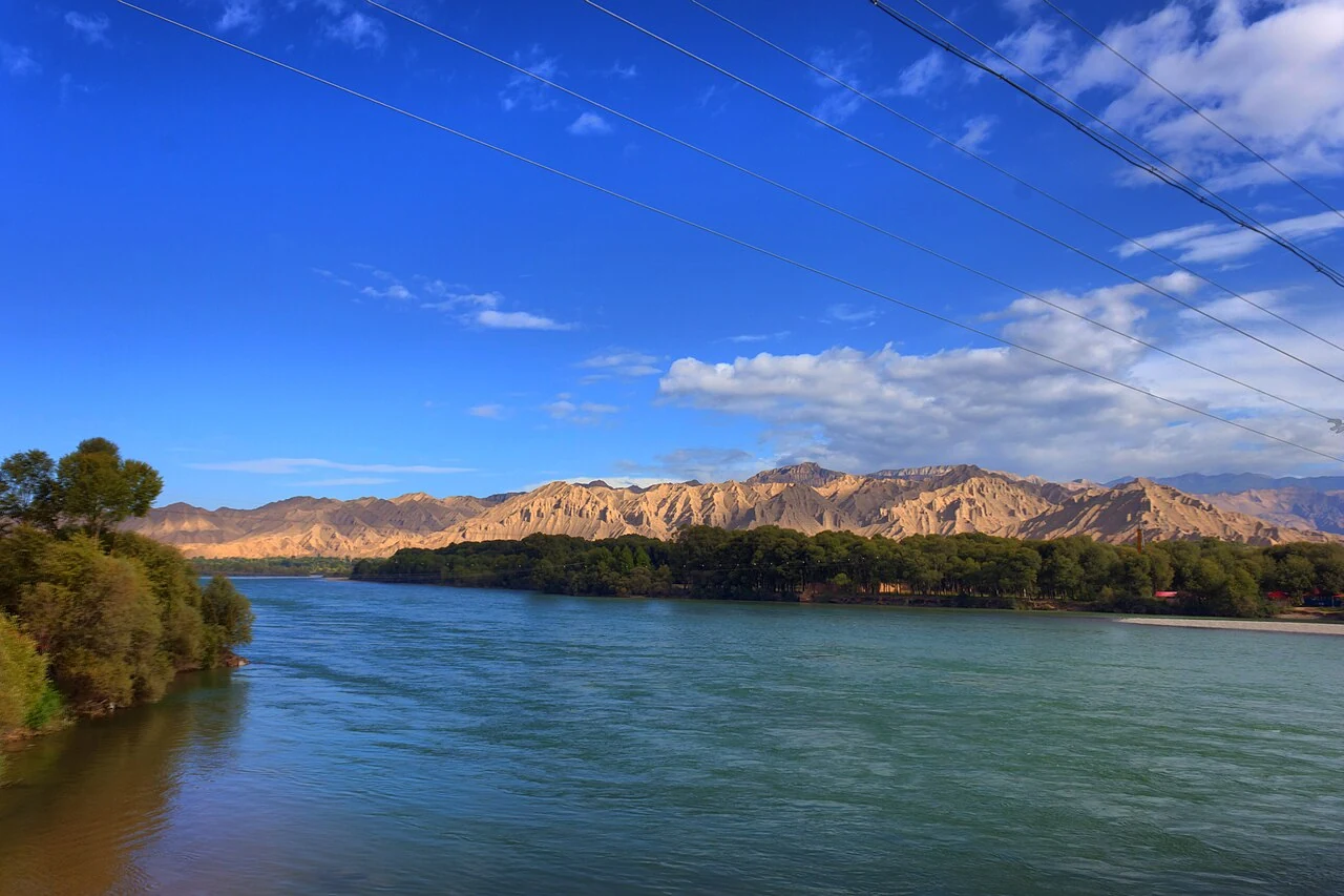
A layered landscape near Ashigong
Rock exposed by water and time
The county tourism page links exposed red sandstone to regional uplift and the Yellow River cutting downward through the land. It describes running water and strong winds shaping the rock over time. The result is visible in the contrast between layered slopes and steep, irregular faces.