From the journal

At Ani Maqen, Measuring the Glacier’s Edge

A report from the Forestry and Grassland Administration follows a Maqin herding community’s glacier monitoring: marked points, measuring tapes and repeat observations around freeze-up and melt.

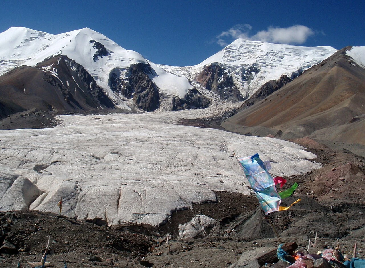
A close view of an Ani Maqen glacier in August 2011; not a current snowline measurement.

Return to the same point

At a site called Qian Ding Zhang, a red-painted mark records the previous year’s measurement. A team member bends over a measuring tape and checks the distance between the glacier edge and that earlier mark. The scene is described in a 2025 report by the National Forestry and Grassland Administration, which follows a monitoring team from Xueshan Township in Maqin County.

Local herders began organizing to measure the glacier’s snowline in 2008, according to the report. The work is timed around the seasonal shift between melting and freezing, with concentrated observations near May and November. Repeated measurements turn a difficult mountain edge into a record that can be compared year by year.
A shared observation network

The report places the herders’ measurements within a wider network. Maqin’s mountain protection station joined the observation work in 2009, and researchers from the Chinese Academy of Sciences later took part. The tools now include satellite remote sensing, drone modeling, monitoring markers and measuring tapes.

Each method records a different scale: a satellite surveys the broader glacier, a drone builds a terrain model, and a tape measures a local edge against a fixed mark. Together they make change legible through repeated observation.

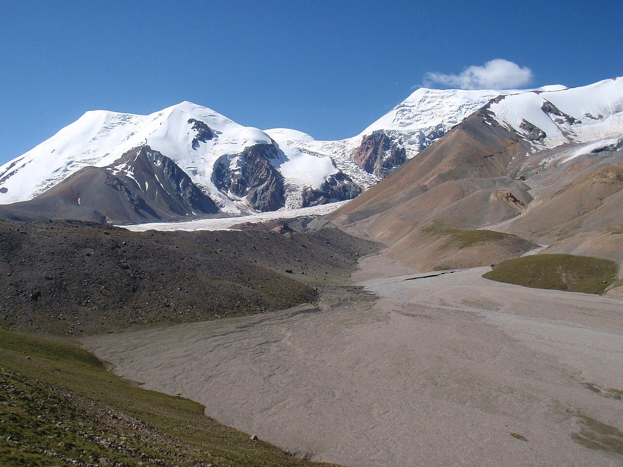
Ani Maqen’s mountain and glacier landscape, photographed in August 2011.
Continue exploring · Golog ↗
Photo credits and rights
  1. A close view of an Ani Maqen glacier in August 2011; not a current snowline measurement.Raki_Man · CC BY 3.0 Photo source ↗ Rights information ↗ Proportionally resized and converted to WebP without cropping. No objects were added, removed or reconstructed.
  2. Ani Maqen’s mountain and glacier landscape, photographed in August 2011.Raki_Man · CC BY 3.0 Photo source ↗ Rights information ↗ Proportionally resized and converted to WebP without cropping. No objects were added, removed or reconstructed.