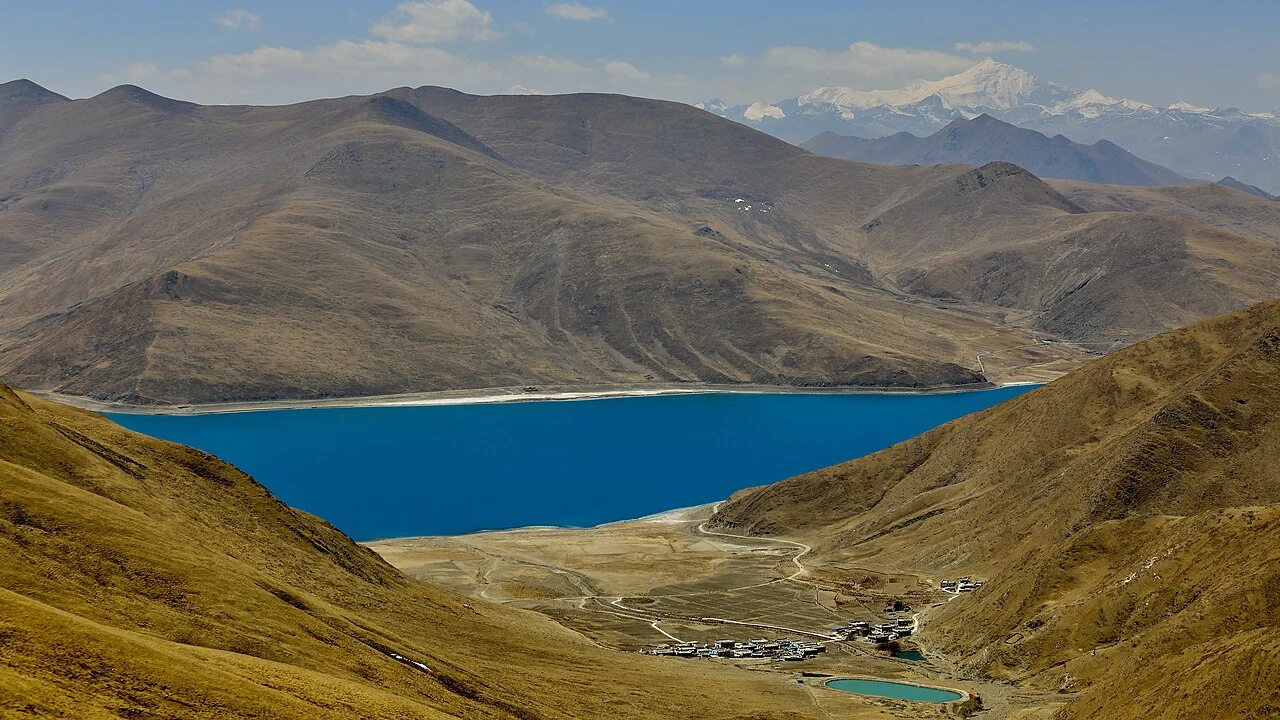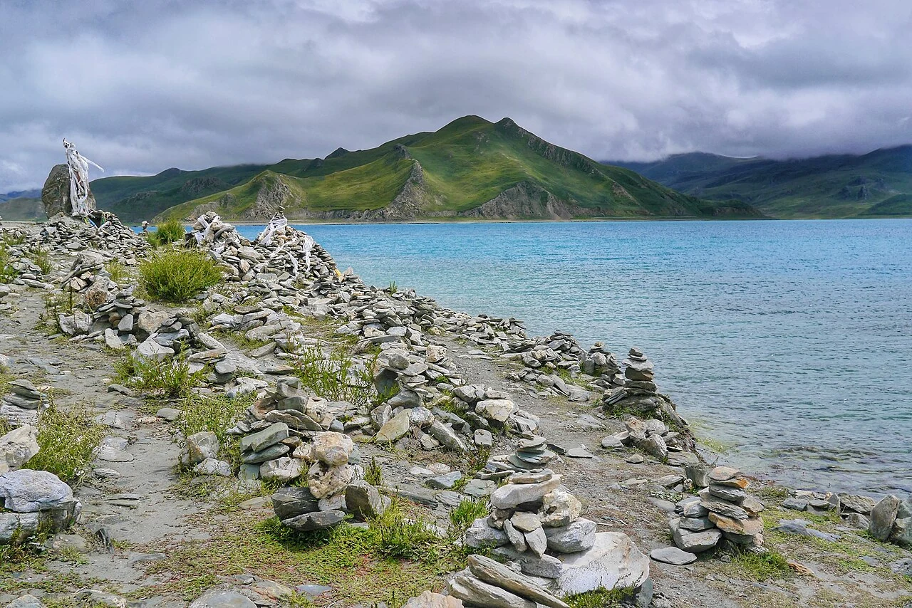
Yamdrok’s irregular arms extend between Nanggarzê and Gonggar, creating bays, projecting land and long stretches of shore. In a panorama, these edges give the blue water its outline. At ground level, they become a series of particular places where people, roads, fields and the lake come into proximity.
The shoreline is therefore both a visual feature and a working boundary. Activities on land can affect water, while changes in water level alter the meeting between them. Looking closely at that edge reveals a different scale of the lake from a view taken high above it.