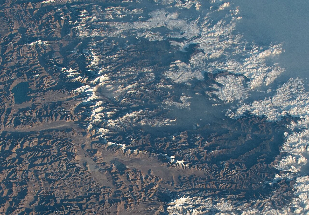
Yadong County’s landscape is defined by steep differences in elevation. A 2019 regional feature describes two distinct climate zones separated around Phari, the high settlement at 4,360 metres. Farther down the valley, the same article describes deep green slopes, shrubs and tall trees, waterfalls and streams. That contrast gives the road through Yadong a changing sequence of views: open highland grassland near Phari gives way to a narrower, greener valley toward the south. The variety belongs to the county’s north–south topography, where height, slope and the direction of the valley shape what grows and how water moves.
From the journal
Yadong’s Forested Valleys
Nine rain gauges tracked premonsoon rainfall along Yadong Valley; the study separately describes afternoon and nighttime monsoon peaks across the high central Himalaya.
In the same city · Shigatse ↗A valley between two climates
The Yadong River begins with a meeting
At Lower Yadong, rivers descending from Kangbu and the plateau-side Phari meet to form the Yadong River. The 2019 report describes the current as swift where the valley’s height differences bring water together. From there, the river becomes a sound as much as a line on the map: the article calls its rush a natural loudspeaker for the town. The river’s course links a high pastoral landscape with the greener valley farther south, carrying water through settlements and fields. It also gives Yadong’s forests and wetlands a geographic setting—a connected valley system fed by streams from different elevations.
Nine stations measured a different spring
A research team installed nine rain gauges along the Yadong Valley, from 2,800 metres to about 4,320 metres, and collected more than two years of observations. In the 2016–2018 record, premonsoon rain from March through May supplied more than 30 percent of annual precipitation on average, reaching 40 percent at some stations. Those results describe rainfall measured along the Yadong transect.
The paper separately reports afternoon and nighttime peaks in monsoon precipitation at high altitudes of the central Himalayan region. This is a broader regional finding, distinct from the seasonal rainfall shares measured at the Yadong stations.
A living landscape of water and trees
The local account gives the gauge transect a landscape: rivers from Kangbu and Phari meet at Lower Yadong, while forest, streams and wet ground extend along the valley toward Duina. These details place the rain observations within a north–south corridor of steep elevation changes.
The nine-station record describes Yadong’s premonsoon rainfall. The paper’s afternoon and nighttime monsoon peaks widen the frame to high-altitude sites across the central Himalaya; they are not presented as a daily-rain measurement specific to Yadong. Together, the local valley account and regional study show how different scales of observation can illuminate the same mountain system.