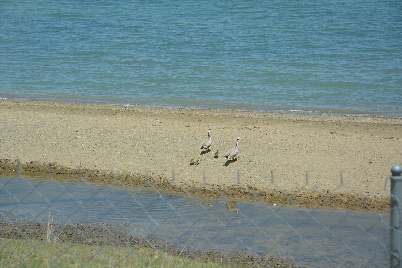
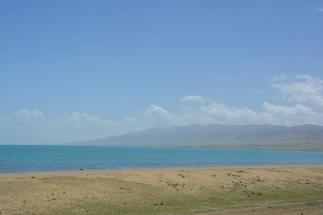
The Qinghai Lake basin is larger than any one prefecture. A 2023 provincial action plan assigns work across Hainan, Haibei and Haixi prefectures, while the watershed law defines the basin as the lake together with the catchments of rivers that flow into it. The Buha, Shaliu and Hargai are among those rivers. Each carries water toward the lake through its own valley and wetlands. The naked carp makes that connection visible: during the spawning season, fish leave the saline lake and move upstream into freshwater. Where dams once interrupted the route, fish passages provide steps through the river. A structure on one river becomes part of a relationship that crosses county and prefecture lines.
From the journal
Grass, River, Lake, Fish, Bird
Qinghai Lake ecology is easiest to understand as a watershed: inflowing rivers, wetlands, fish migration and waterbird habitats connect places across county lines.
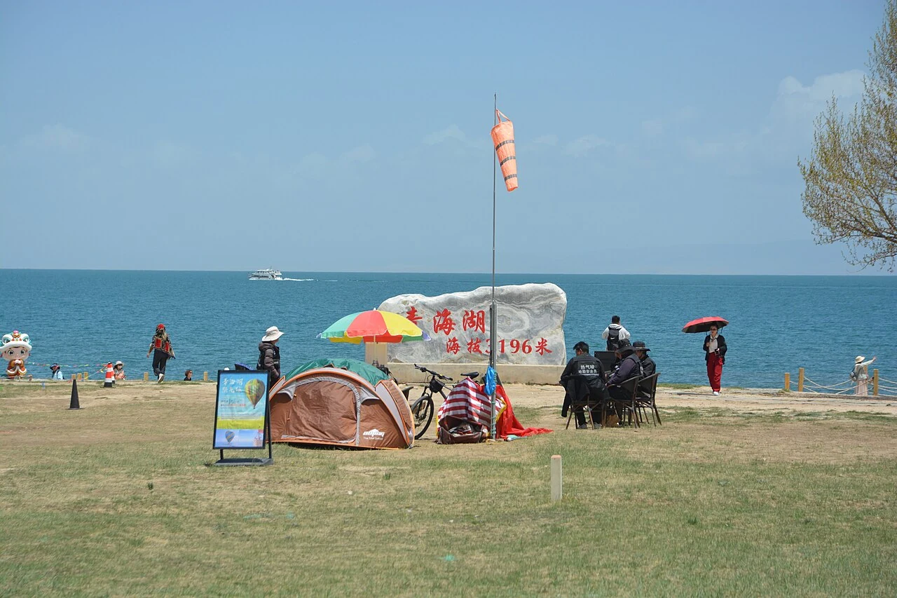
The lake begins beyond its shoreline
A living network, observed in pieces
Birds add another layer to the watershed. A 2023 dataset records habitat, species and counts at 24 plots and 26 points; a 2024 breeding-season survey counted 47 species across 24 major habitats. At the Quanji River, waterbirds also gather above the migrating fish, and a field report describes gulls and terns taking naked carp from the water. The scene joins river and lake through a direct relationship between prey and predator. Across the wider basin, wetland surveys make those connections visible in different places and seasons. Grass, river, lake, fish and bird are a set of relationships measured at specific sites.