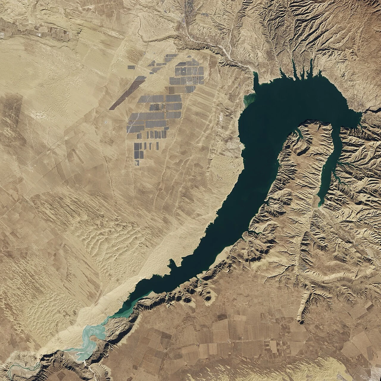
Gonghe County’s geographic profile places it south of Qinghai Lake and north of the Yellow River. Its landscape shifts from the northern lake basin through the central Gonghe Basin to the river valley in the south. The northern basin and southern river valley are distinct water settings within one broad county landscape.
From the journal
Gonghe Between the Lake Basin and the Yellow River Gorge
Gonghe County sits between two distinct water landscapes: Qinghai Lake to the north and the Yellow River valley at Longyangxia to the south.
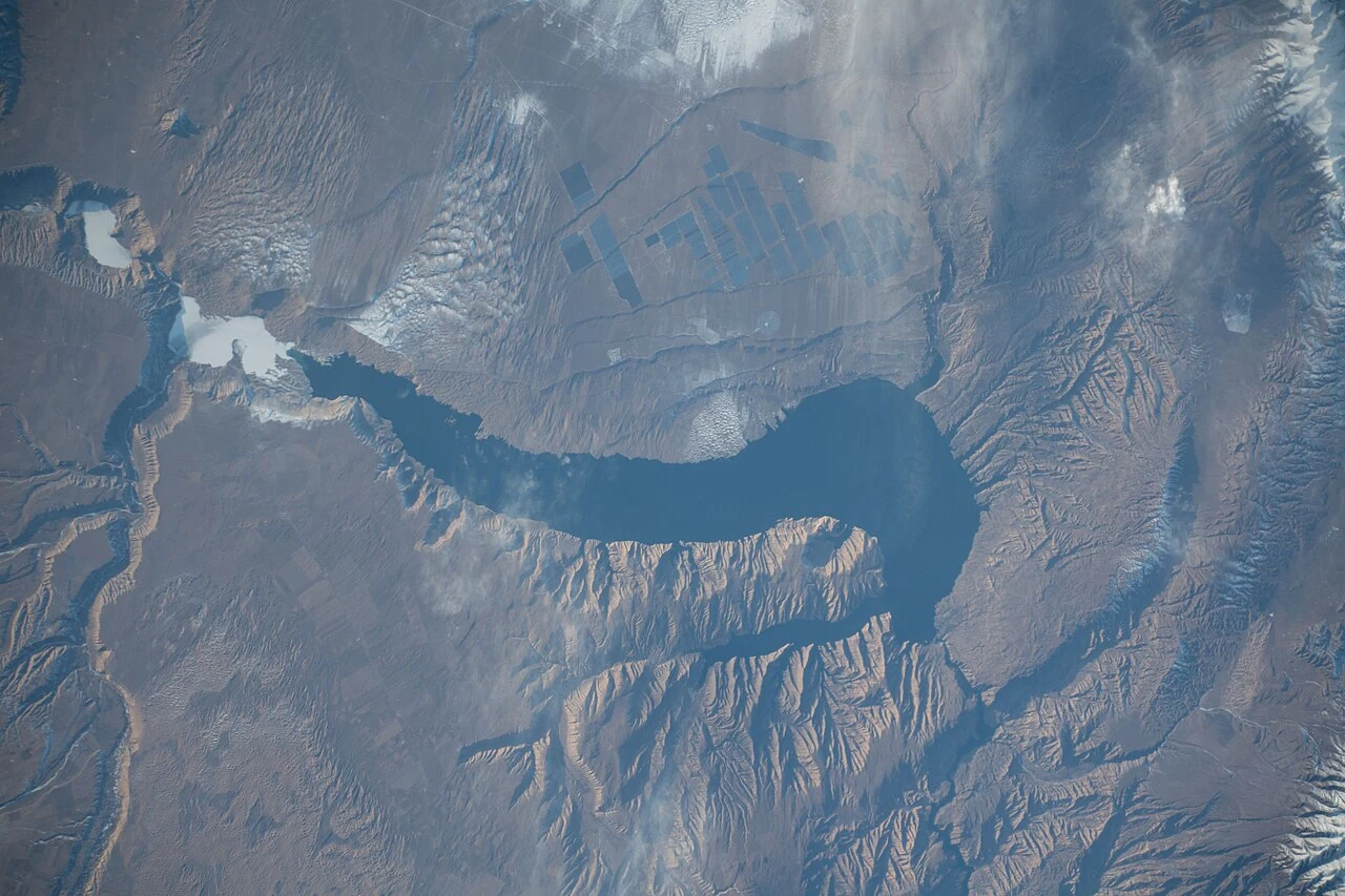
A county between two waters
The gorge and the river
The county profile records a 90-kilometre stretch of the Yellow River within Gonghe and locates Longyangxia Hydropower Station in the county. The gorge concentrates river, reservoir and dam in one dramatic reach. From Qinghai Lake’s open shoreline to the steep-sided valley, Gonghe holds two different water landscapes within a single administrative map. Longyangxia gives the southern river corridor an industrial landmark; the northern basin remains tied to Qinghai Lake.