From the journal

Penha and A-Ma Hills: Reading Macao from Its Ridges

Penha and A-Ma Hills shaped Macao’s older landscape through religious sites, harbor approaches and a linked historical parish; their present surroundings have since changed.

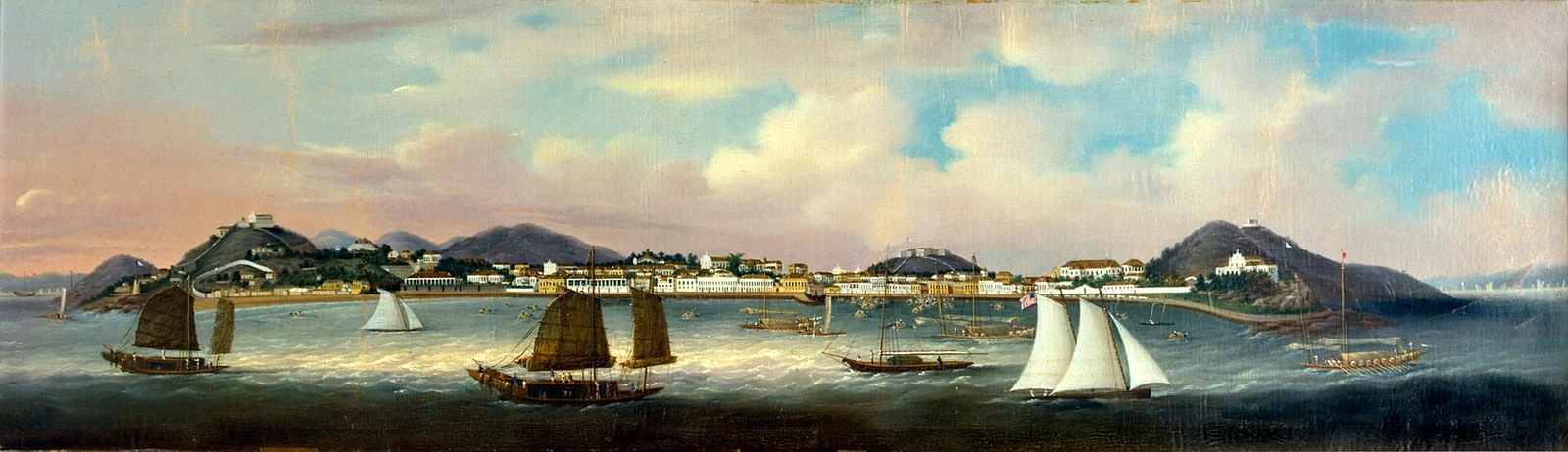
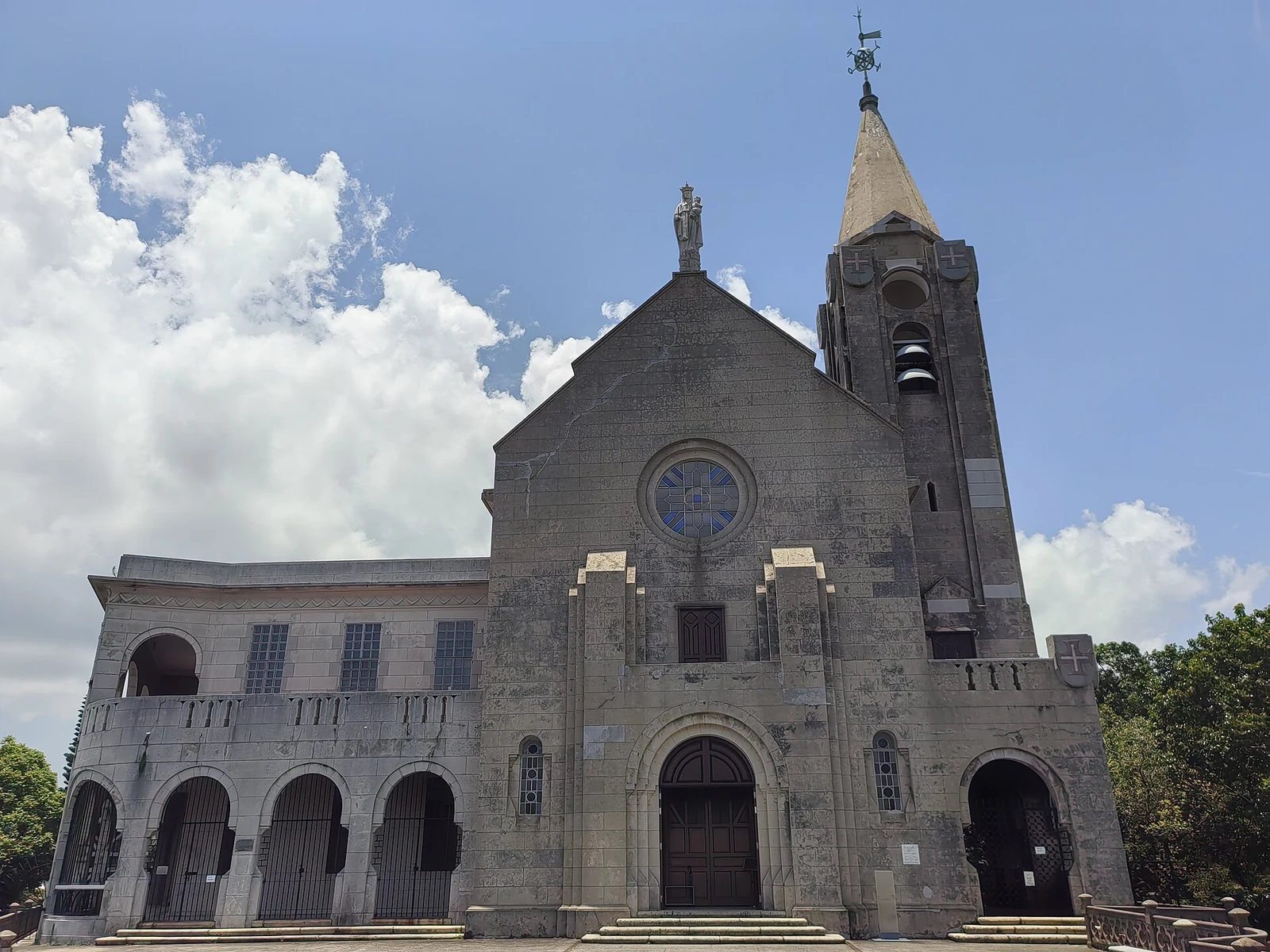
Our Lady of Penha Chapel on the hill above Macao.

Penha and A-Ma in the historical landscape

Penha Hill and A-Ma Hill belonged to the old parish of St. Lawrence, one of Macao’s earliest parish areas. Penha was also called “Bishop’s Hill”; its ridge and A-Ma Hill formed a landscape of chapels, residences, civic offices and harbor approaches.

Penha Chapel looks across the estuary toward Taipa, Coloane, the Pearl River and Wanzai. A-Ma Hill held the Santiago fortress, an ammunition store and a chapel. These sites shared a geographic relationship, while their buildings served different purposes: worship on the ridge, defense near the harbor and civic life between them.
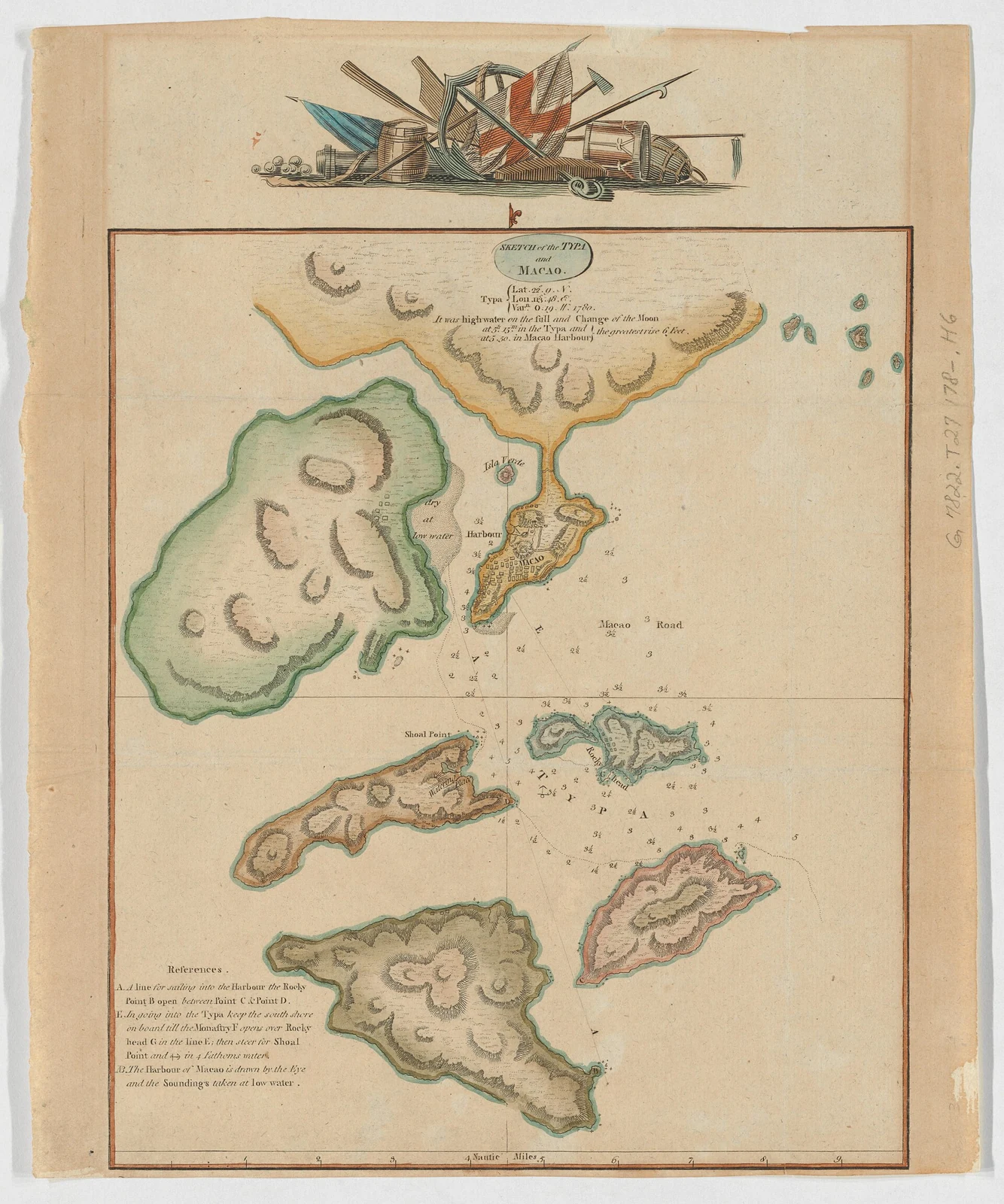
A historical chart of the Typa and Macao area, dating from around 1780.

A-Ma Hill and the old harbor edge

A Santiago fortress, an ammunition store and a chapel once stood on A-Ma Hill near the harbor. Penha Hill, also called Bishop’s Hill, rose across the old parish of St. Lawrence. The ridges brought worship, defense and harbor approaches into one landscape.

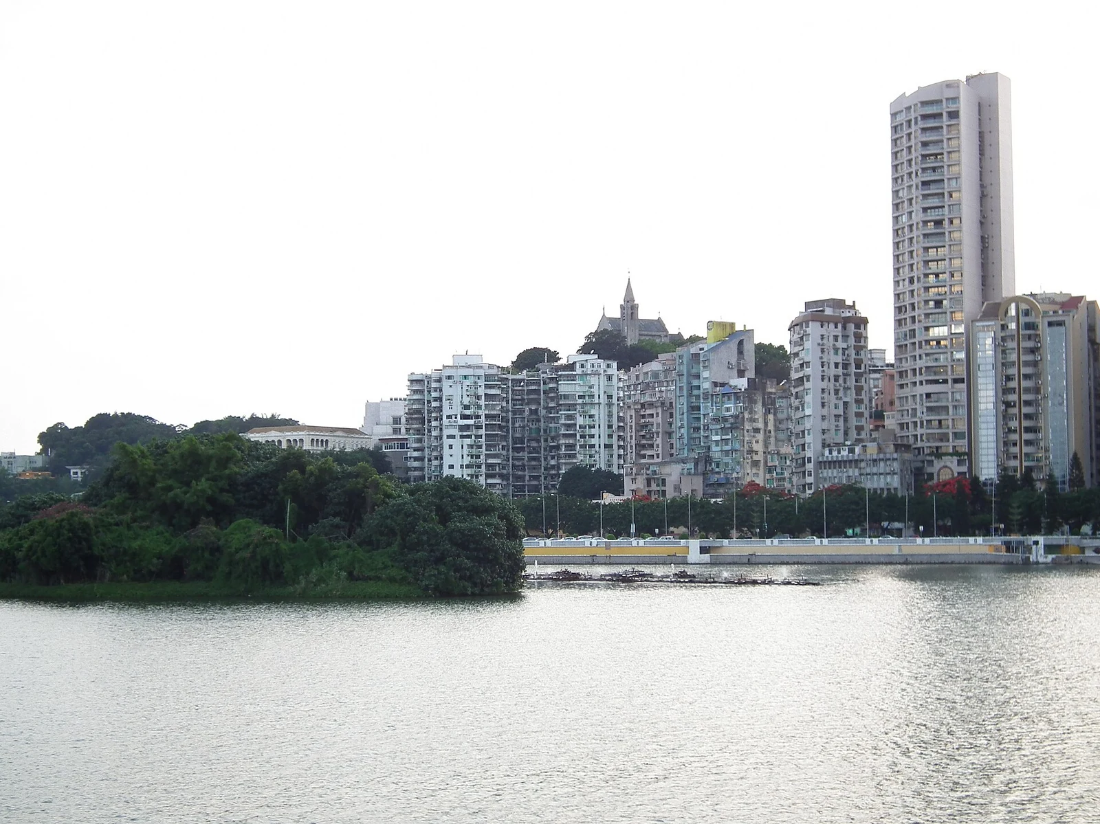
A-Ma Temple’s forecourt still extends the temple grounds into a square where worshippers gather. The waterfront and buildings have changed over time, but the two hills remain distinct landmarks within Macao’s historic center.

Reading an old view in a modern city

Historical descriptions of these ridges were written before later urban growth and land reclamation changed the shoreline. Their lists of islands and waters preserve a view of Macao as a port landscape, while present-day buildings and filled land make that geography look different.

Penha Chapel and A-Ma Temple offer two distinct ways into this landscape: a hilltop sanctuary associated with views across the estuary, and a temple forecourt where worship continues. The hills connect them geographically, but not as one institution or tradition. Their shared value lies in how they help explain the peninsula’s older relationship with water, settlement and movement.

The hill and surrounding waterfront seen across Macao’s water.
Macao’s harbour and Praia Grande in a historical oil painting; a painted view rather than a modern photograph.
Continue exploring · Macao ↗
Photo credits and rights
  1. Yumeto / CC BY-SA 4.0 · CC BY-SA 4.0 Photo source ↗ Rights information ↗
  2. A historical chart of the Typa and Macao area, dating from around 1780.Alexander Hogg / Public domain · Public domain Photo source ↗ Rights information ↗
  3. The hill and surrounding waterfront seen across Macao’s water.lienyuan lee / CC BY 3.0 · CC BY 3.0 Photo source ↗ Rights information ↗
  4. Macao’s harbour and Praia Grande in a historical oil painting; a painted view rather than a modern photograph.Possibly Sunqua (active 1830–1870) / Public domain · Public domain Photo source ↗ Rights information ↗