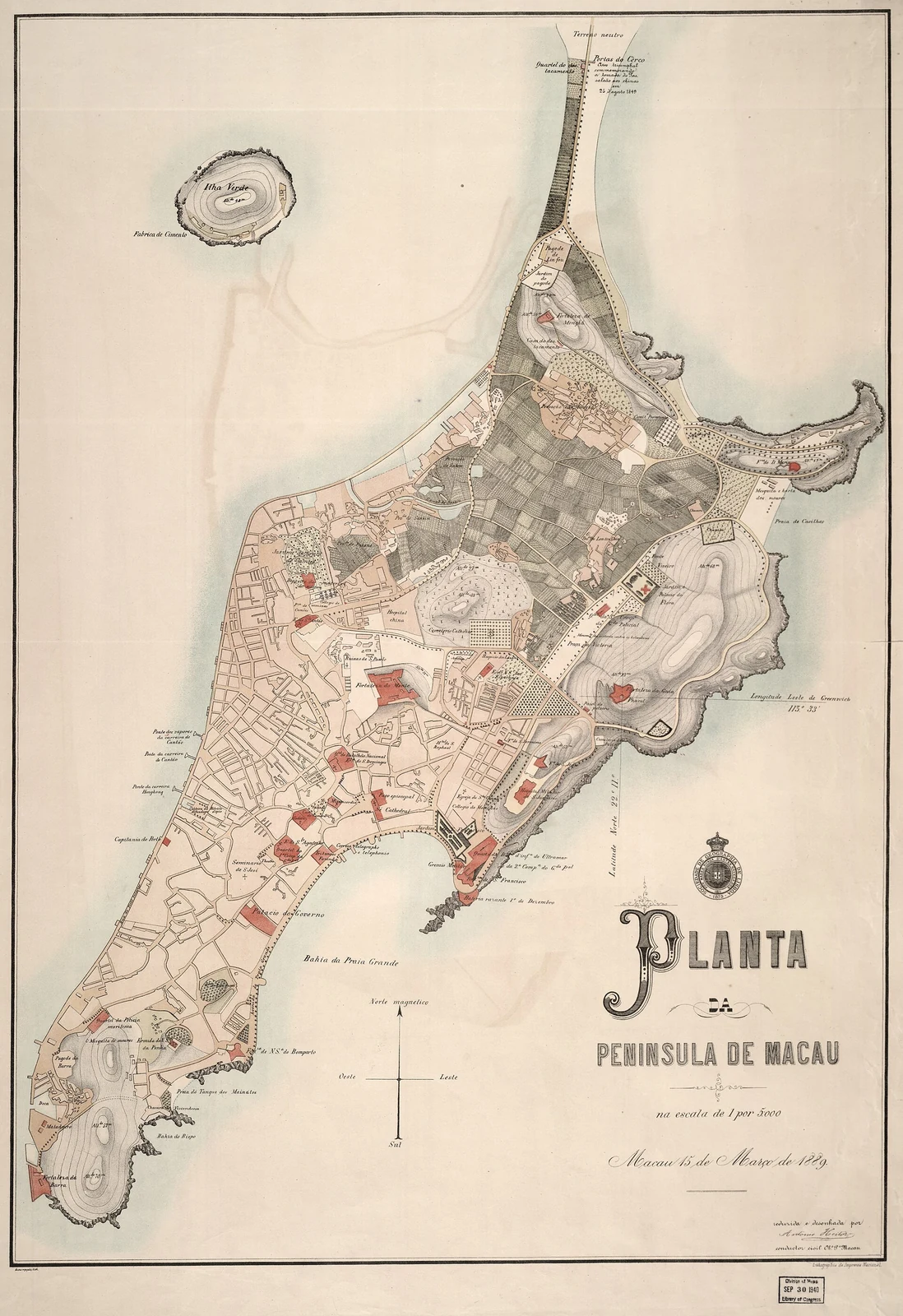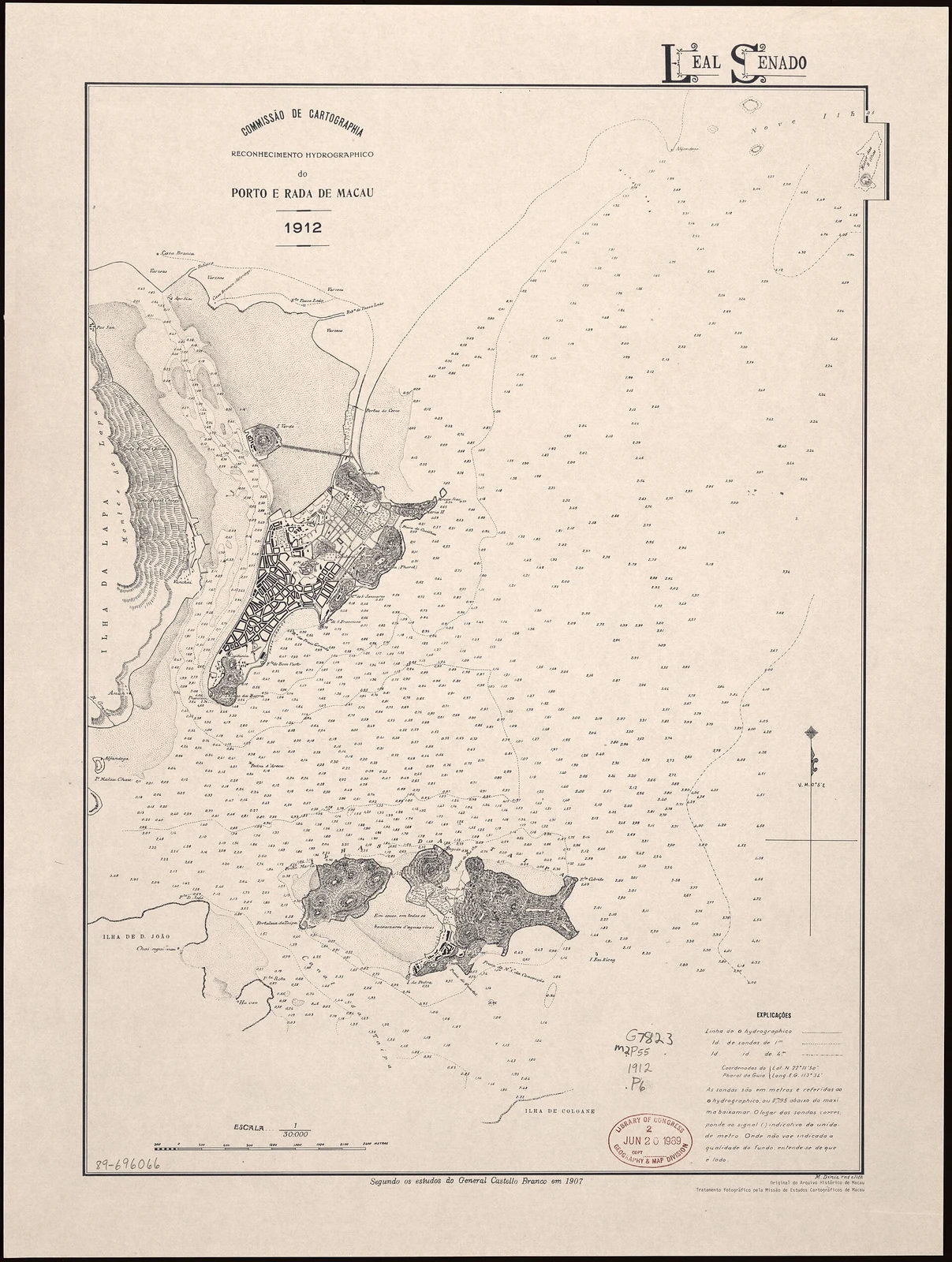
A large-scale map from 1889 shows Ilha Verde as an island northwest of the Macao Peninsula. Maps made less than a decade later show a narrow causeway connecting it to the peninsula. Together, the 1889 map and the 1922 harbour plan show how Ilha Verde’s separation from the city and the outline of the Outer Harbour changed over time.
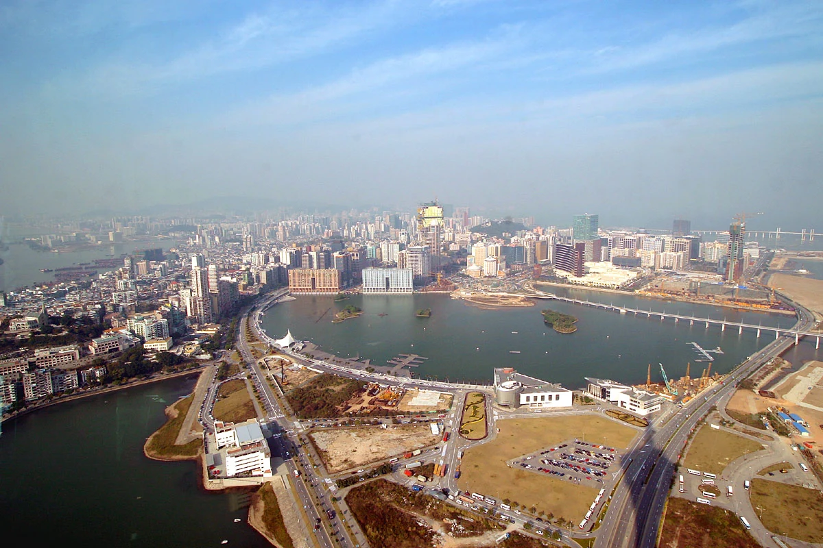
A different map from 1922, the plan for works on an artificial harbour, shows schemes for reclamation that would not all be completed for decades. The plan anticipated parts of later projects, including the Outer Harbour and Nam Van Lake. It is a planning document, not a photograph of what had already been built; its value lies in showing how future shorelines were imagined.