On the morning of 21 May 2006, an 18-person team from the Institute of Atmospheric Physics left Dingri County for a field site near Everest. Their account begins in the county town and follows a 90-kilometre road toward the mountain. The first stretch ran west along the G318 highway before turning onto a rougher route. For the researchers, the day was a journey into the terrain they had come to study; for readers, it offers a way to see how Dingri’s settlements and roads sit between the plateau and the Himalayan range.
From the journal
Dingri: A Valley Road Before Everest
A 2006 field team’s journey from Dingri town to Zaxizong follows the bends of the Zaga Chu, where a glacier-fed valley gradually opens toward Everest.
In the same city · Shigatse ↗A research team leaves Dingri
Over the pass to Zaxizong
After passing through the Gaula mountain area, the team’s loaded truck slid off the road and took six hours of unloading, digging and towing before it could continue. At 6:30 in the evening, the researchers reached Zaxizong, a village in the Zaga Chu valley still 30 to 40 kilometres from Everest. The field account describes the village inn’s Tibetan sitting room, where a stove warmed tea, and its upstairs guest rooms. Zaxizong was a working stop along a difficult route, a place to eat, rest and continue the next morning.
Following the river upstream
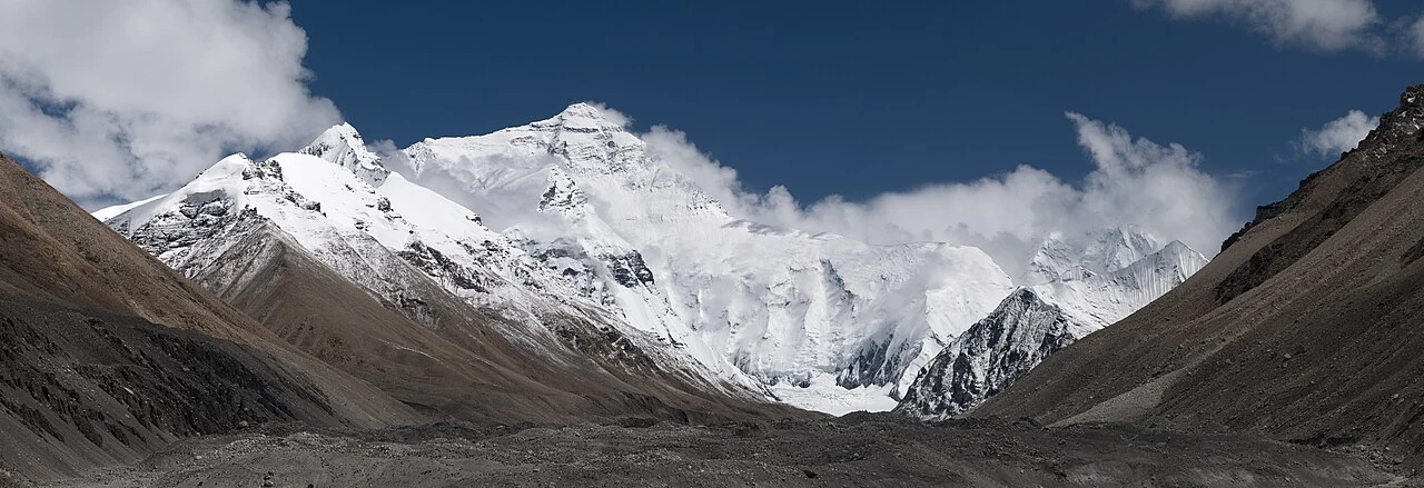
Beyond Zaxizong, the team continued along the Zaga Chu, which the account identifies as a stream fed by meltwater from Everest’s glaciers. The river valley offered a gentler route than the steep road over the pass. In the final ten kilometres, the Zaga Chu turned south toward the mountain. The valley opened along a north–south axis, with glacial boulders beside the water and Everest rising at its head. The researchers’ route makes the river more than a line on a map: it is a guide through the changing scale of the landscape.
The valley before the summit
The journey’s narrative reaches Everest by way of a village, a pass, a river and a widening valley. Zaxizong appears before the summit in the researchers’ chronology, with the Zaga Chu connecting daily settlement to the high mountain environment. The field account records a single day’s travel in 2006, including weather, road conditions and a night in the village. This close sequence links Dingri town, the high pass, the village inn and the glacier-fed watercourse in a single day of fieldwork.