Ranwu Lake lies in southeastern Tibet, where rain, rivers and glacier melt meet within a high mountain basin. Rather than describe the lake through a single view, a 2017 study in the journal Acta Geographica Sinica used flow monitoring to estimate its water balance. The researchers worked with observations collected from April through November 2015. Their question was practical: how much water entered the lake, and how did the sources change as the year moved from spring into summer and autumn? The resulting picture is seasonal, not a permanent description of the lake.
From the journal
Reading Ranwu Lake by Its Inflows
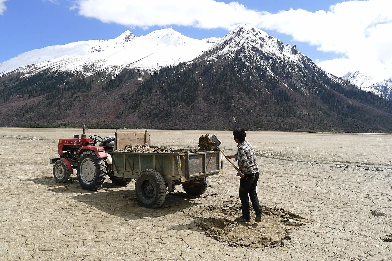
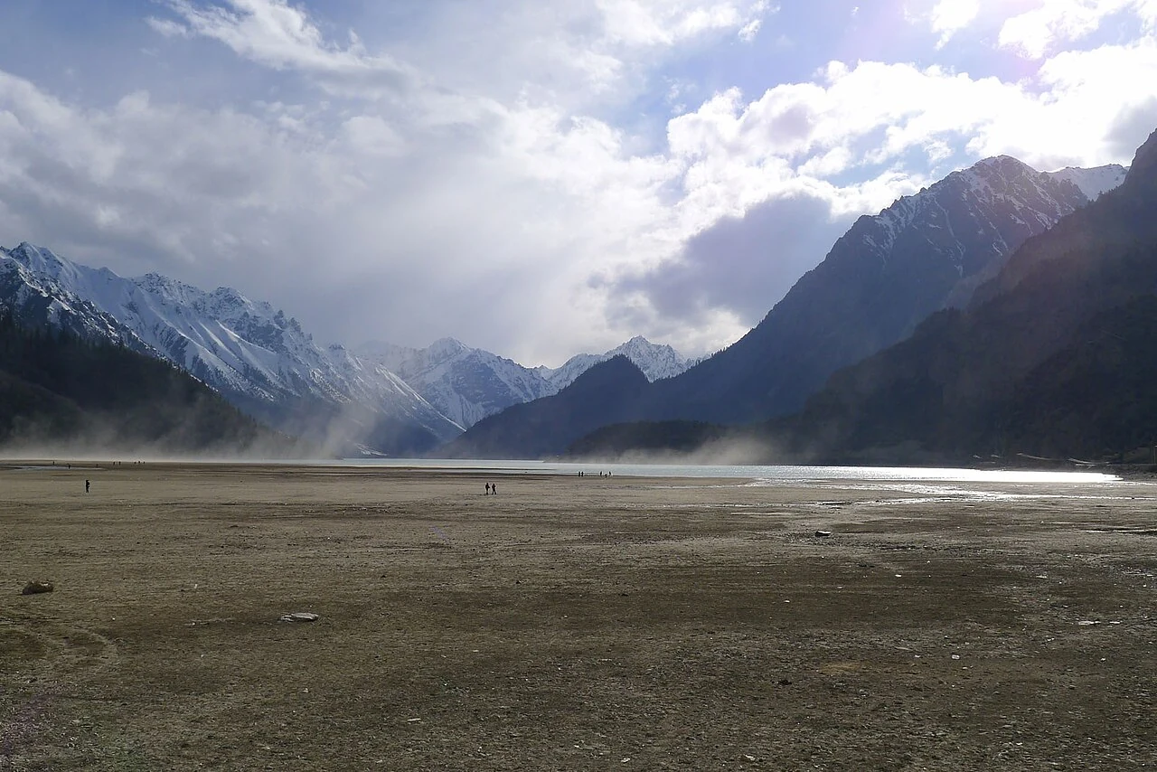
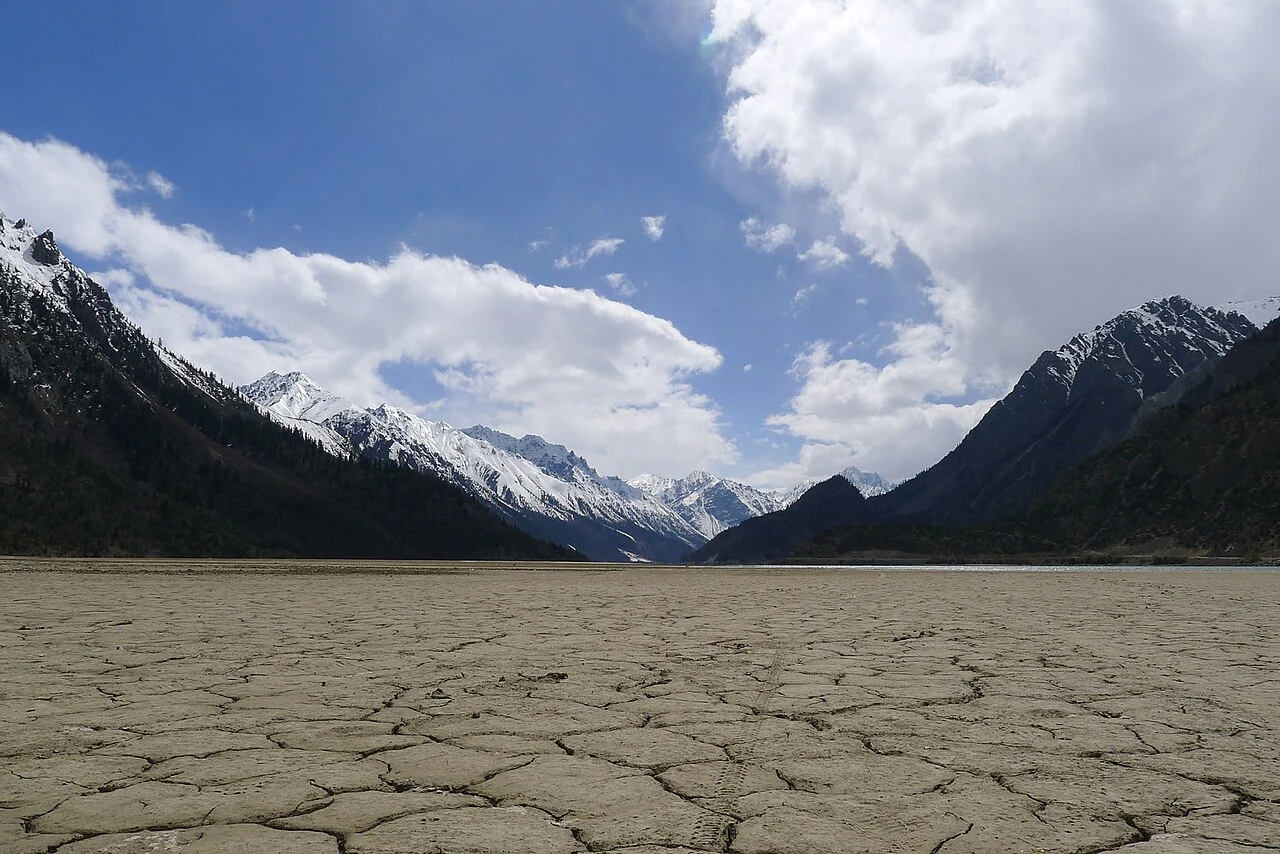
A field study of Ranwu Lake’s water balance in 2015 traced seasonal contributions from rain and glacier melt. Photographs from May 2012 show an exposed lakebed and sediment work, preserving an earlier moment rather than describing today’s shoreline.
In the same city · Chamdo ↗A lake fed by more than one season
Spring rain, then stronger meltwater
The study identifies spring rainfall as an important source of inflow. In summer and early autumn, glacier melt became a stronger control on incoming water. Across the monitored period, the authors estimated total inflow at 1.849 billion cubic metres, with glacier melt contributing about 1.006 billion cubic metres—more than half of the estimate. These figures belong to the 2015 observation and the researchers’ accounting method. They should not be read as annual values that repeat unchanged, since precipitation, snow and ice melt vary from year to year.
Why the study followed flow
A photograph can show a lake’s color, shoreline and surrounding slopes, but it cannot identify how much water arrives from each source. Flow measurements let researchers compare contributions and describe the timing of seasonal change. Rainfall matters in spring, while meltwater supplies a substantial share later. The authors’ estimates describe runoff contributions during their April–November 2015 monitoring period; that limited window makes the seasonal sequence clearer without turning it into a permanent annual norm.
A shoreline recorded in May 2012
Four selected photographs dated May 2012 preserve a separate visual record: a cyclist crossing an exposed bed, people removing sediment from the exposed lakebed, a distant basin and shoreline, and a dry river channel. They document what photographers saw at that time, not the lake’s present condition. Their value is the detail of an earlier visit—human scale against a broad basin and visible work at the water’s edge. Read beside the 2015 measurements, they show why dates matter: images make one moment visible, while hydrological monitoring follows inputs across months.